Photos from 3 different trips around Chile.
© David C. Hunter, 2011-2012
Click the images for a large version.
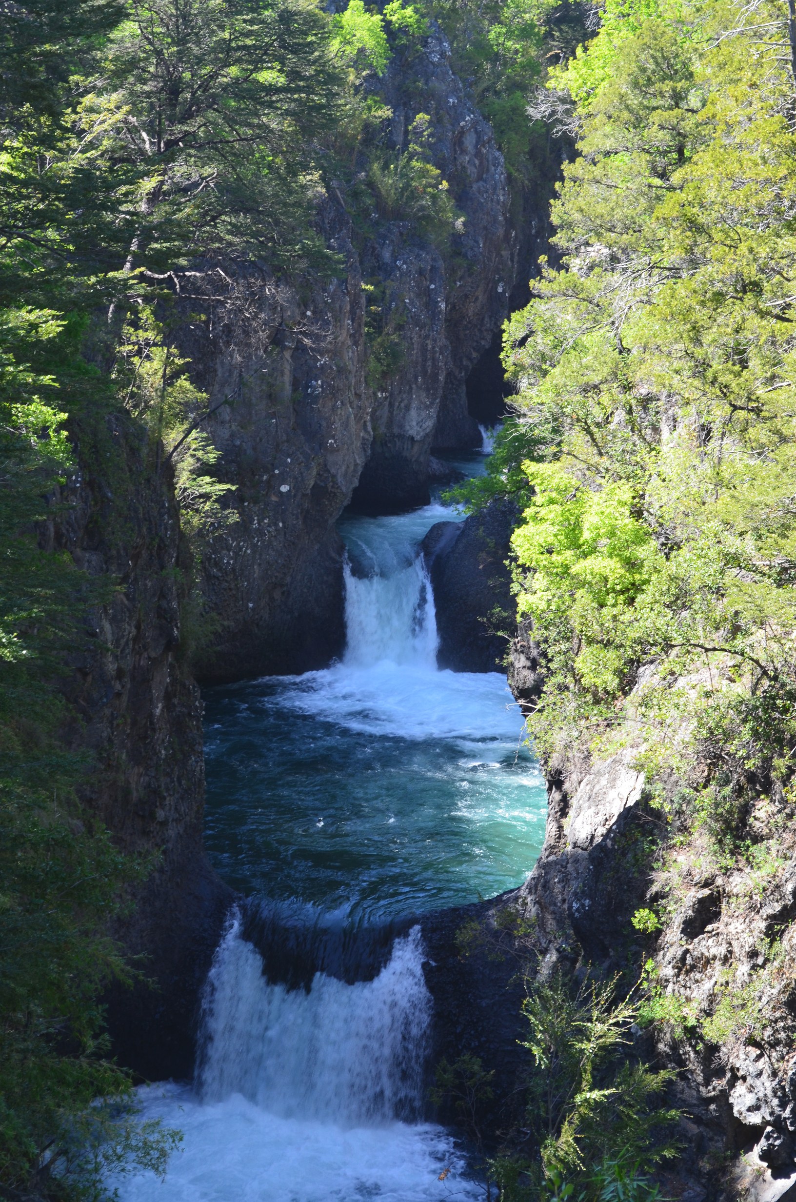
At the end of October I made it to El Parque Nacional Radal Siete Tazas. It is named after a series of large pools with a river running through them:
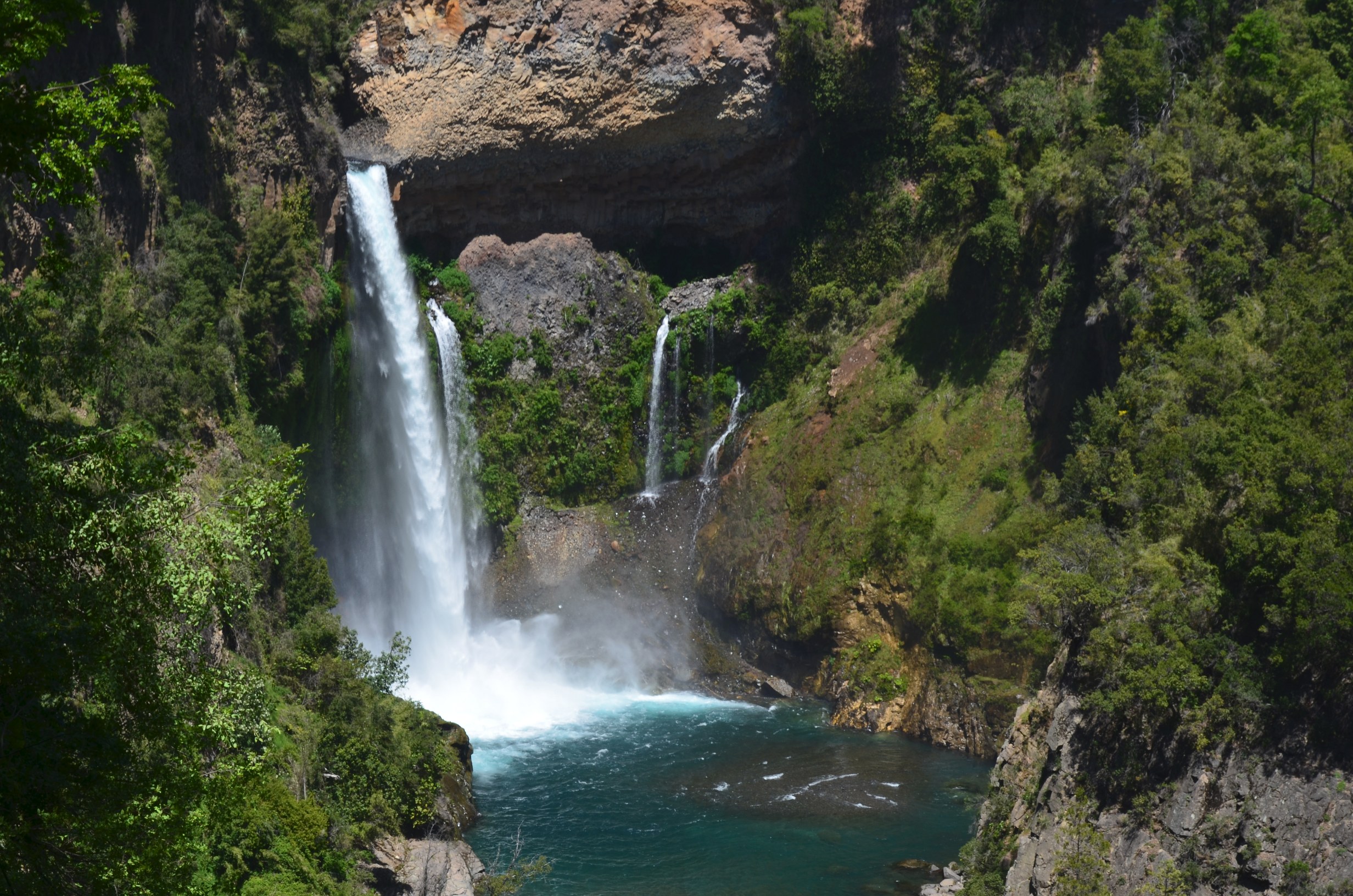
They also had some great water falls. This one is named Velo de la Novia:
Like many places in Chile the park has very clear signs:
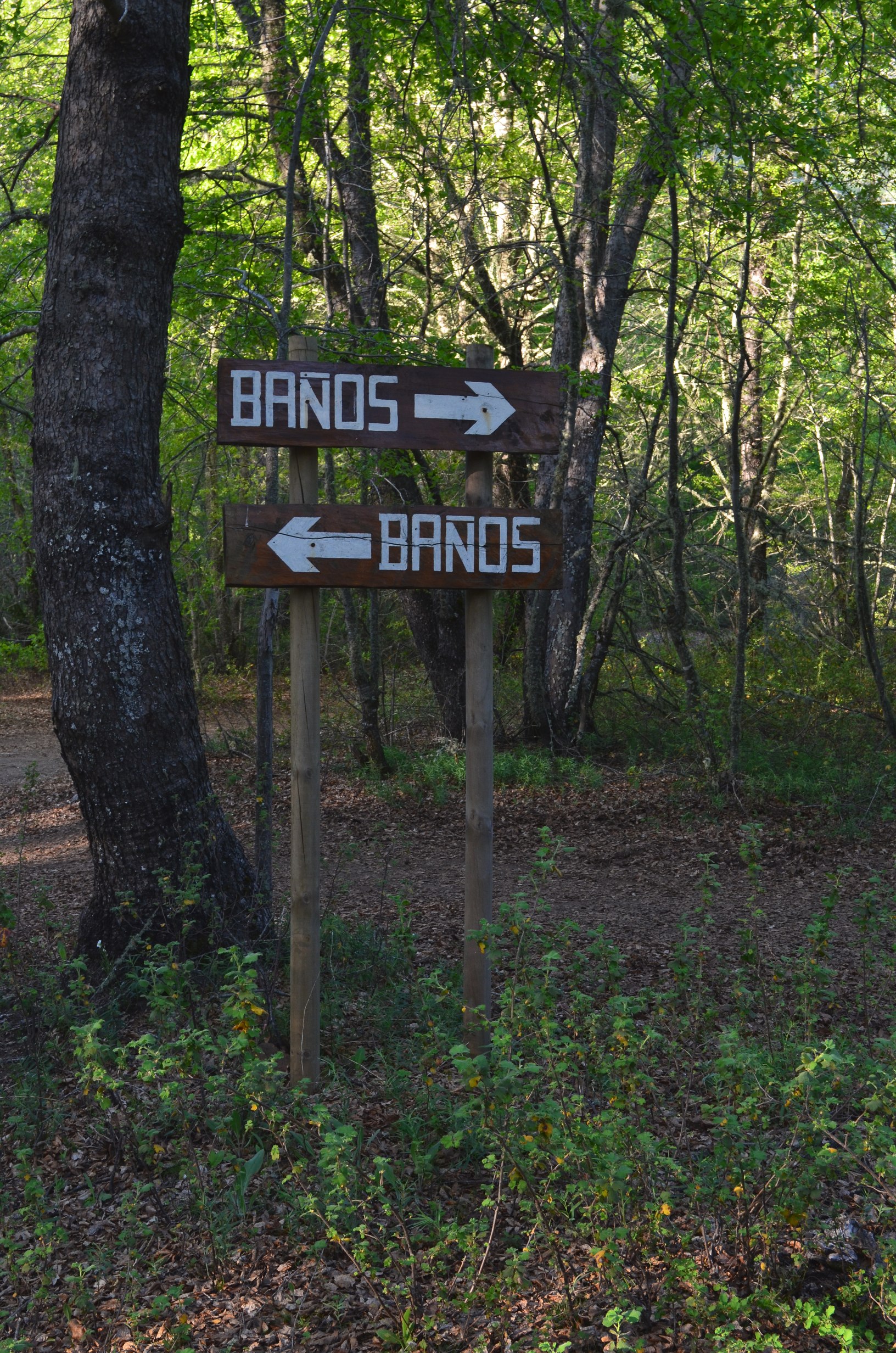
Thankfully I was not in need of the bano just then.
In late December I managed to head to southern Chile to an area near the town of Chochmo. This was a nice area, not very crowded, and very wet. A pleasant change form the Atacama Desert, which is so dry they have drip irrigation for the cactus gardens. And a nice change from Santiago, which is just too large of a city.
Access to Chochamo is by bus or plane to Puerto Montt, and then a 3 hour rural bus to Cochamo. It will leave you off at the bridge where the main road crosses the canyon. From there it is a 10km hike to the trail head. After that the trail is sometimes good and sometimes bad.
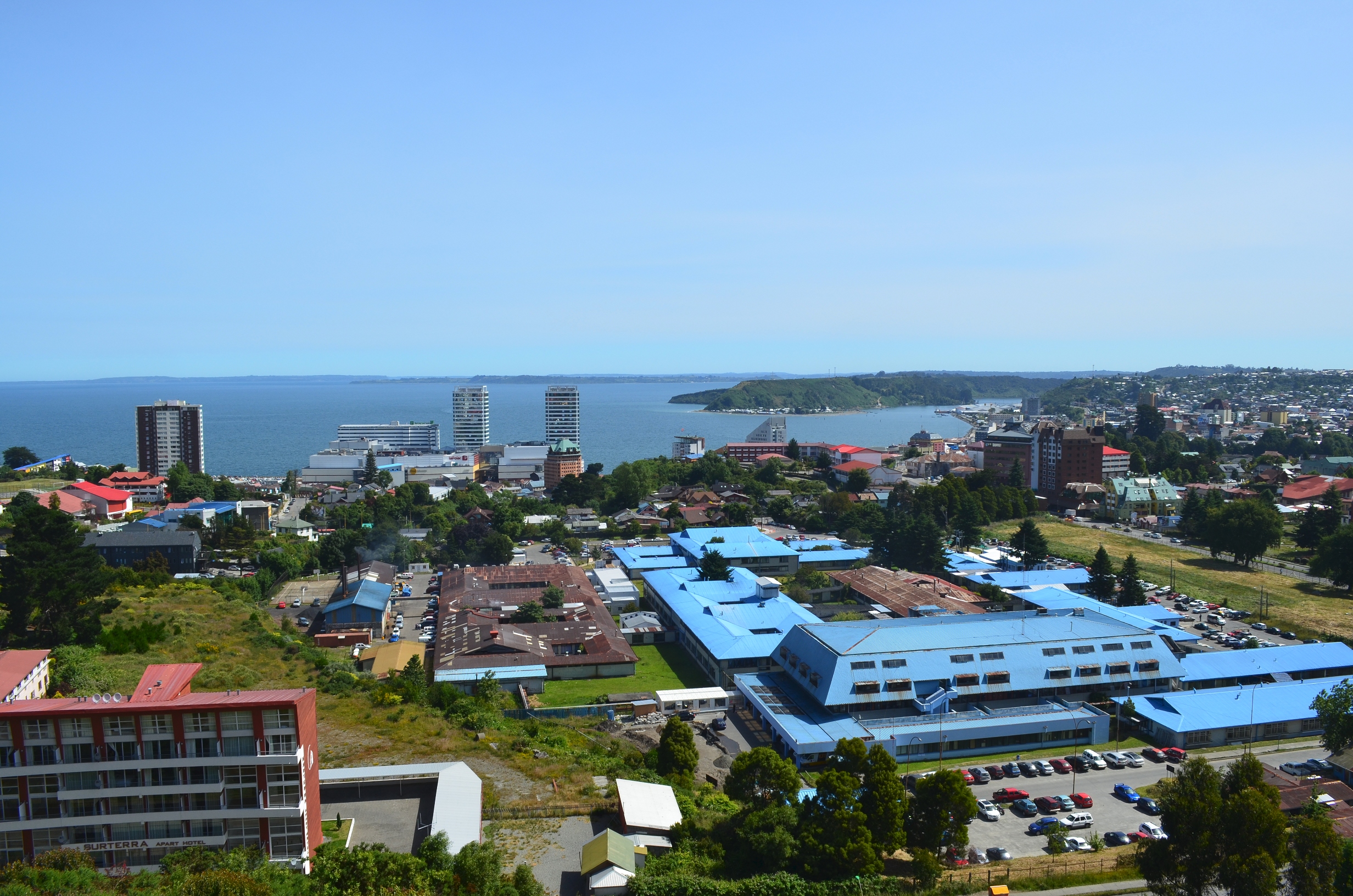
Puerto Montt is still a large city:
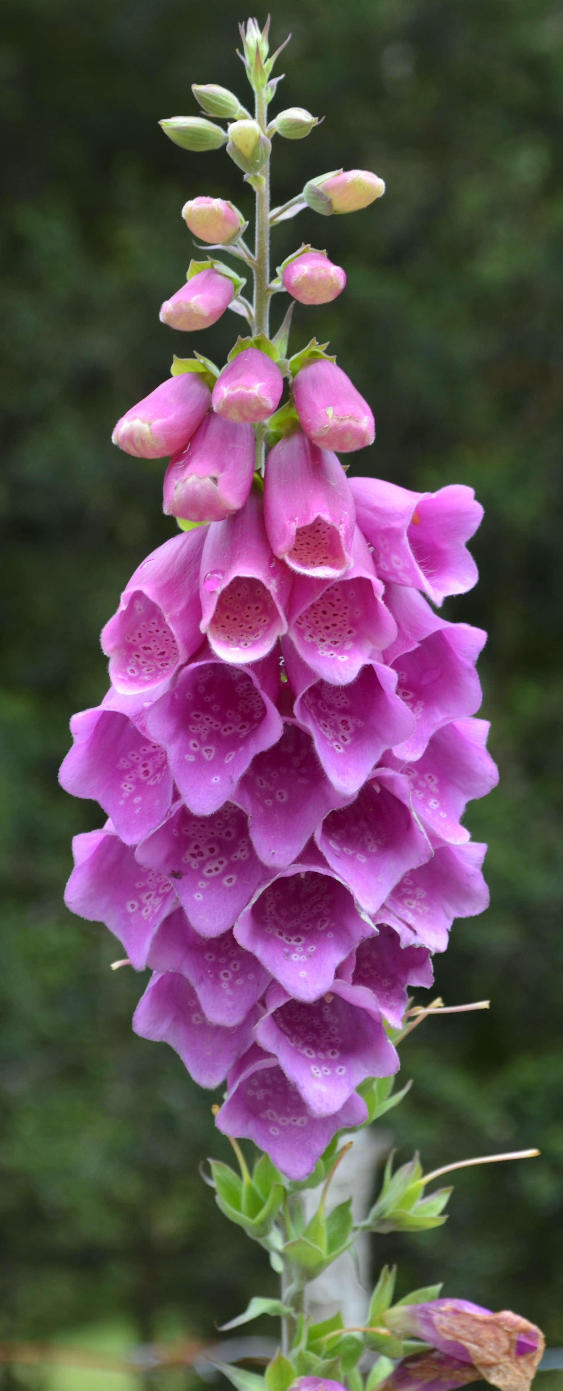
Once I got out of Puerto Montt and to the Cochamo area there were very few people and far nicer vegeation. A flower on the dirt road to the Cochamo trail head:
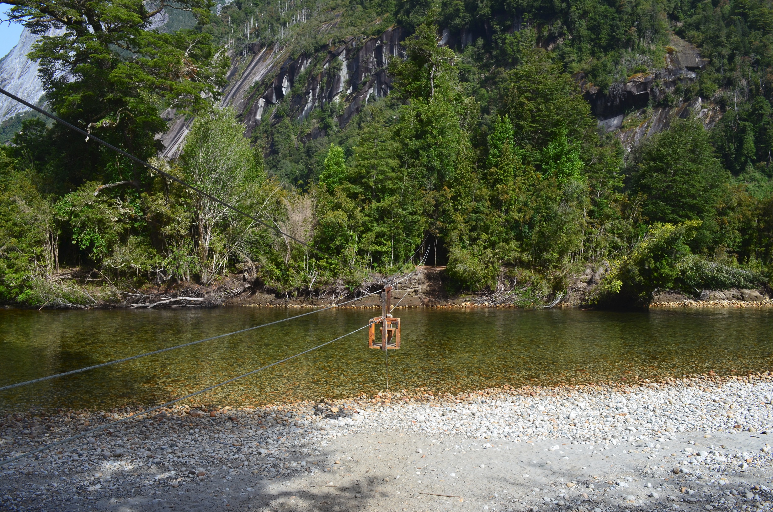
There were a large number of rivers. Some had a foot bridge and some you had to wade. Or, for the main river, there were several cable cars:
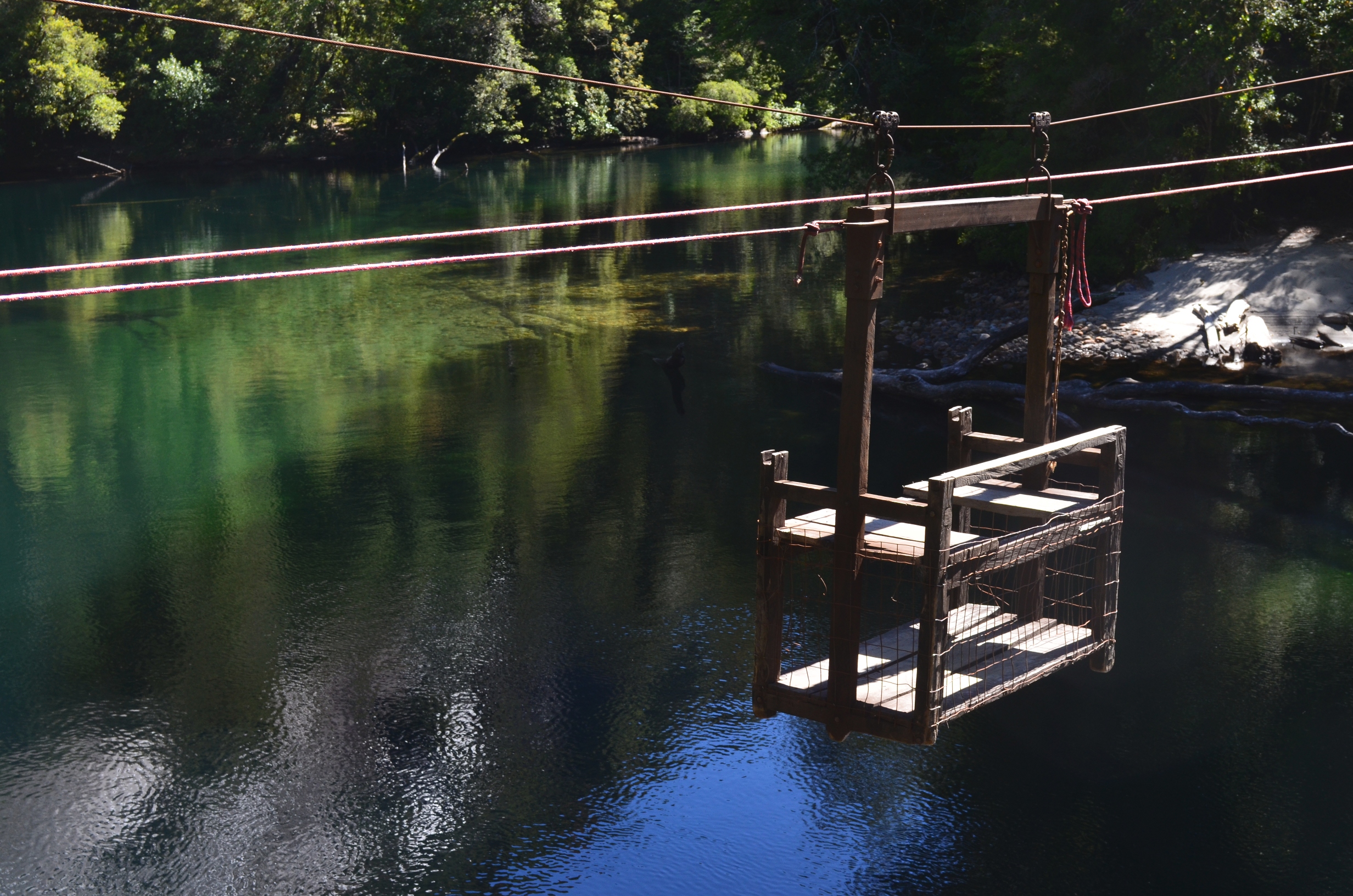
Some cable cars were slightly more scary than others:
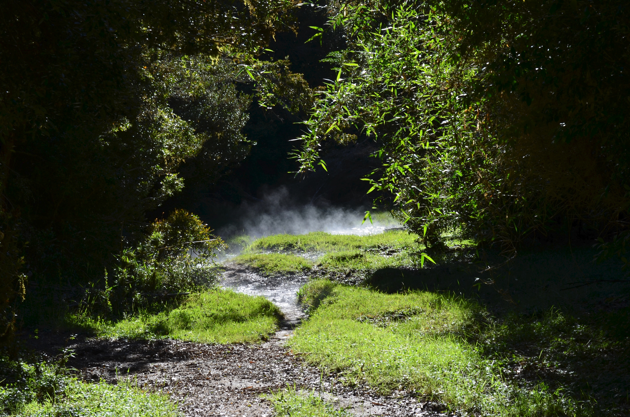
The trails vary quite a bit in condition. Unlike in the U.S., the forest service does not maintain all the trails. So sometimes they are good. But sometimes they are an evil swamp:
Other times the trails are a big pit with a mud hole at the bottom.

Sometimes you could try and hike alongside the trail, but then you ran the risk of falling into the trail...
There was even a trail side skunk:

The beautiful area made up for the trail trouble:

The camp site was quite nice, expect that it also doubled as a cow pasture for the locals. I felt that since I was paying to camp there I should at least get a cow free pasture. But the neither the cows or the local manager seemed to agree.
They don't have the same camp robbers (gray jays) that always relive you of your food in Colorado. But I did find this bird moving in:
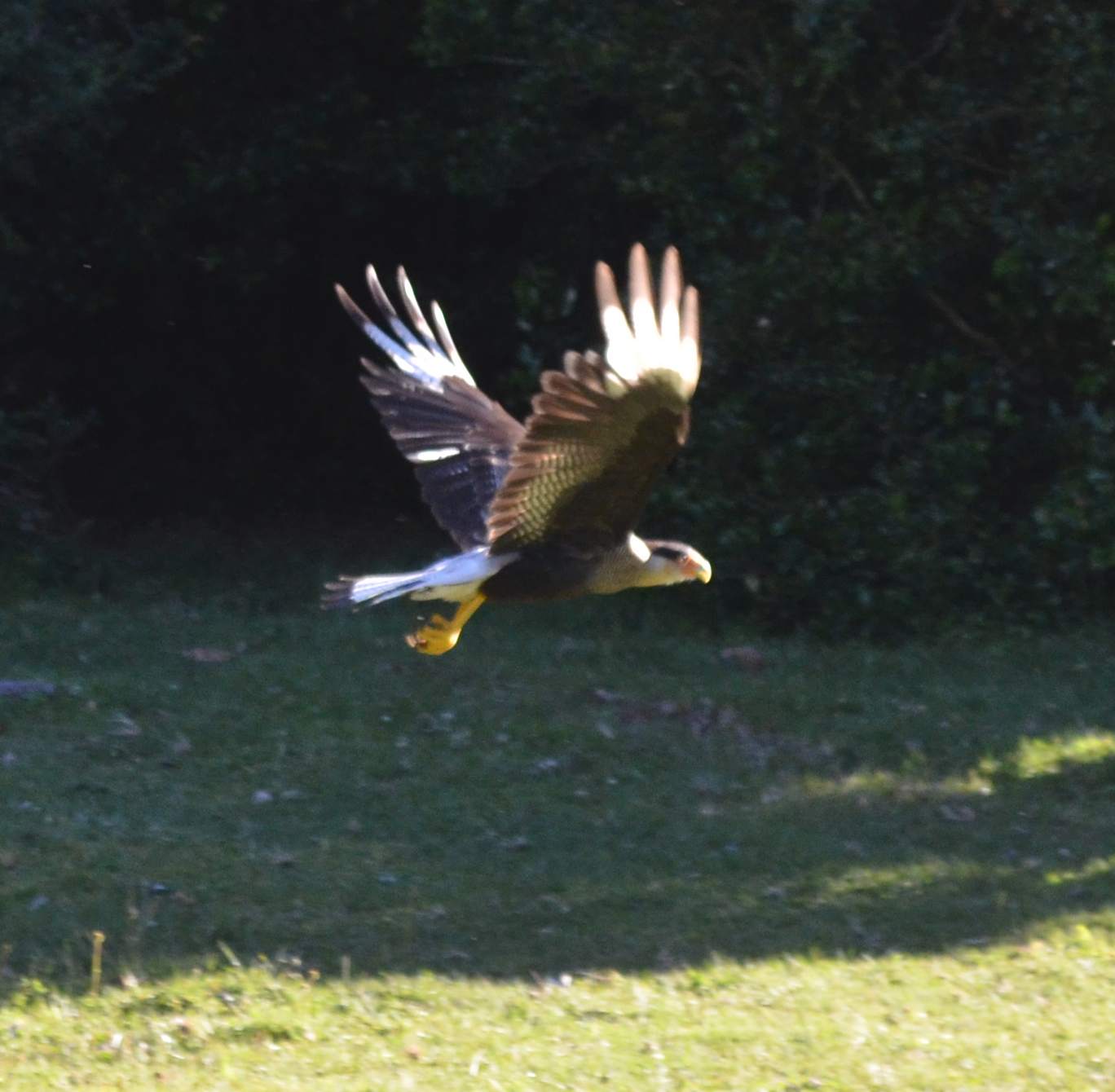
It was hard to get a good picture because the bird was rather shy.
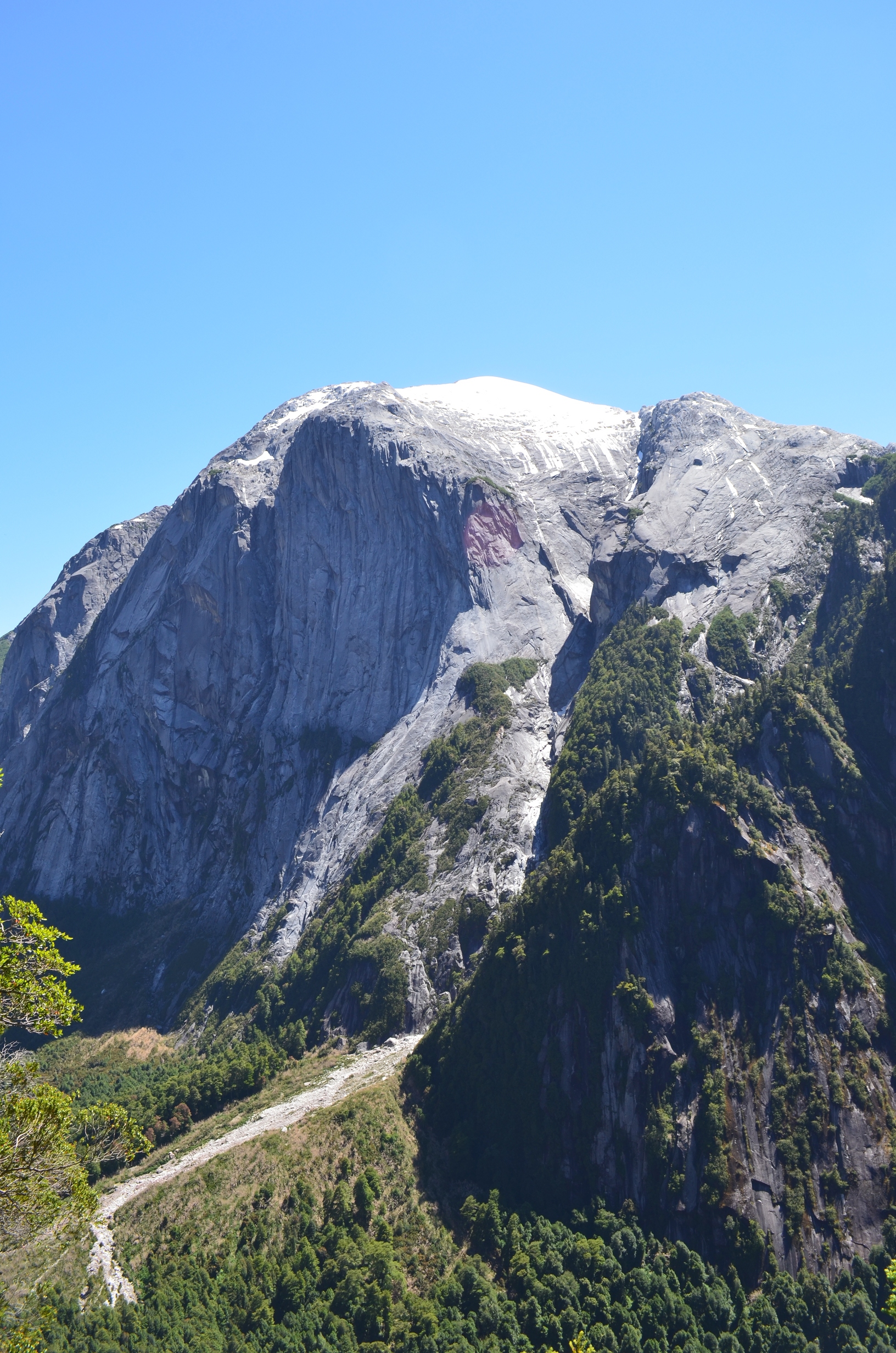
I almost climbed a nearby mountain. After climbing over 1000 vertical meters I got within 40 meters of the summit when I had to turn back. I probably could have made it. But if I slipped I never would have been able to stop - at least not before flying off a cliff.

Thankfully there were some great views even though I did not make it to the top. There was a very difficult to access lake far below:

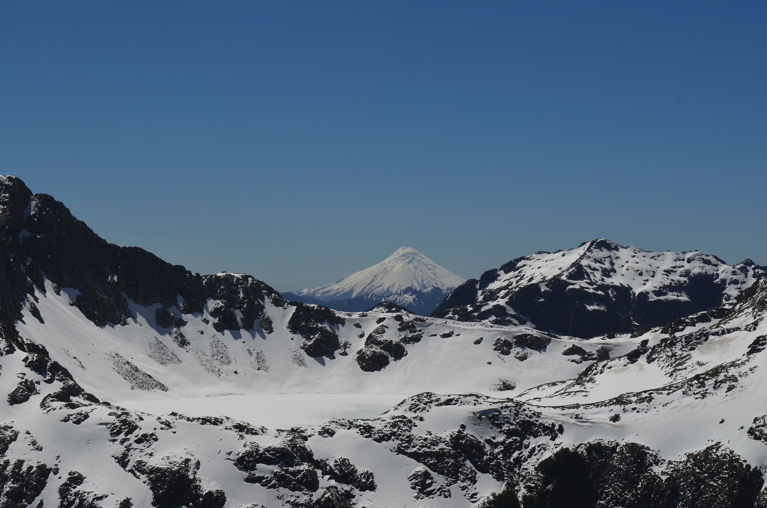
And the usual volcano peaking over the horizon:
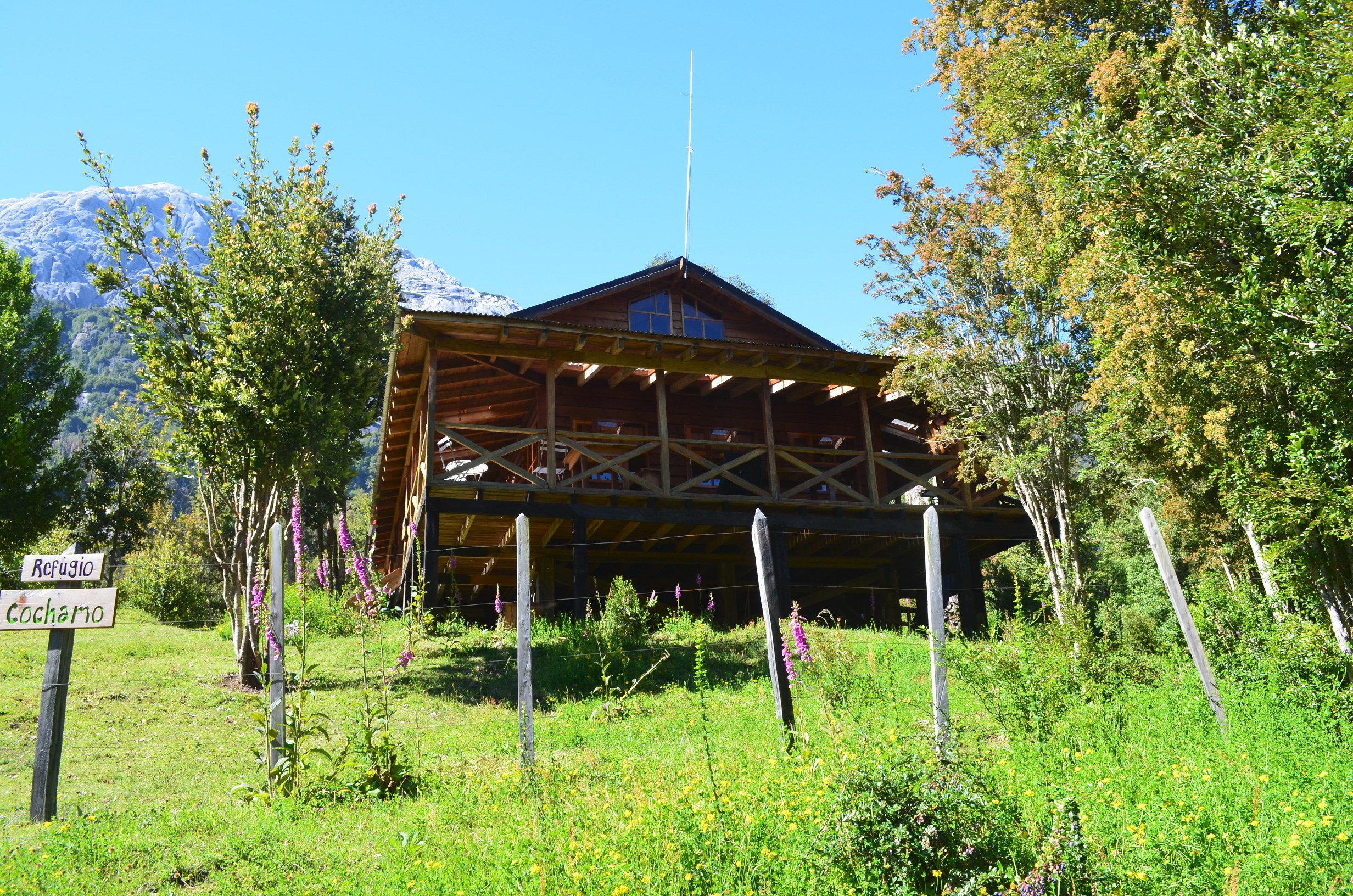
Near where I camped is a refugio. Refugios are similar to bed and breakfasts, only located well into the back country. They are normally supplied by pack horses; most of them are not anywhere near a road. I decided to save my money and just camp, though on Christmas day I did try their pizza.
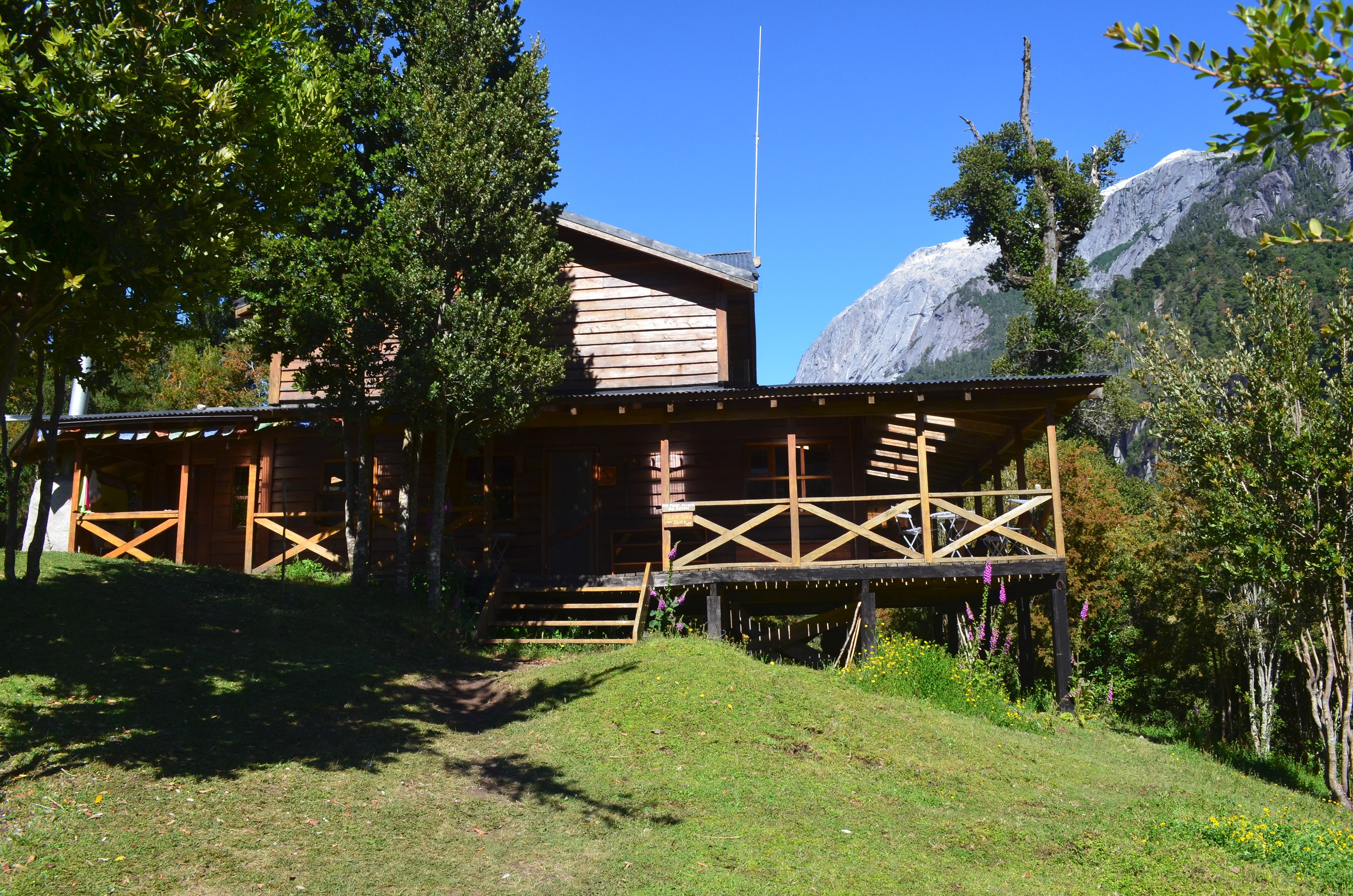
The Refugio Cohamo:
Another view:
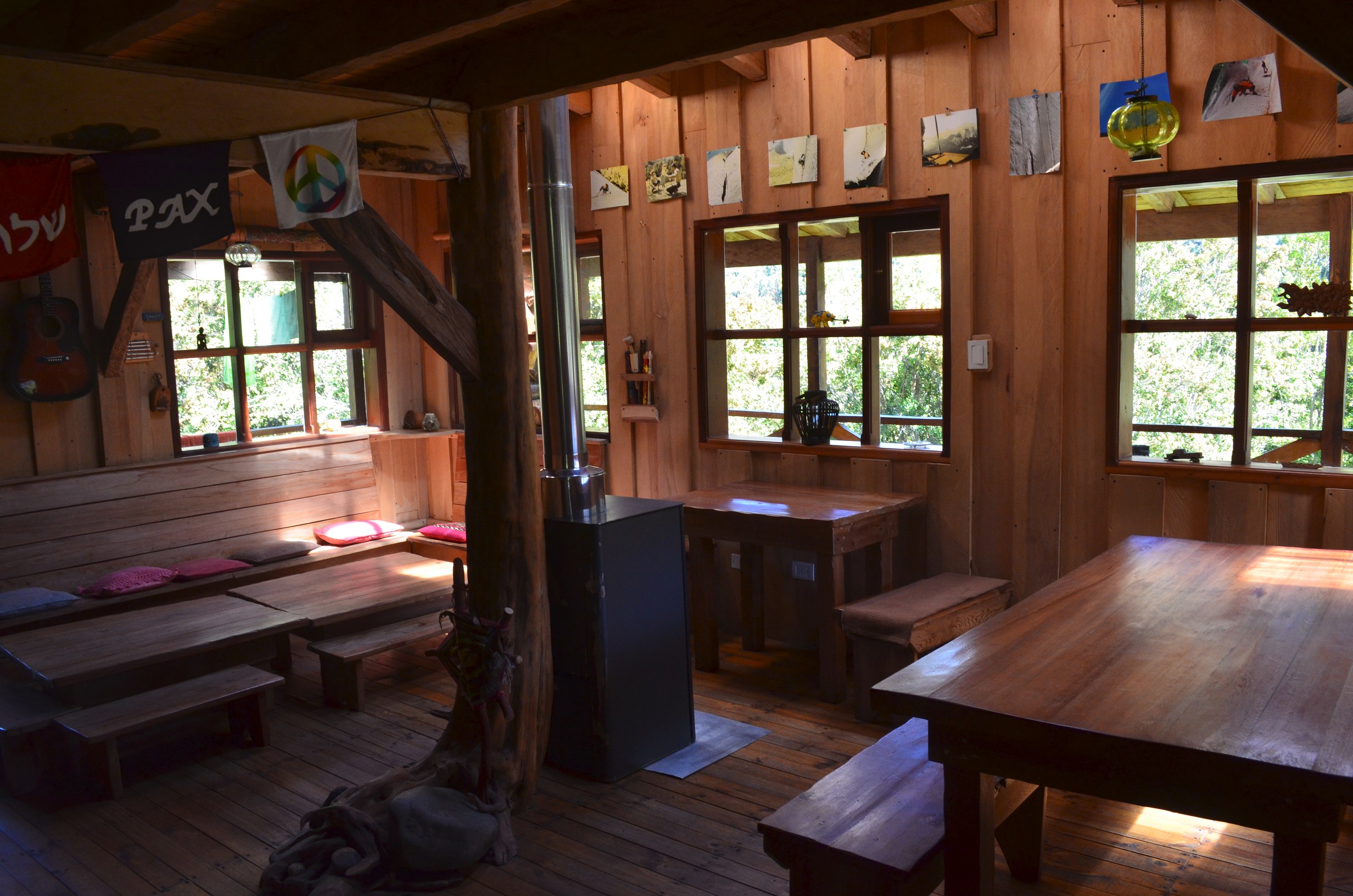
And the inside:
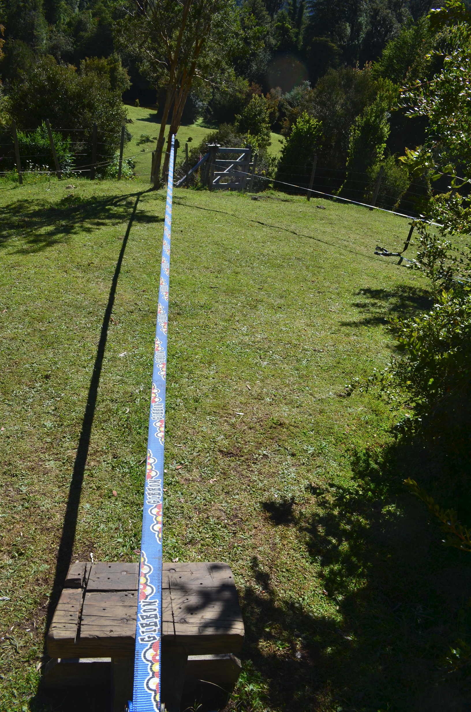
They also have a tight rope, just in case you want to do a tight rope walk after a hard day of climbing:
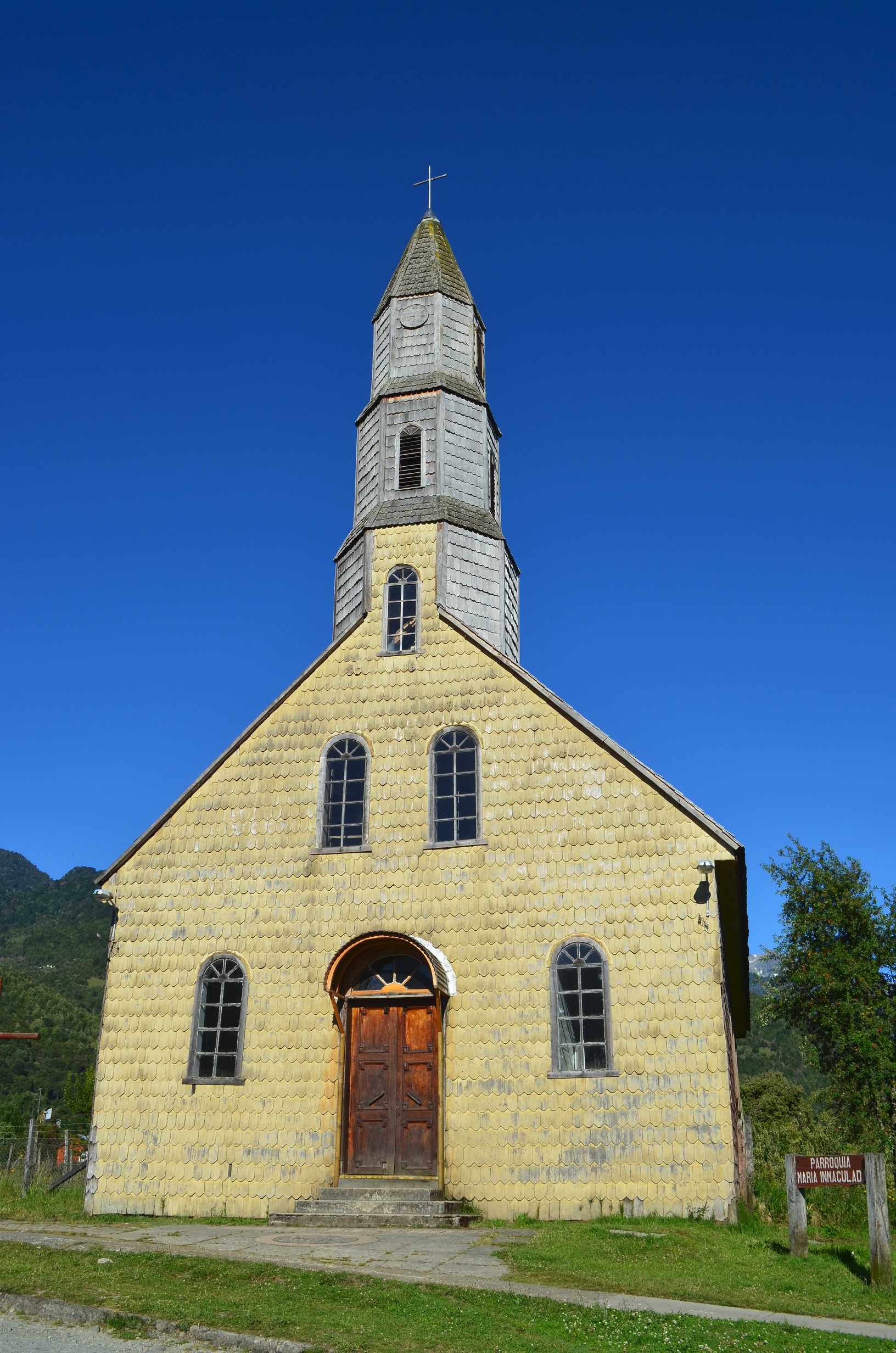
On the way back I had to spend a night in Cochamo Village to catch the bus at back at 7 in the mourning. Annoying, but at the village was also scenic. The local church was noteworthy, and far more picturesque in the photos than in person:
Cochamo is located along Chile's northern most fjord, complete with another volcano. Makes me wish I had a boat:

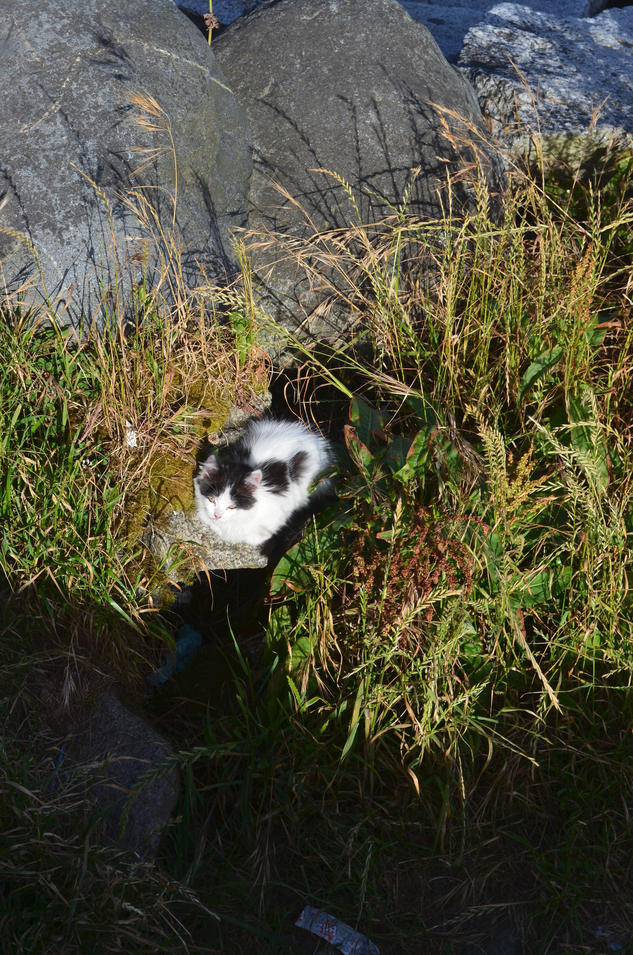
And on the way back I found a sea side cat in Puerto Montt:
In January I managed a trip down South. Not quite to the end of the world but close. I flew to Punta Arenas, the last large southern city in South America. They have a top quality sea port:
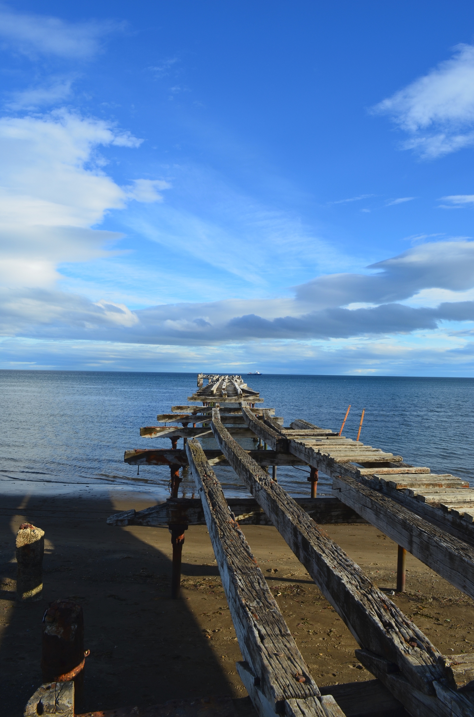
Along with some very comfortable cruse ships:
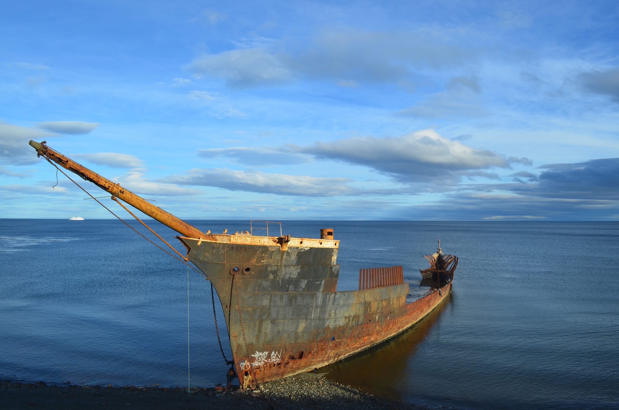
Actually, they do have both a modern port and modern ships. But those are not nearly as photogenic as the older ones.
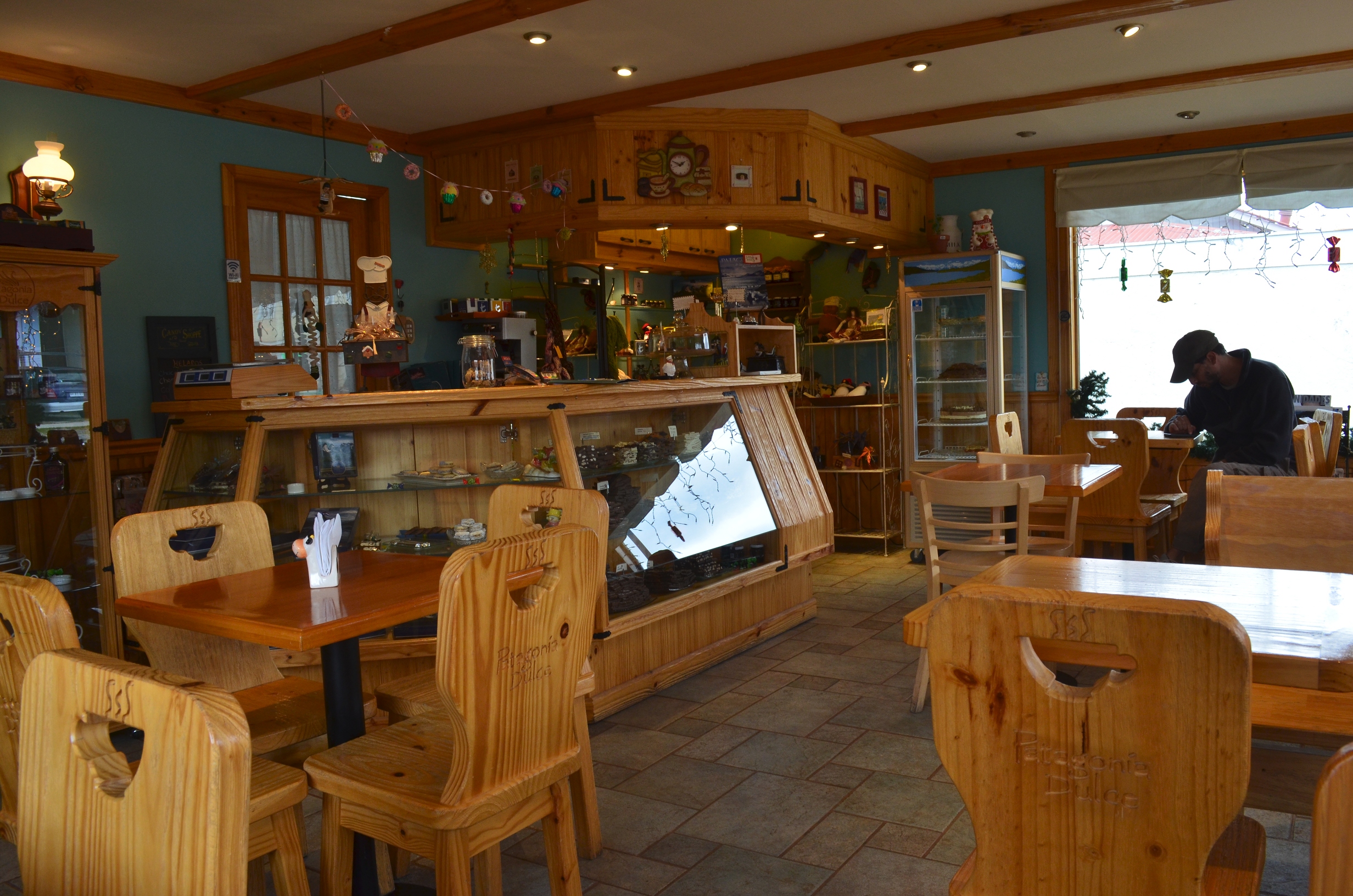
The next day I took a bus to Puerto Natales. There I finally found a good coffee shop!
After that I caught another bus to Torres del Paine National Park. Three quarters of the park was closed due to being on fire. The rest of the park was open, and actually quite nice.
Once I got to the park the main problem was crowding. The park is a popular international park, and with most of it closed the remaining area was very crowded. Even worse, most of the open camp grounds were on a section of private property within the park. They were pay camp grounds, and about the only things you paid for was the privilege of having someone there to take your money!
This was the worst of the camp sites:
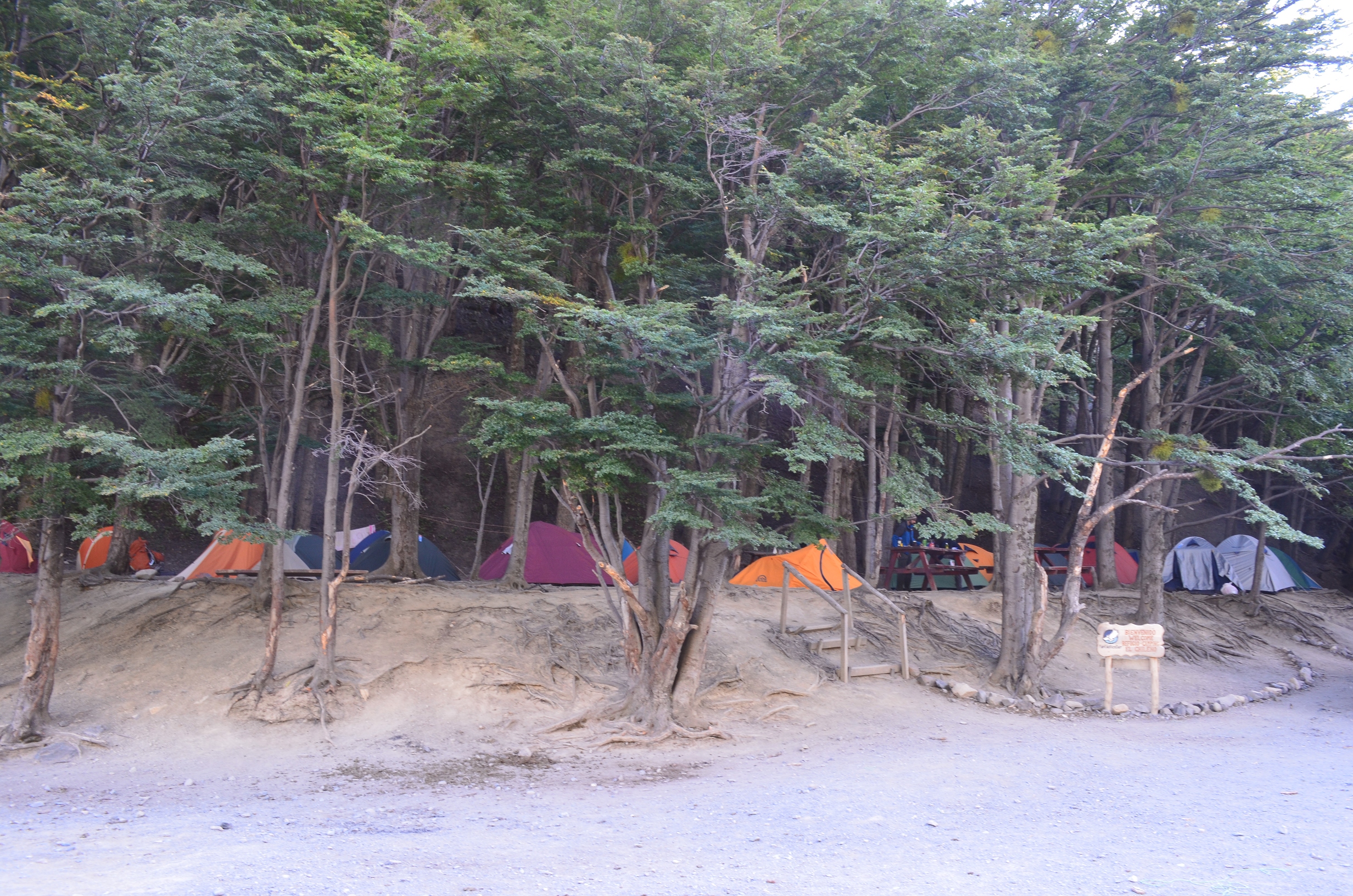
Thankfully I did not have to camp here. Another few kilometers of hiking got me out of the private property and to a far nicer and less crowded camp site.
Like most ultra popular parks, civilization has moved in. So if you need a enormous hotel they have several:
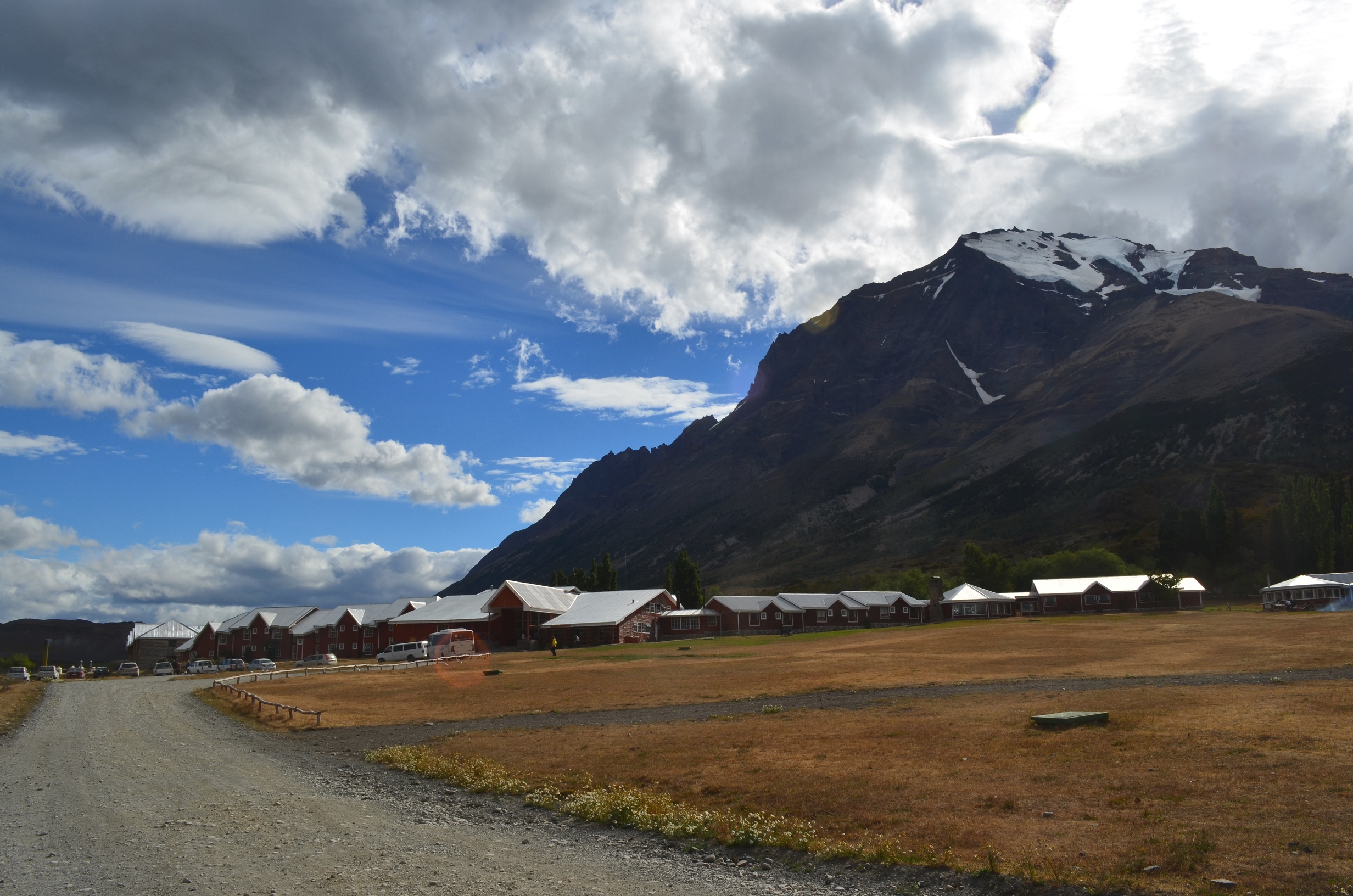
I did not bother asking the prices...
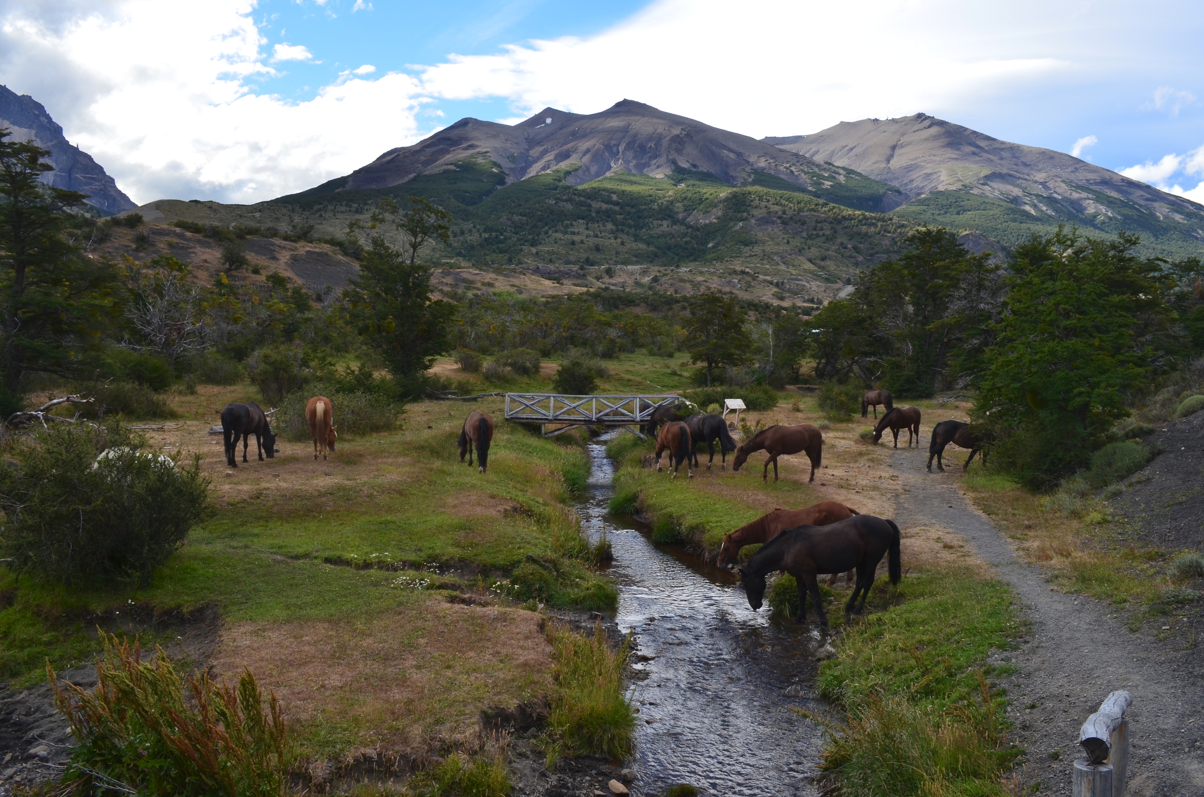
They have a fenced in area with a short nature trail. It has the usual foot bridges and labeled plants. They also added a heard of horses, no doubt for the wonderful fragrance they add to hiking trails:
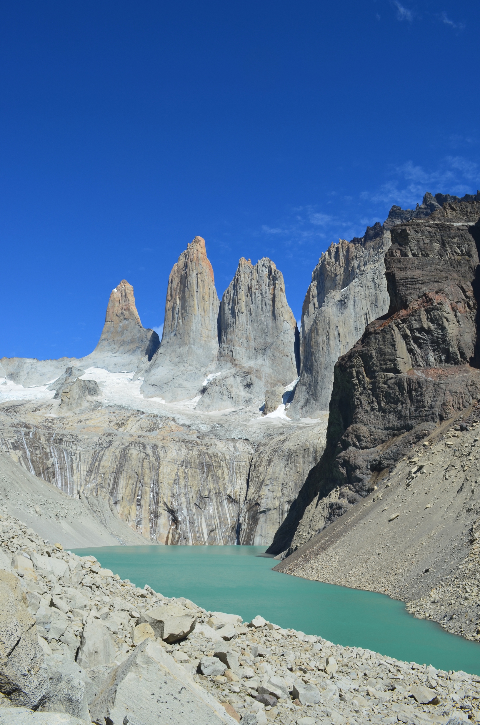
The area gets a lot nicer once you backpack away from the main area. After a long hike and climb you can get a great view of the towering peaks for which the park is named:
Another nice part of the park is Valle Frances. It is quite a ways in, so I backpacked in a day and day hiked from there. It is a good hike into the central part of the mountains. There were intimidating mountains in all directions except the mouth of the valley.
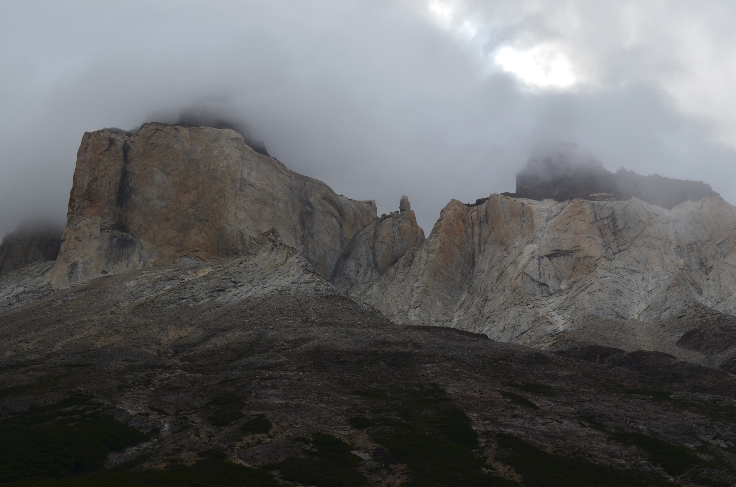
At one side of the valley was a glacier topped mountain:

Every half hour or so a giant chunk of the glacier would give off the mountain, making a huge crash as it smashed on the rocks below.
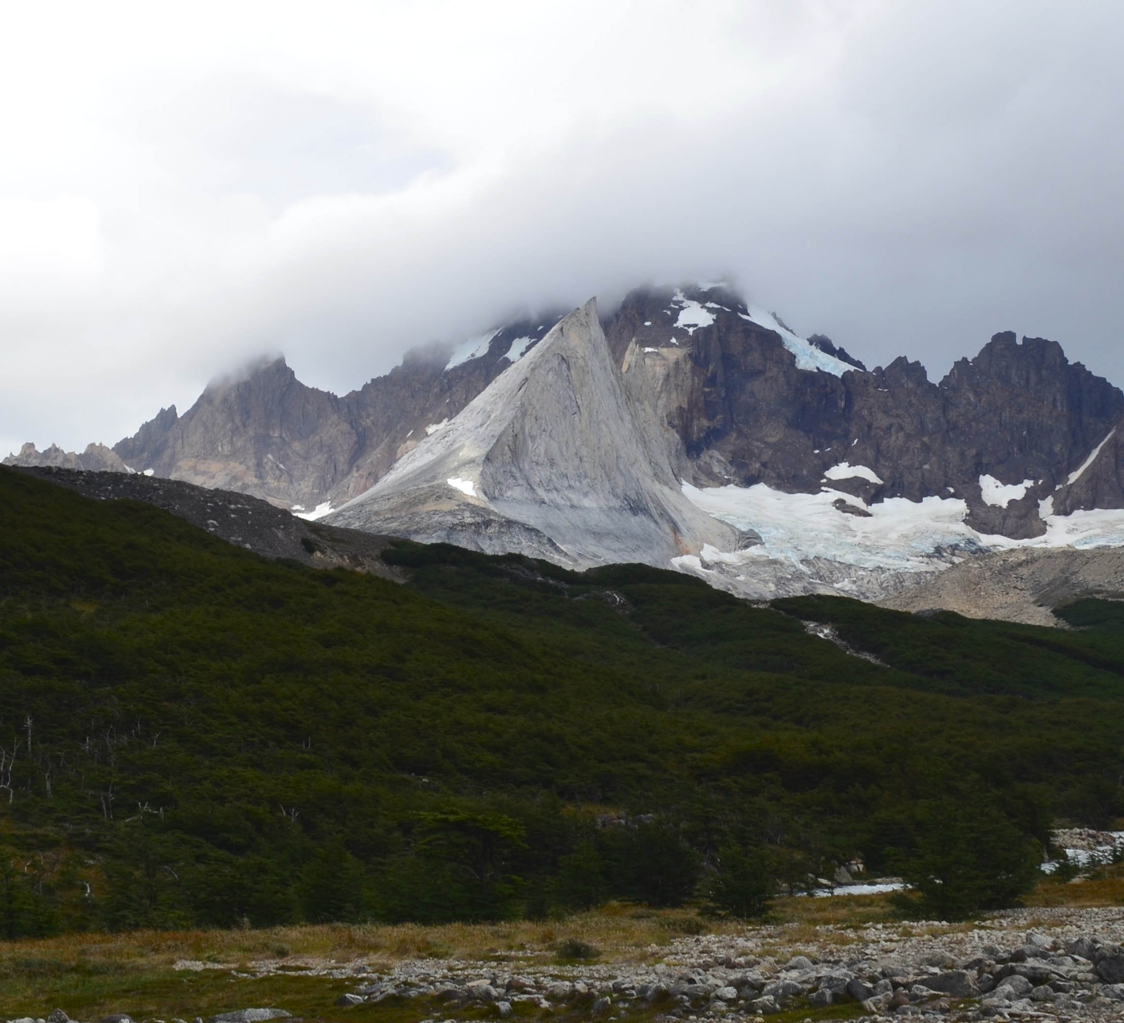
At the head of the valley was Aleta de Tiburon, clearly a peak of pointyness:
The mouth of the valley overlooked Lake Nordenskjold.

Another view of Lake Nordenskjold, along with some distant mountains:

And on the way out I stopped at a very scenic but rather scary bridge:
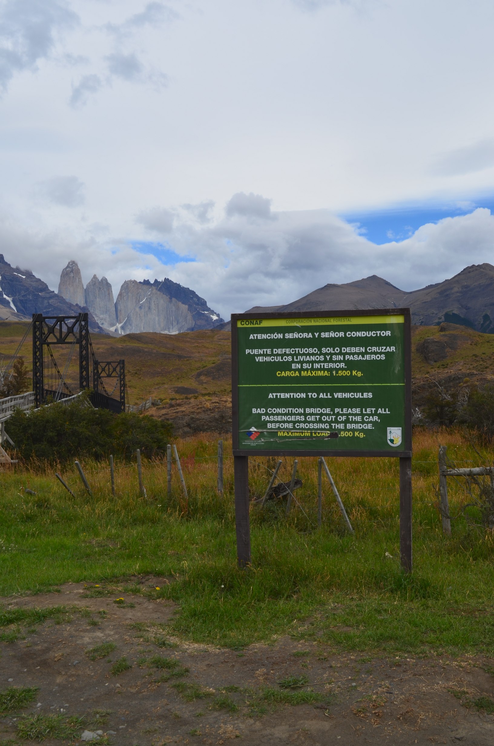
Thankfully the government took this bridge problem seriously. They brought in one of those instant port-a-bridges as a replacement - it is to the side of this one.
Over all the trip was quite nice. But after getting back I had to rush back to work.