July 24th: Backpacking in
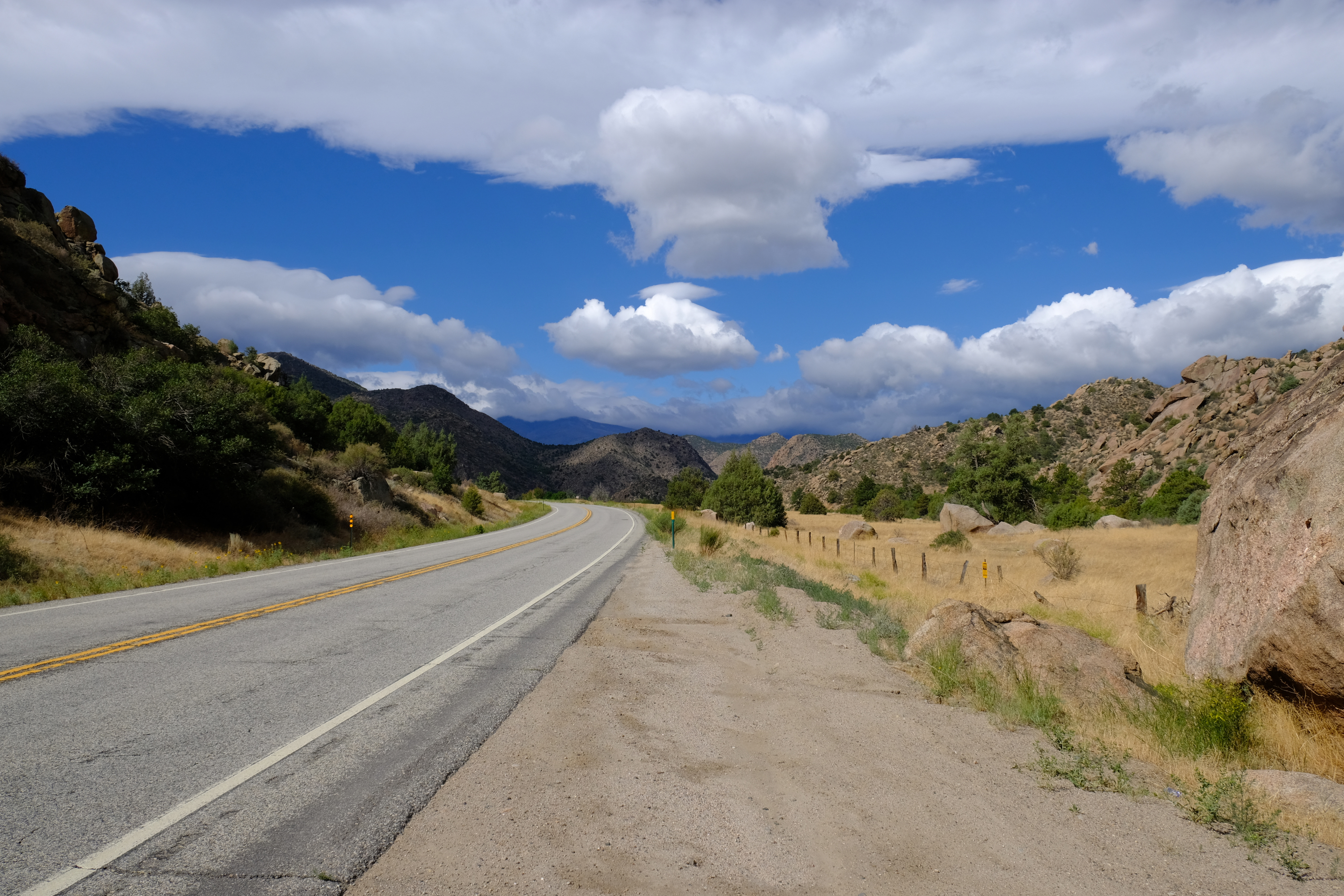
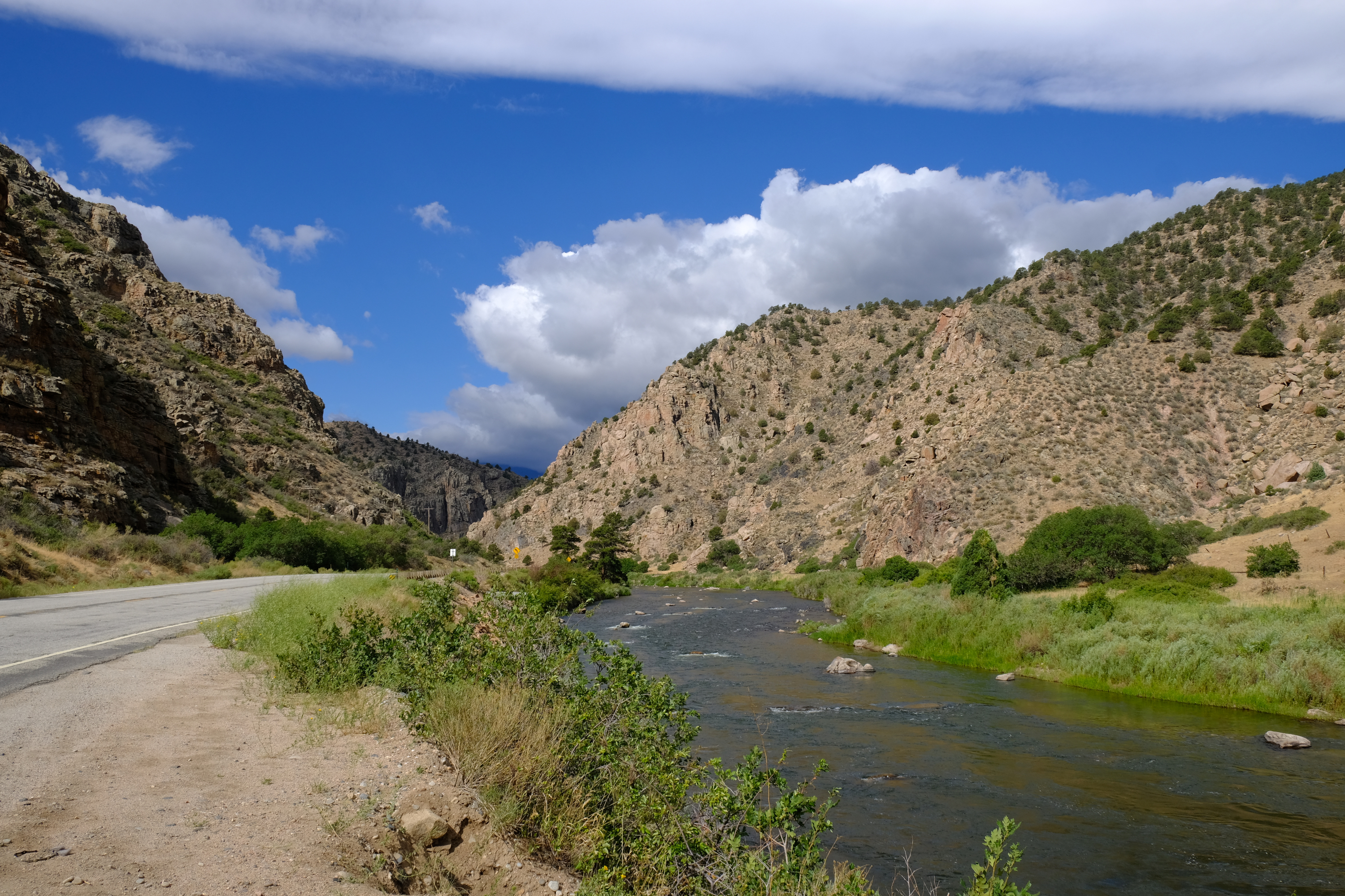
The trip started with the drive up from Pueblo, past Cañyon City, and through the Arkansas River Canyon.
In July 2020 not only did I get things together for a 4 day backpack to climb some fourteeners, but I also took photos for another post on Dragonsdawn.org! I don't take pictures of nearly every trip that I do, nor do I post nearly every trip for which I take pictures. Oh, and a fourteener is a peak with an elevation of at least 14,000ft but less than 15,000ft. Yea, I know, the U.S. really should switch to metric.
The goal for this trip was the fourteeners surrounding Pine Creek: Oxford, Belford, Missouri Mountain, and Harvard. Yes, I have climbed them all before, even if so long ago that I barely remember it. No, I was not sure if I would manage all of them on this trip or not. Friday morning I packed up and headed up the Arkansas river.
The trip started with the drive up from Pueblo, past Cañyon City, and through the Arkansas River Canyon.
The Arkansas River Canyon is a nice, if excessively curvy, drive and the river popular with rafters.
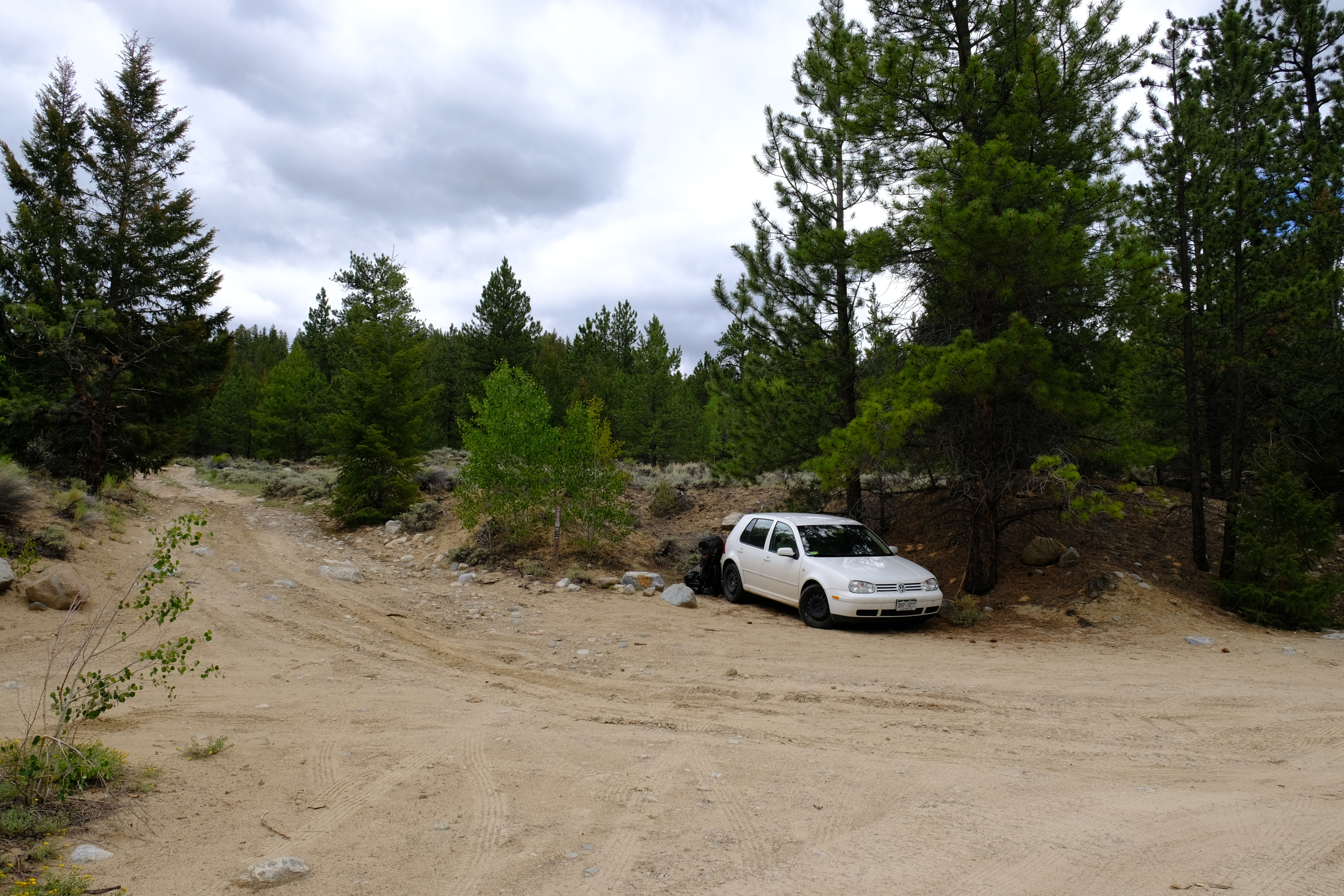
Parking was easy near the trail head. The VW won't easily make it all the way, but close enough. The jeep would have cut less than 1/4 mile off of the backpack; just not worth it. Once I started hiking there was a $1 fee for crossing private property. Well, at least they didn't close the trail.
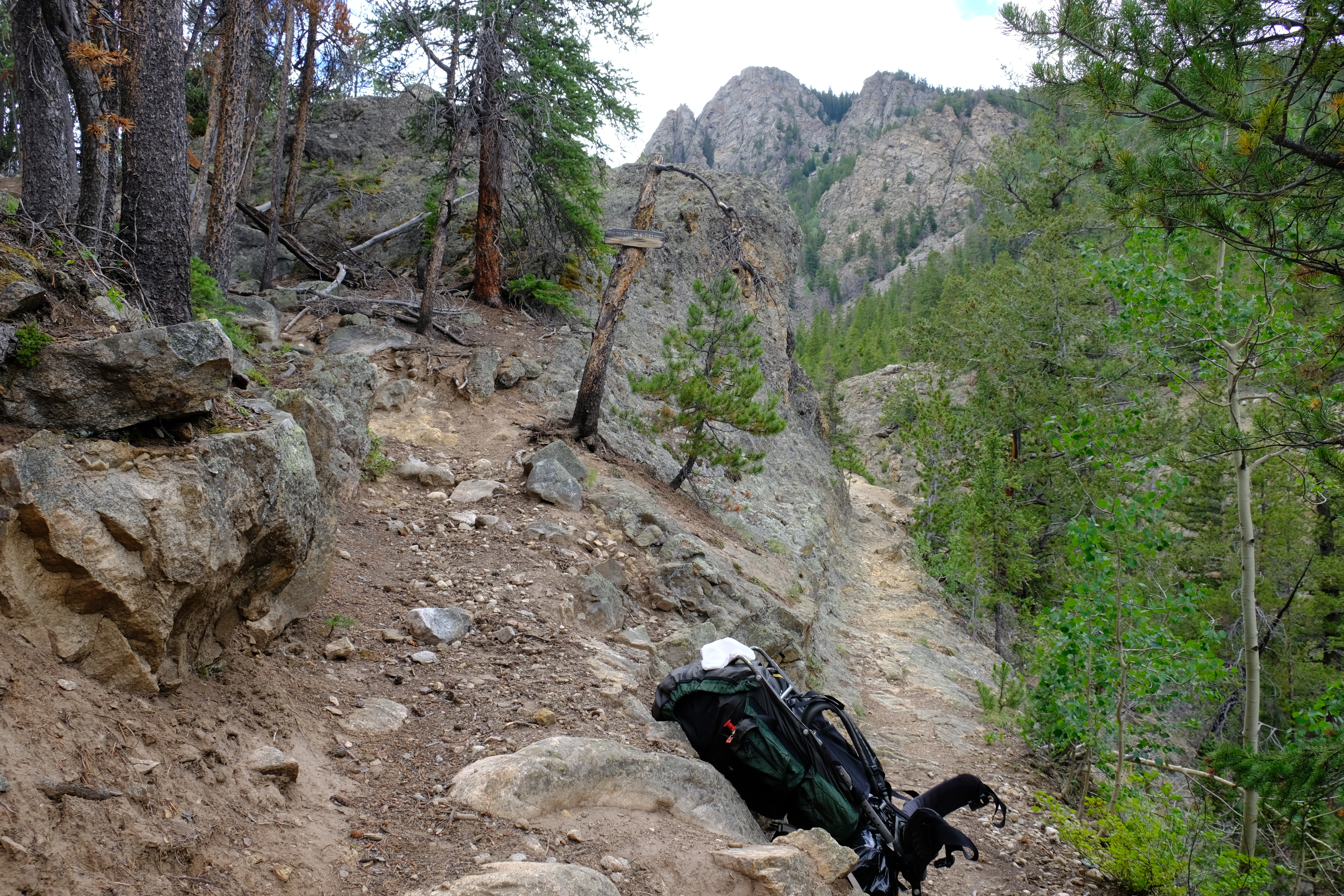
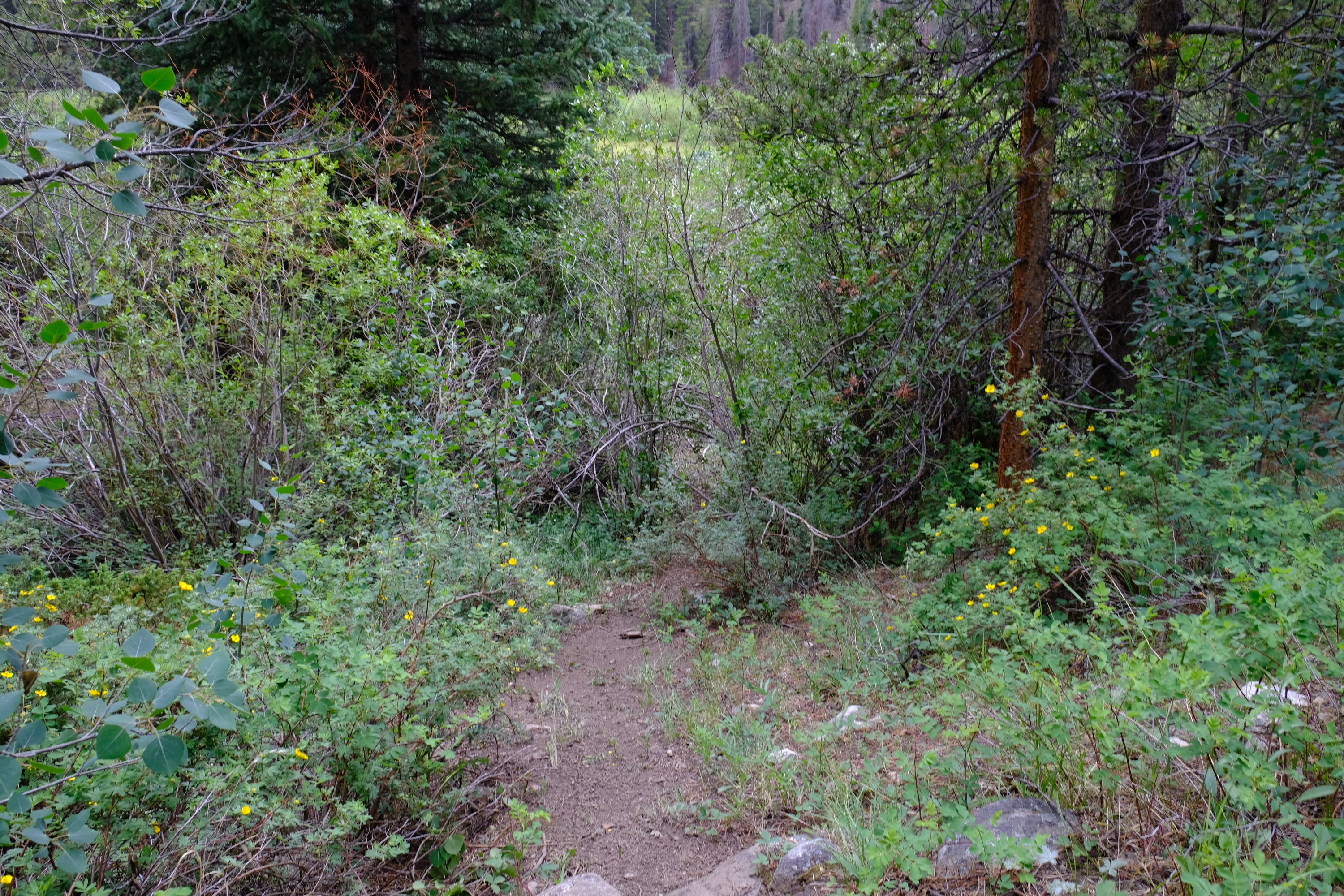
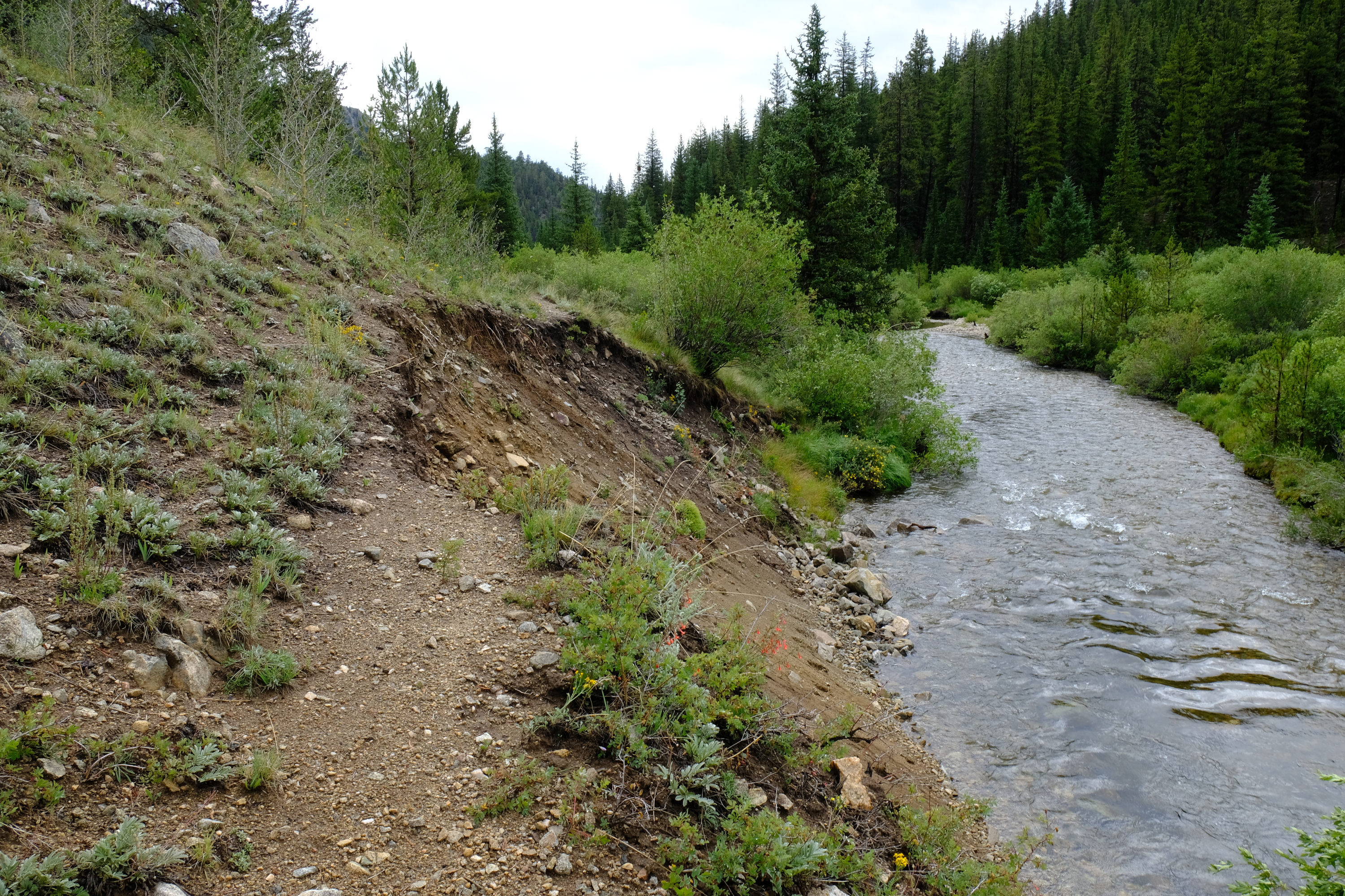
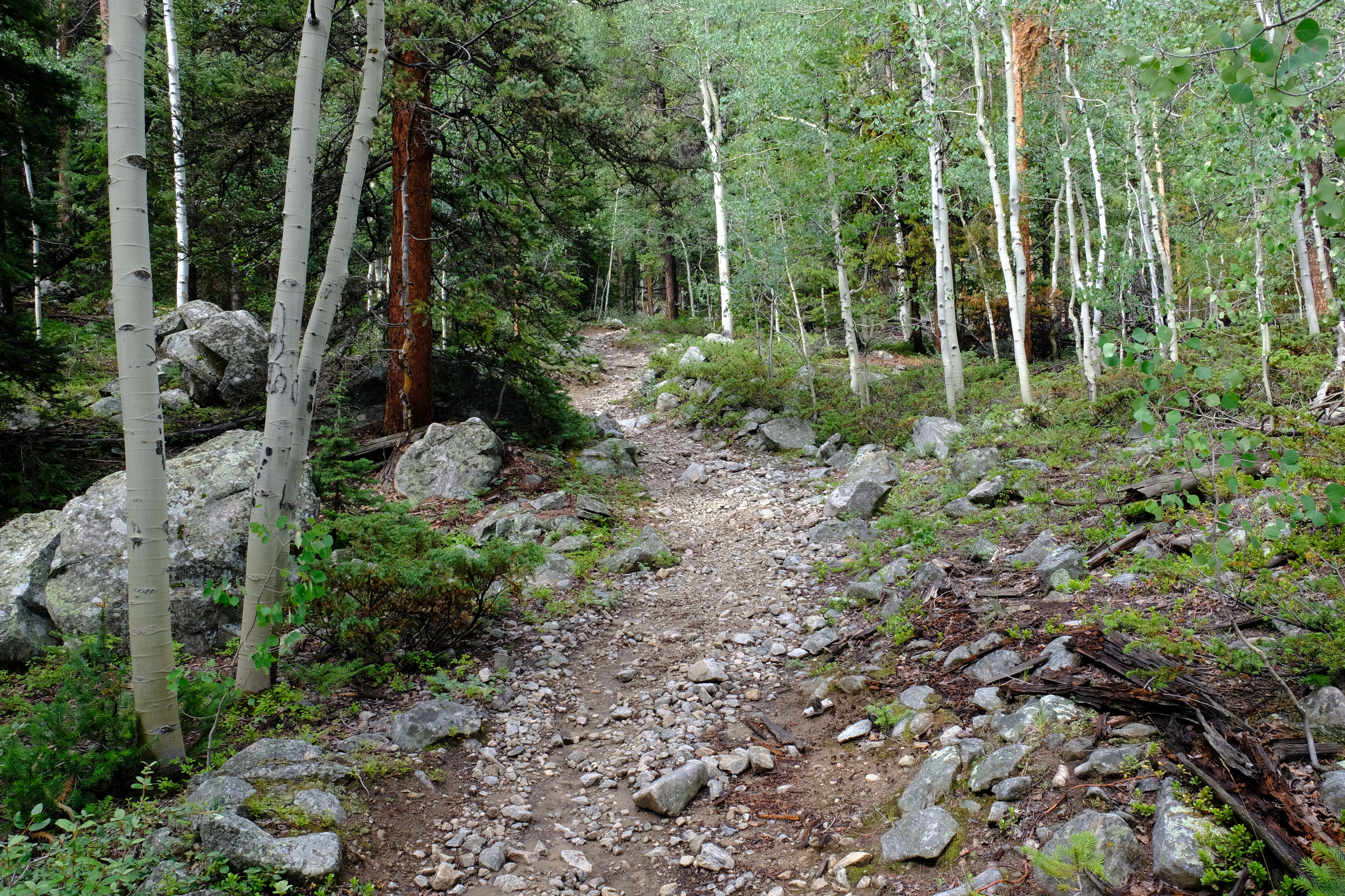
The backpack in was along a typical rocky Colorado mountain trail.

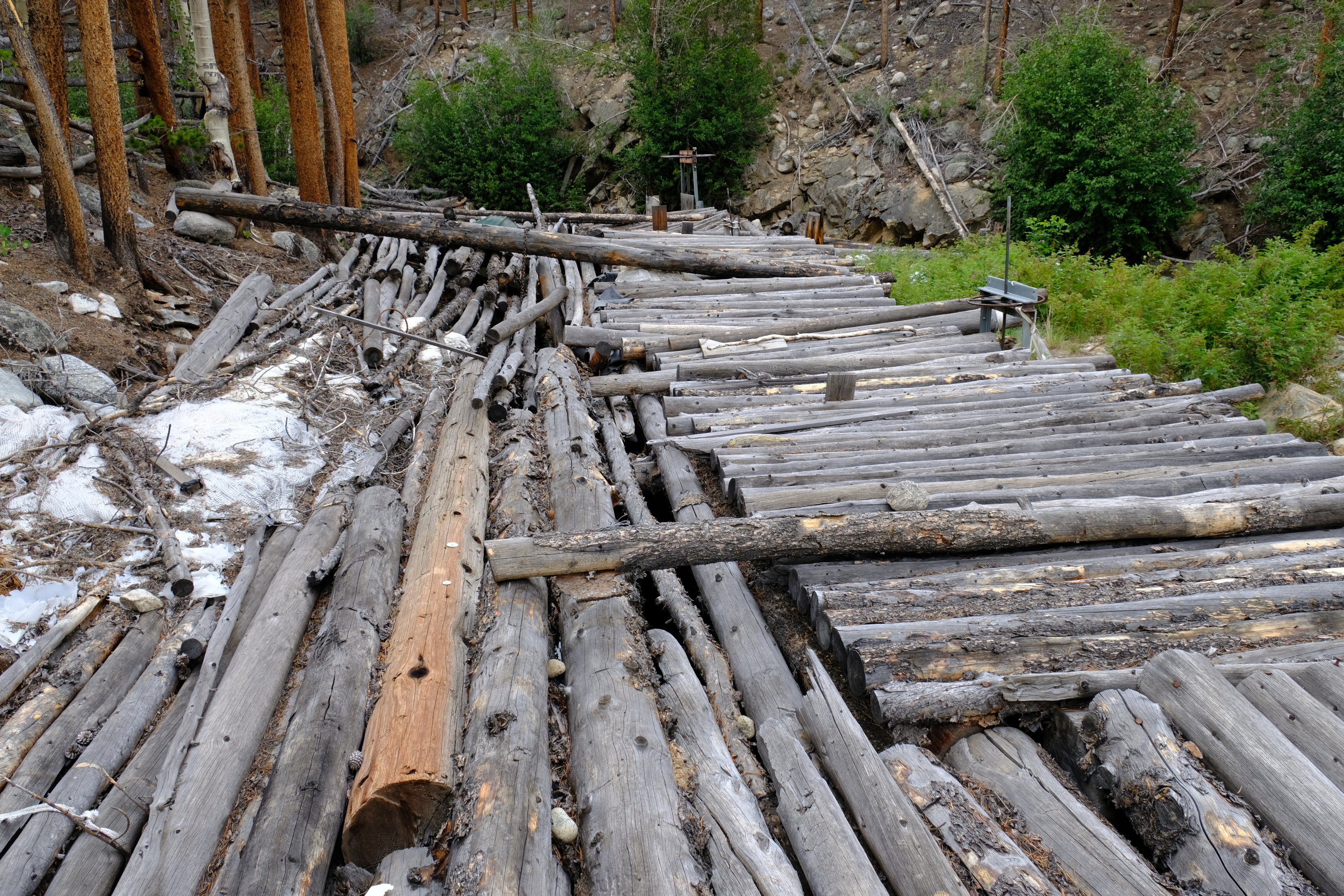
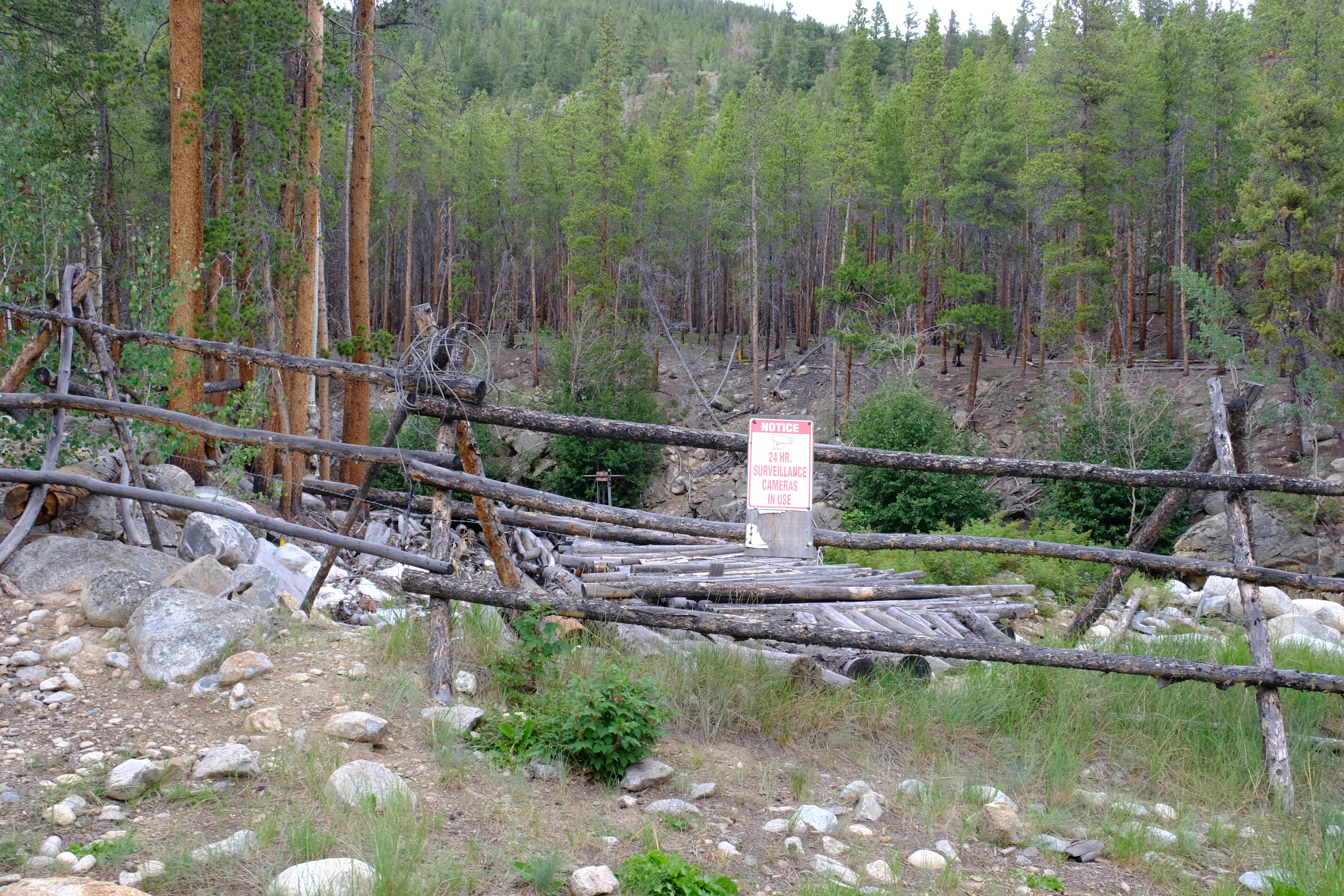
A couple miles in somebody had built some sort of waterworks. At a glance it looks like a diversion structure, but the apparent ditch/pipeline route from there goes uphill. Maybe it is the outlet for a diversion?
Whoever it was put up 24hr-surveillance signs. I responded by taking a picture of the one of the signs and posting it on the internet.
Further up the trail is cut into a rock face and snakes above a gorge. Sadly it was a short stretch that doesn't get any more exciting than what you see here.
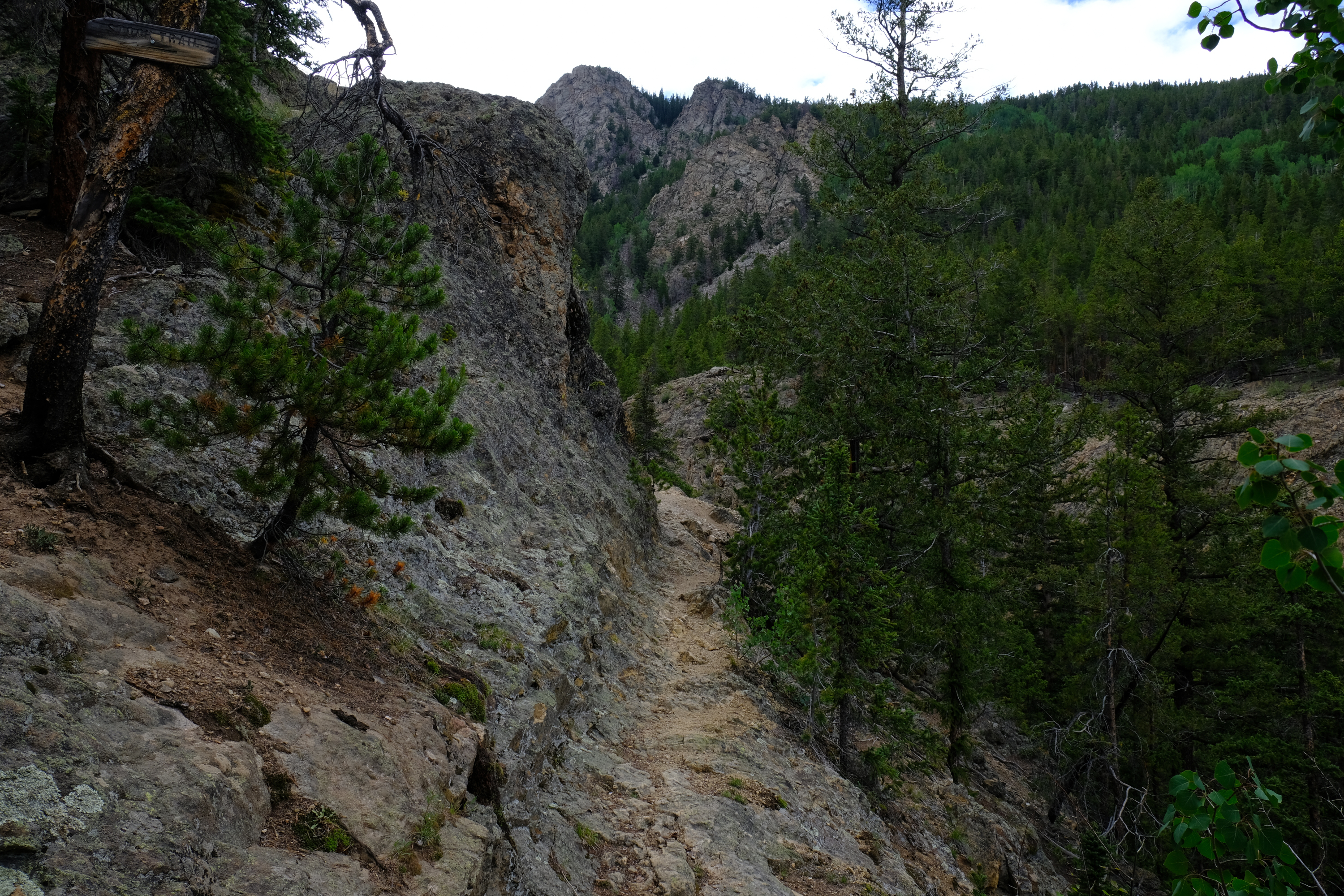
There was a bypass trail around this spot for those that don't like excitement. And for horses.
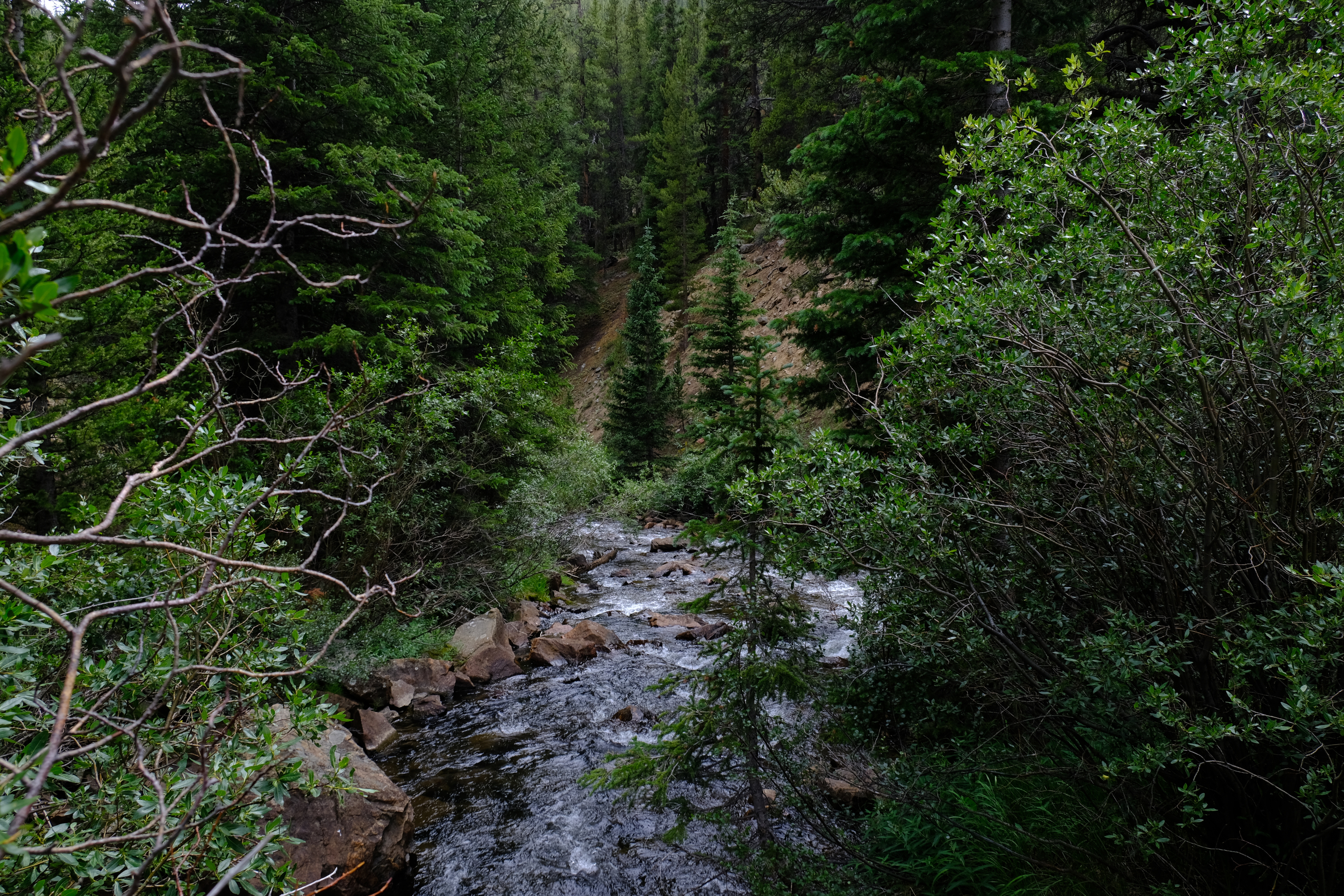
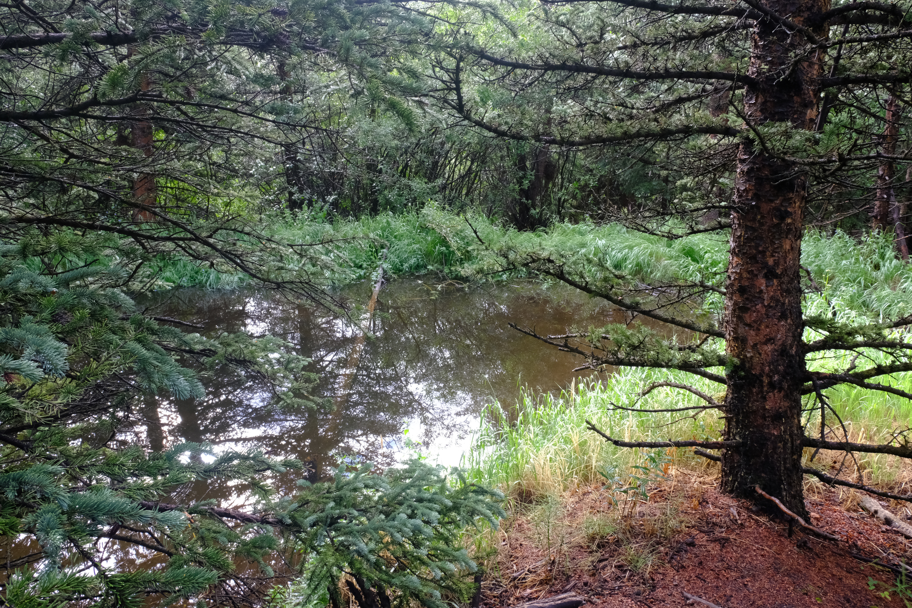
Finally a picture of Pine Creek!
A beaver trail. The beavers seem to do well in Pine Creek, and they make trails when they drag logs back to their dams. I wonder how many hikers think they are hiking trails and try follwoing them into the woods or creek.
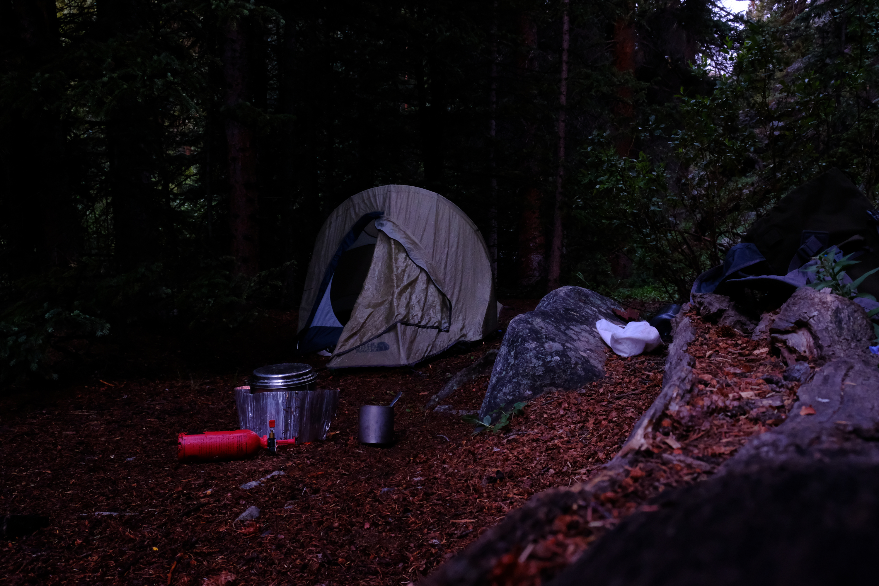
I found a nice spot to camp up below Mt. Oxford. Elevation apx 10,500ft.
The following morning I got started a bit after 6am. It would have been better to get started at 5am, or before, due to the danger of afternoon thundershowers.
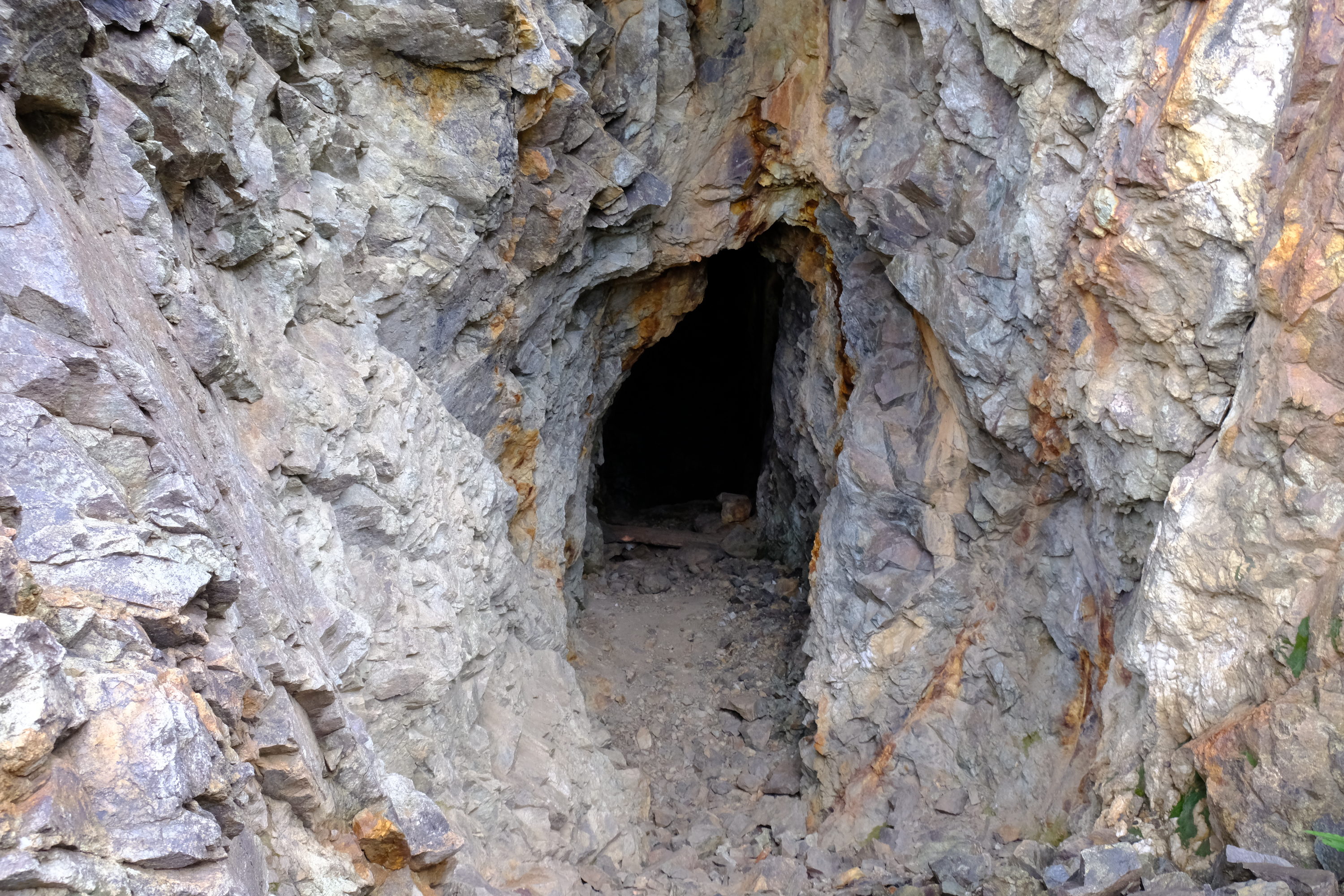
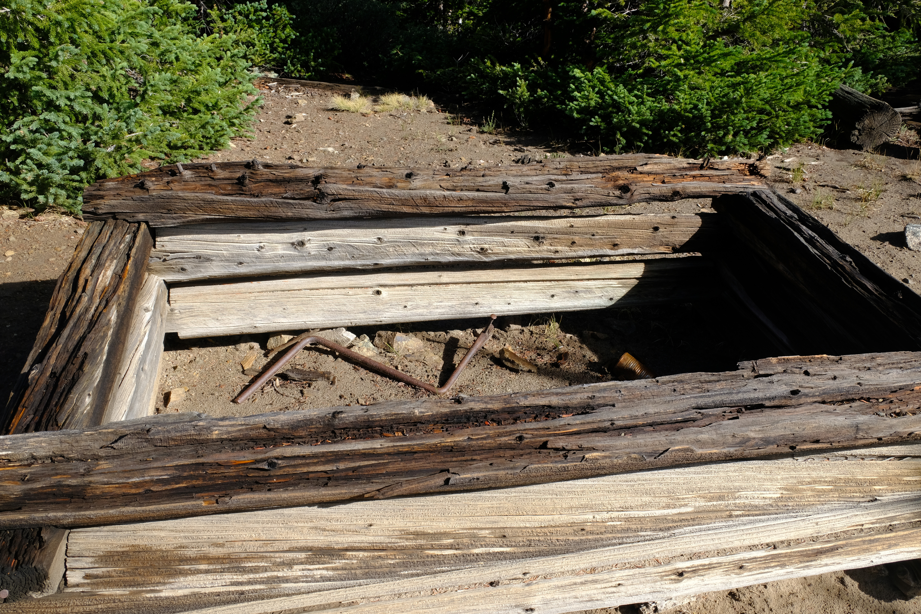
I hiked up a hard to find trail that heads up the east side of Mt. Oxford to an old prospect. The spoils pile from the prospect is seen on the left side of this picture.
The prospect was deeper than I expected. There appeared to be a short vertical shaft inside, but I didn't investigate. Many experienced cavers will tell you not to go inside abandoned mines because it is too dangerous. Most of them are hypocrites, having gone in some abandoned mines themselves. They also know what they are talking about. Don't go in old abandoned mines. They are too dangerous.
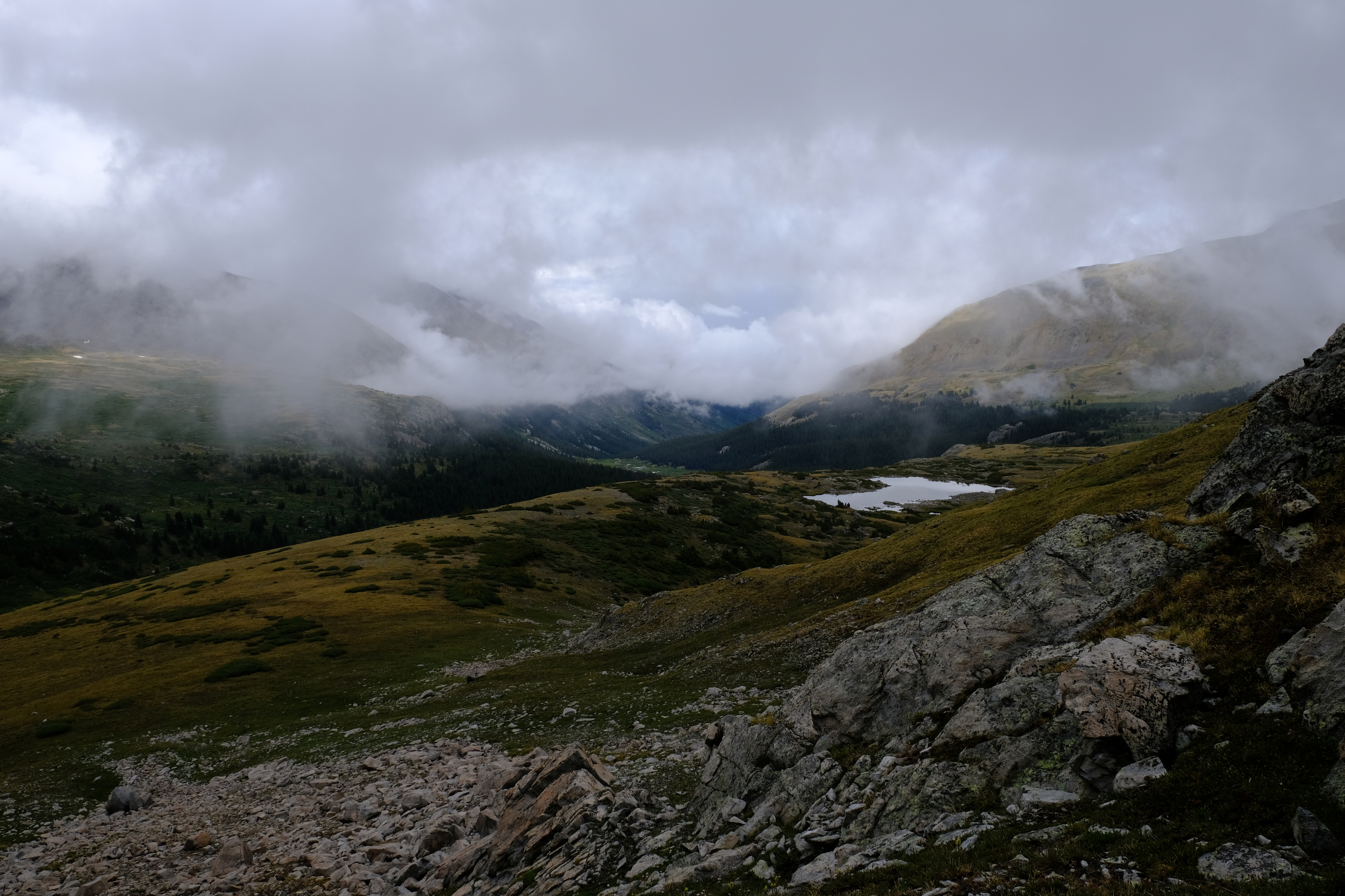
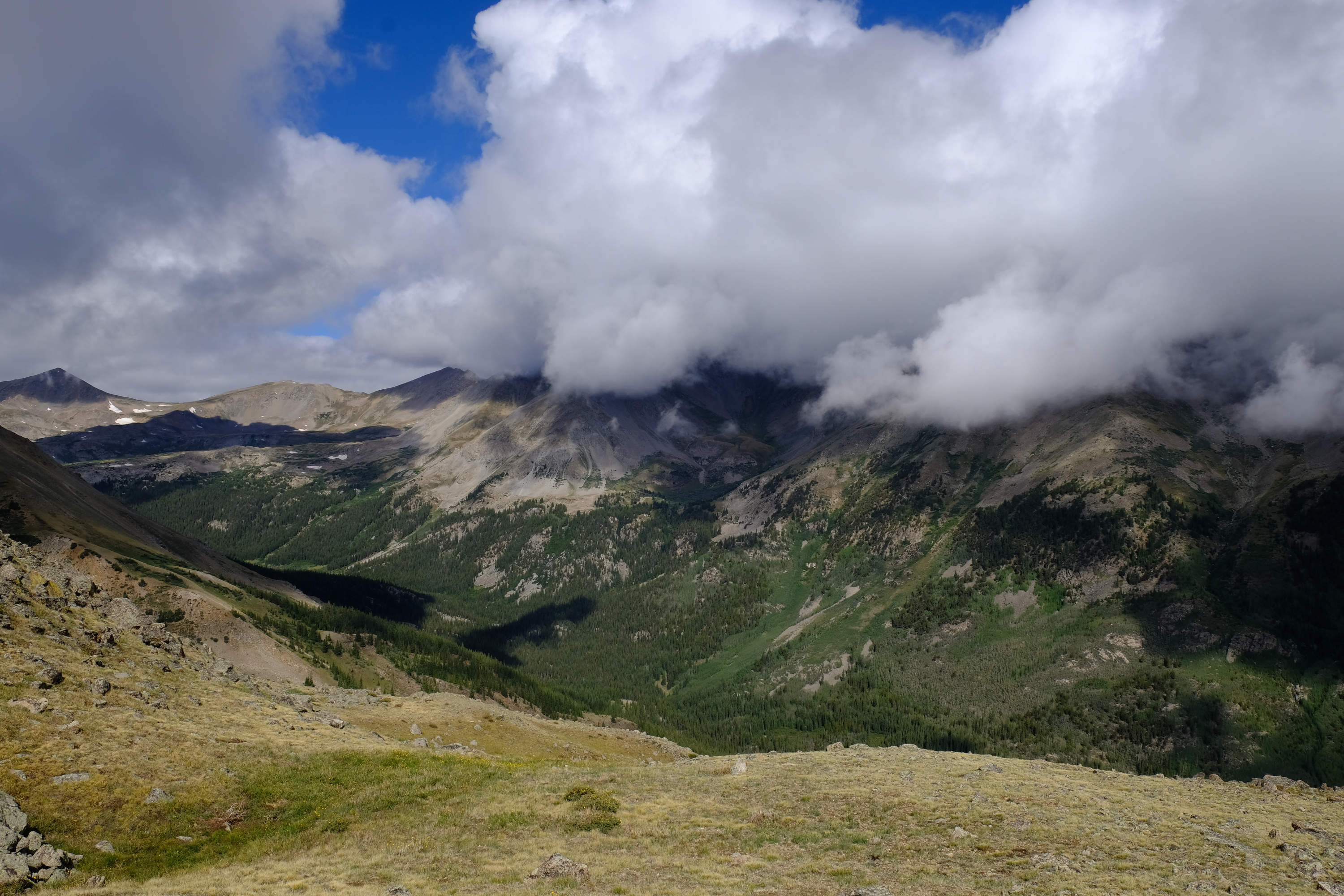
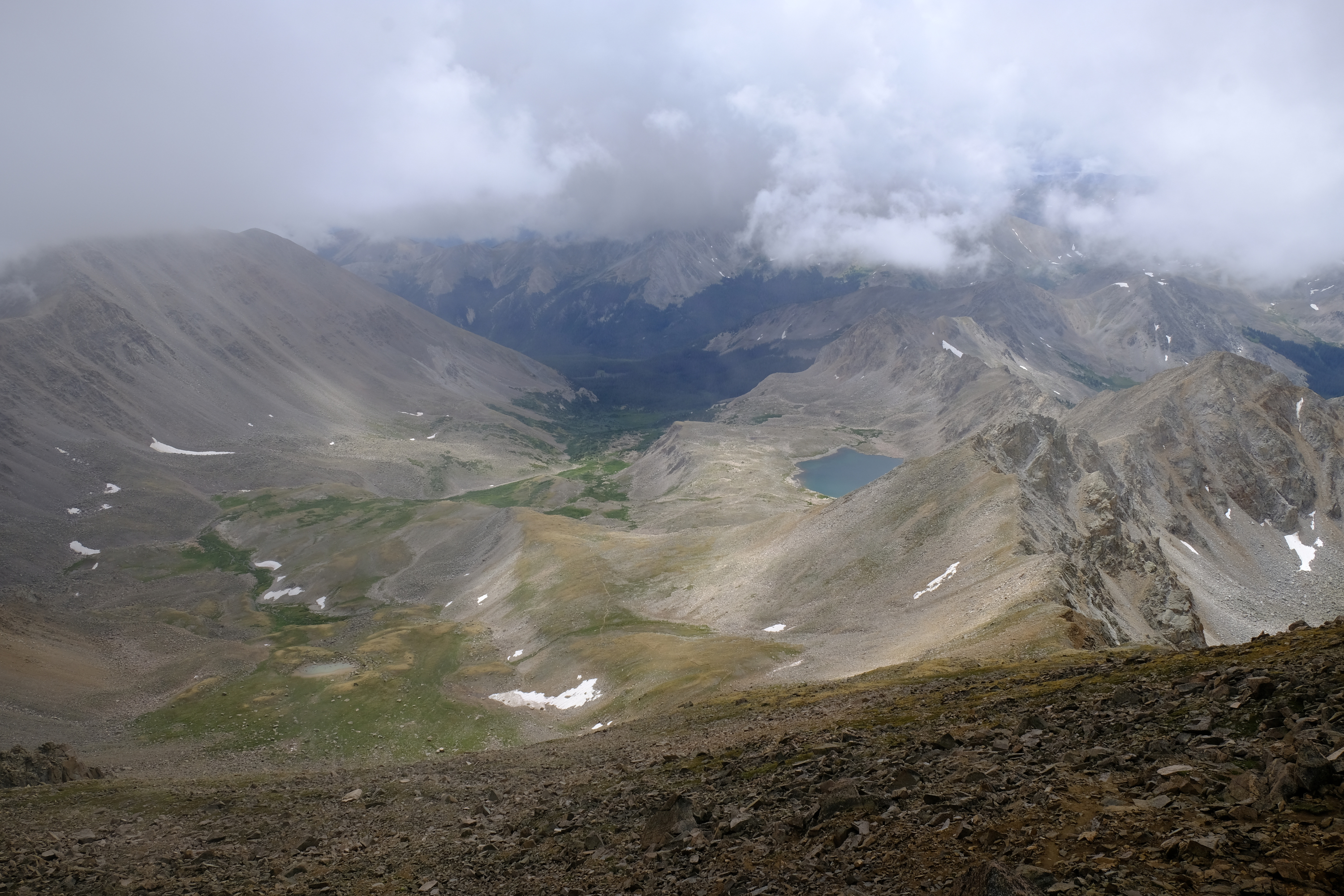
The view over Pine Creek as from the prospect, elevation apx. 12,150ft. Clouds this early in the morning are concerning.
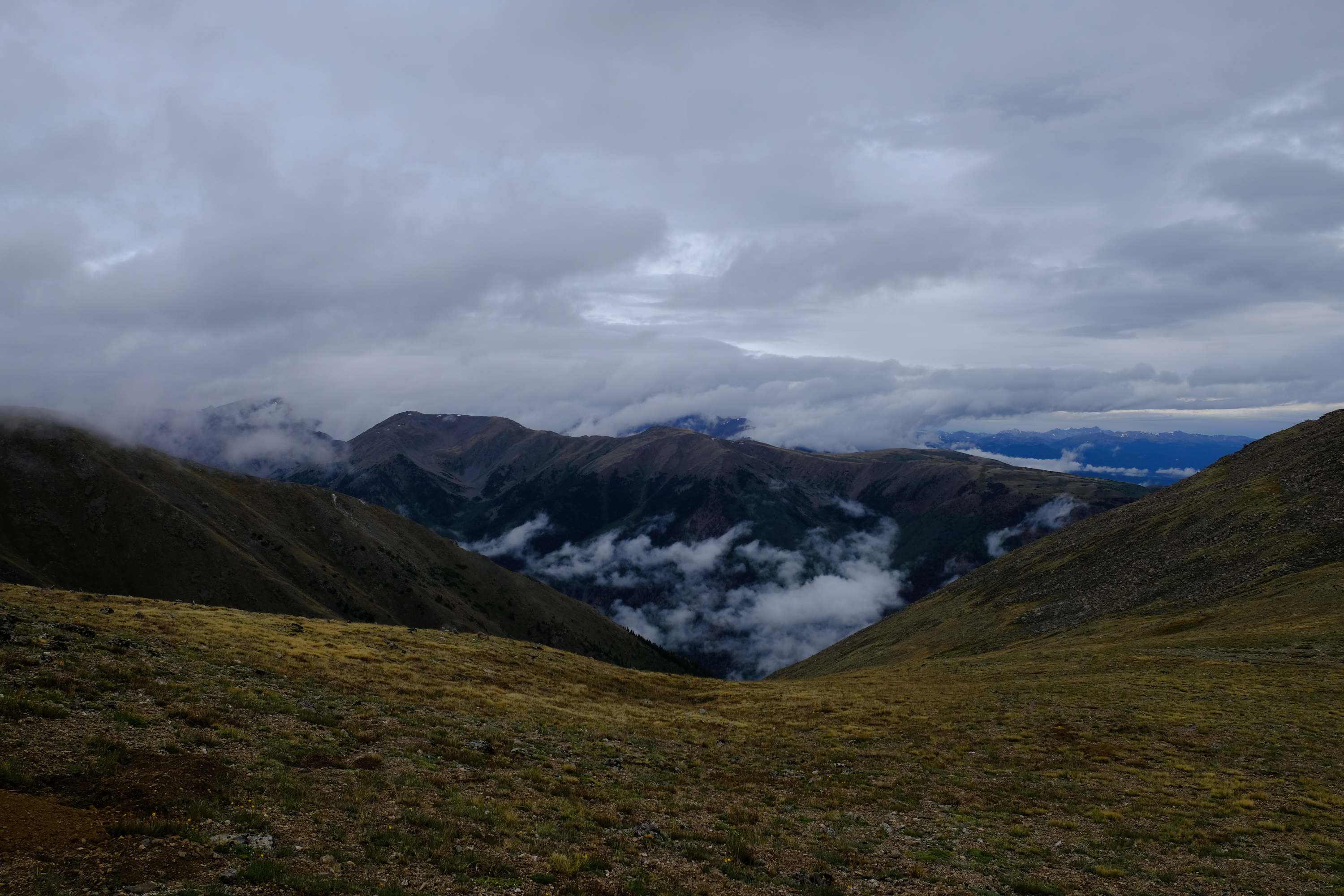
Now on the saddle east of Mt. Oxford, elevation apx. 13,150ft.
Hiking up the ridge to Oxford I tried to get a picture of a pika. This is the best I got - a distant lookout pika perched on a rock. Unlike the trained beggar pikas on some peaks, these wouldn't let me get close.
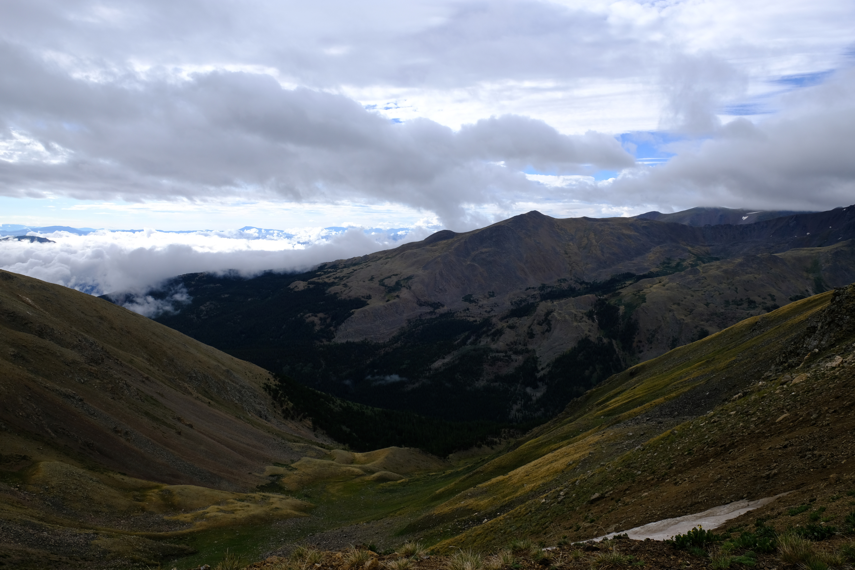
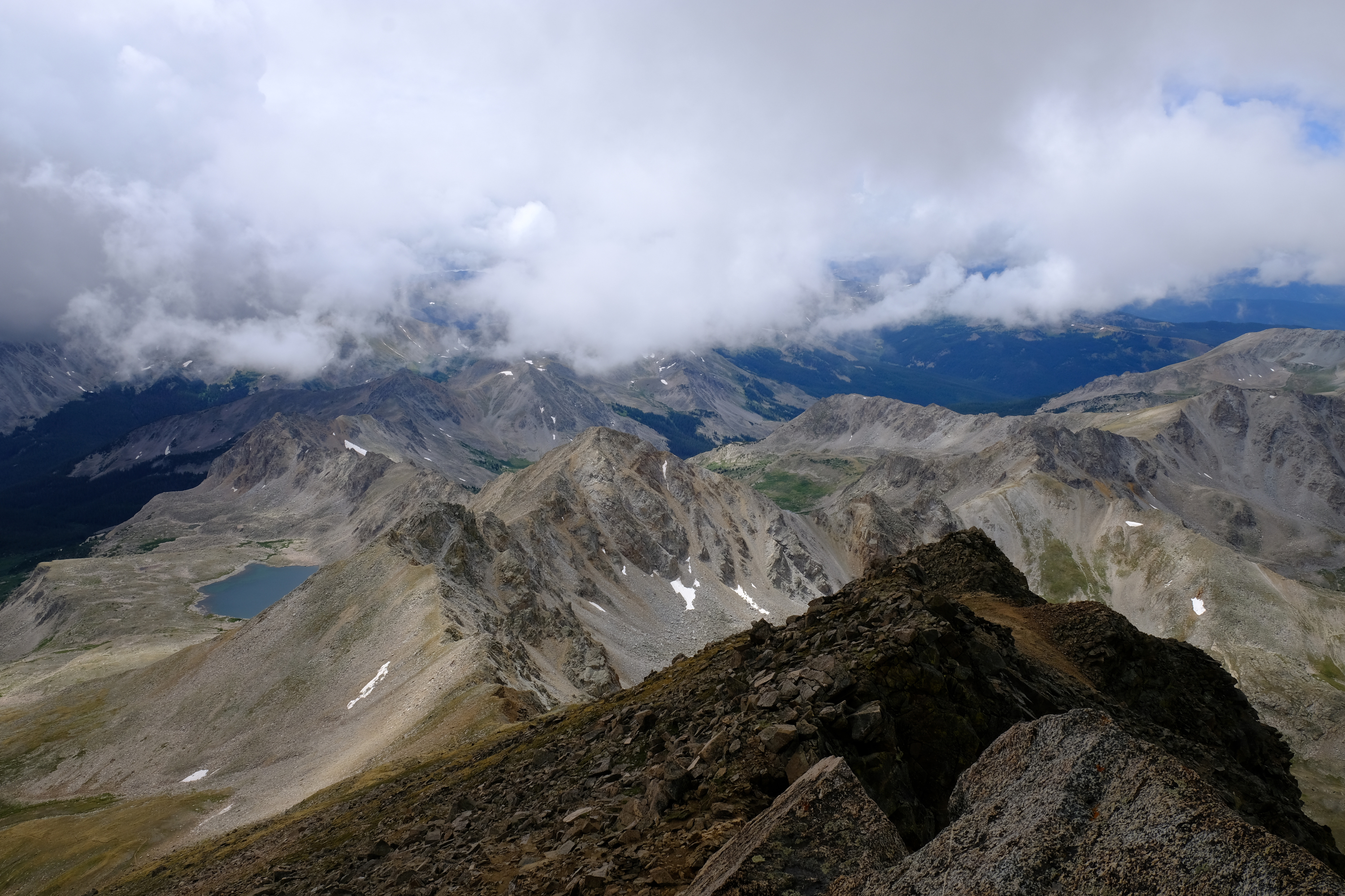
Looking back at Pine Creek.
One of the many false summits on Mt. Oxford. You think you are to the top, but when you get there you see another summit on further up. All the false summits didn't make climbing Mt. Oxford fun when I climbed it as a kid.
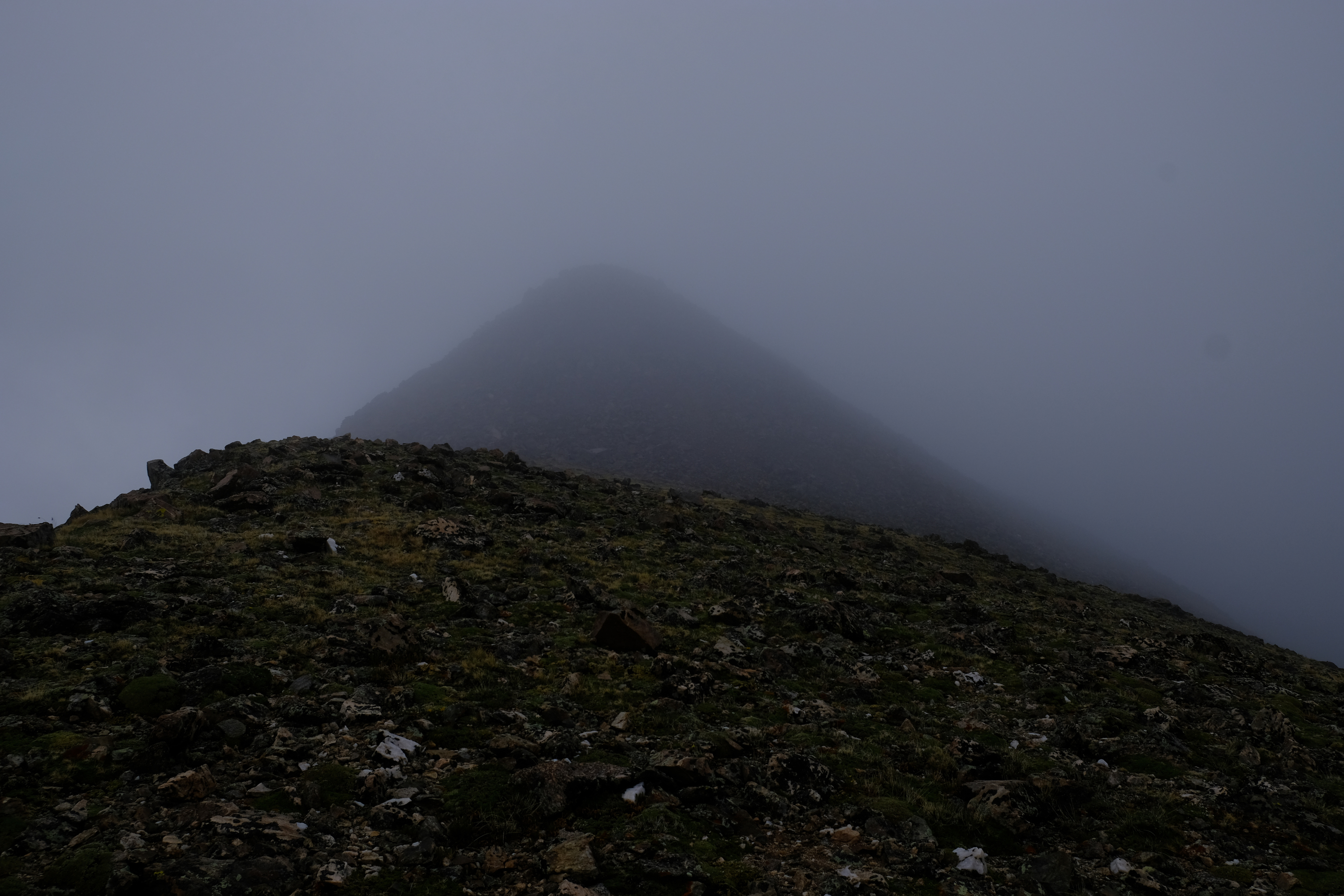
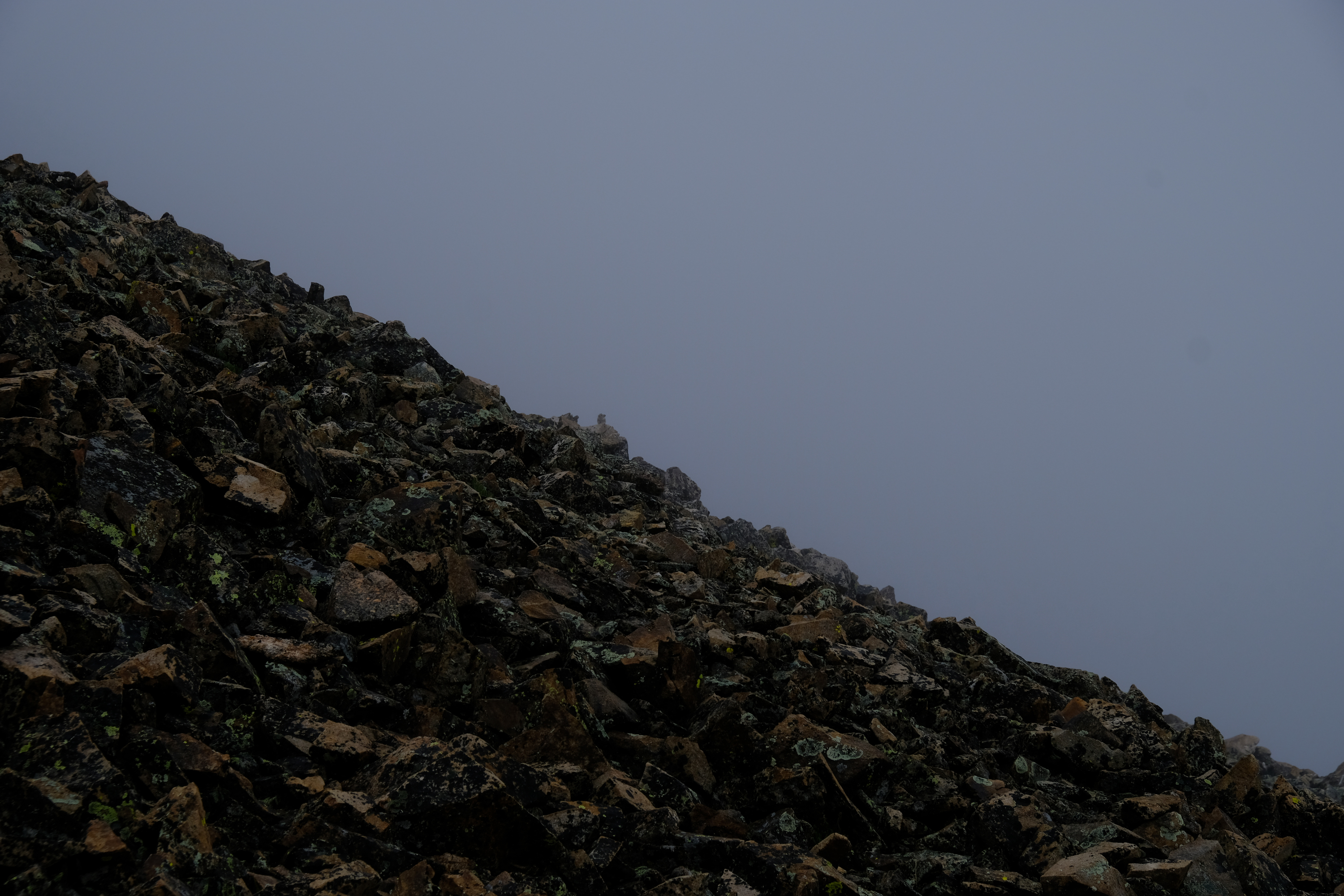
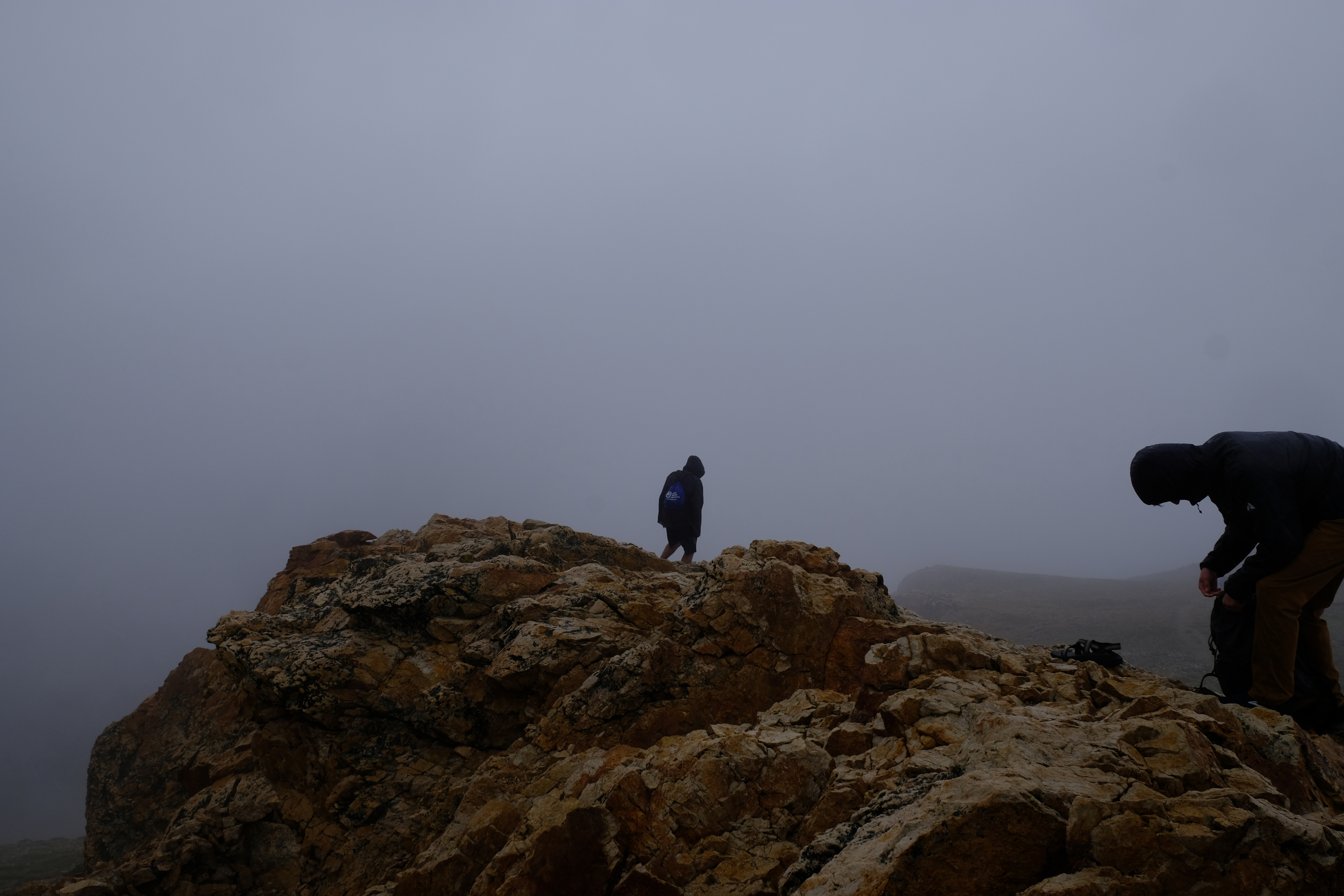
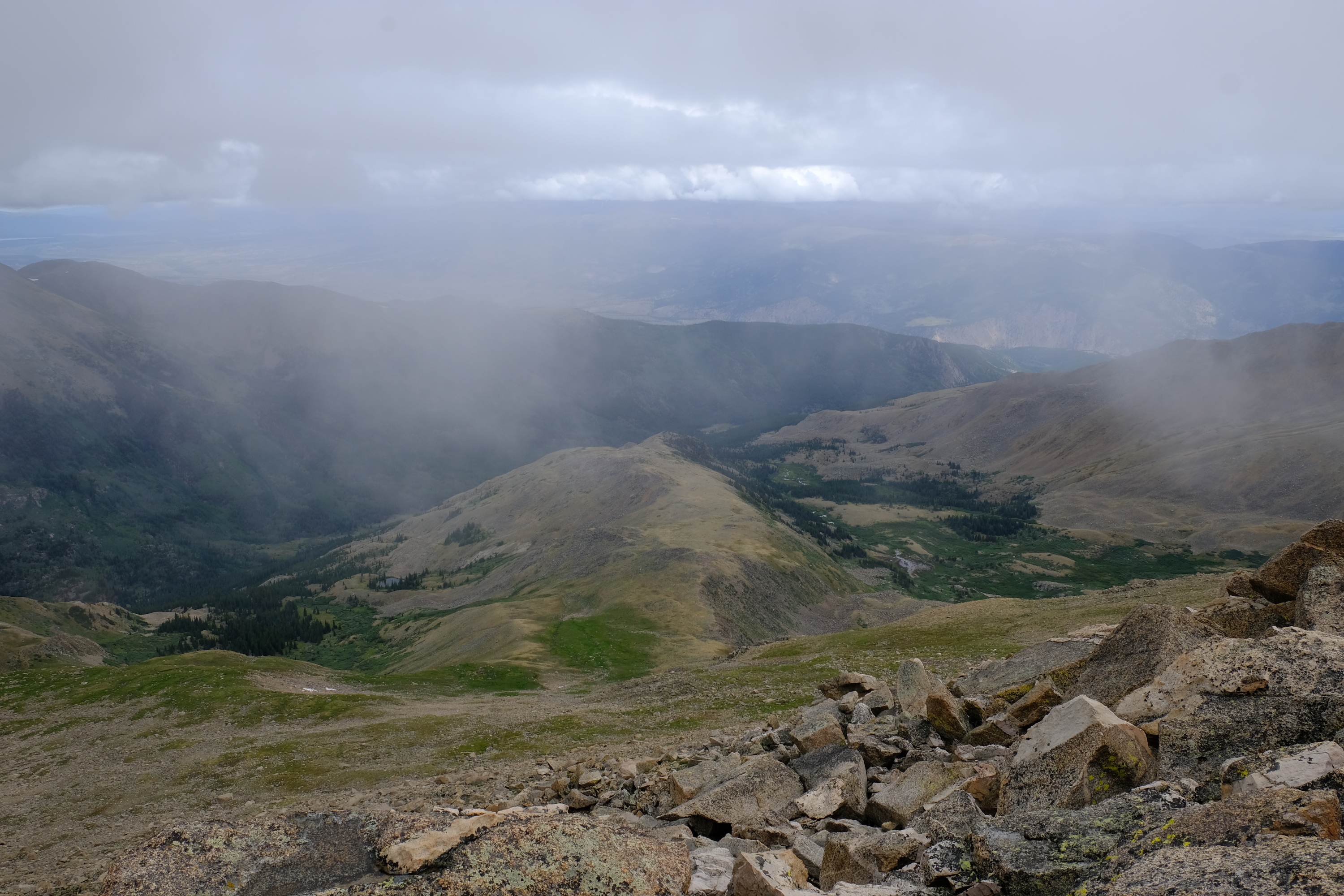
Mt. Oxford, elevation 14,153ft. This time I knew exactly where the real summit would be. Another group had come up the other side (which is a far more common route). No views this time thanks to the fog. The weather was not good, but there was not sign of thunder. You really don't want to be on these peaks during a thundershower.
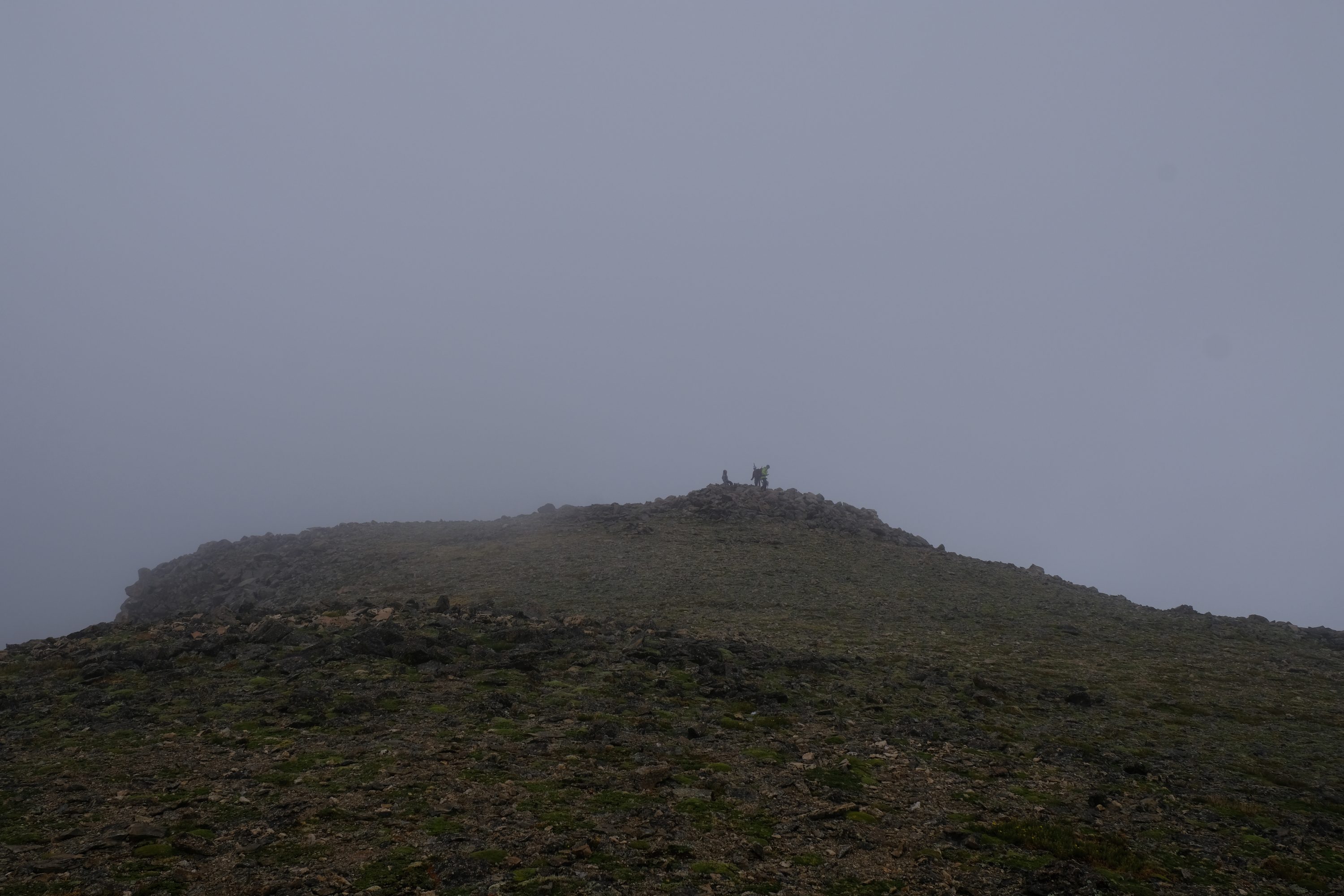
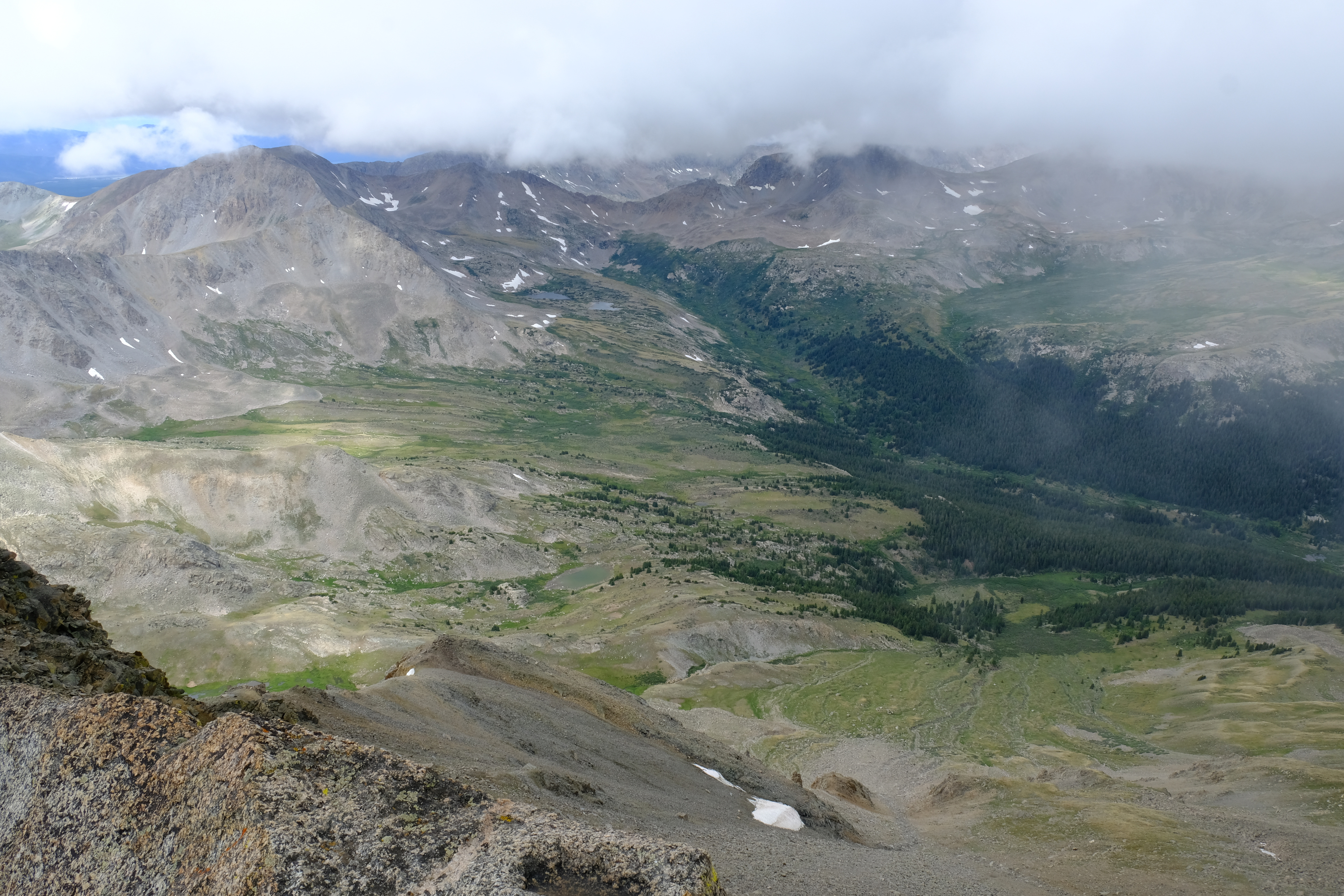
I hurried on over to the summit of Mt. Belford (elevation 14,197), which also had a bunch of people on it. Still foggy, and it started raining. I headed for Elkhead pass.
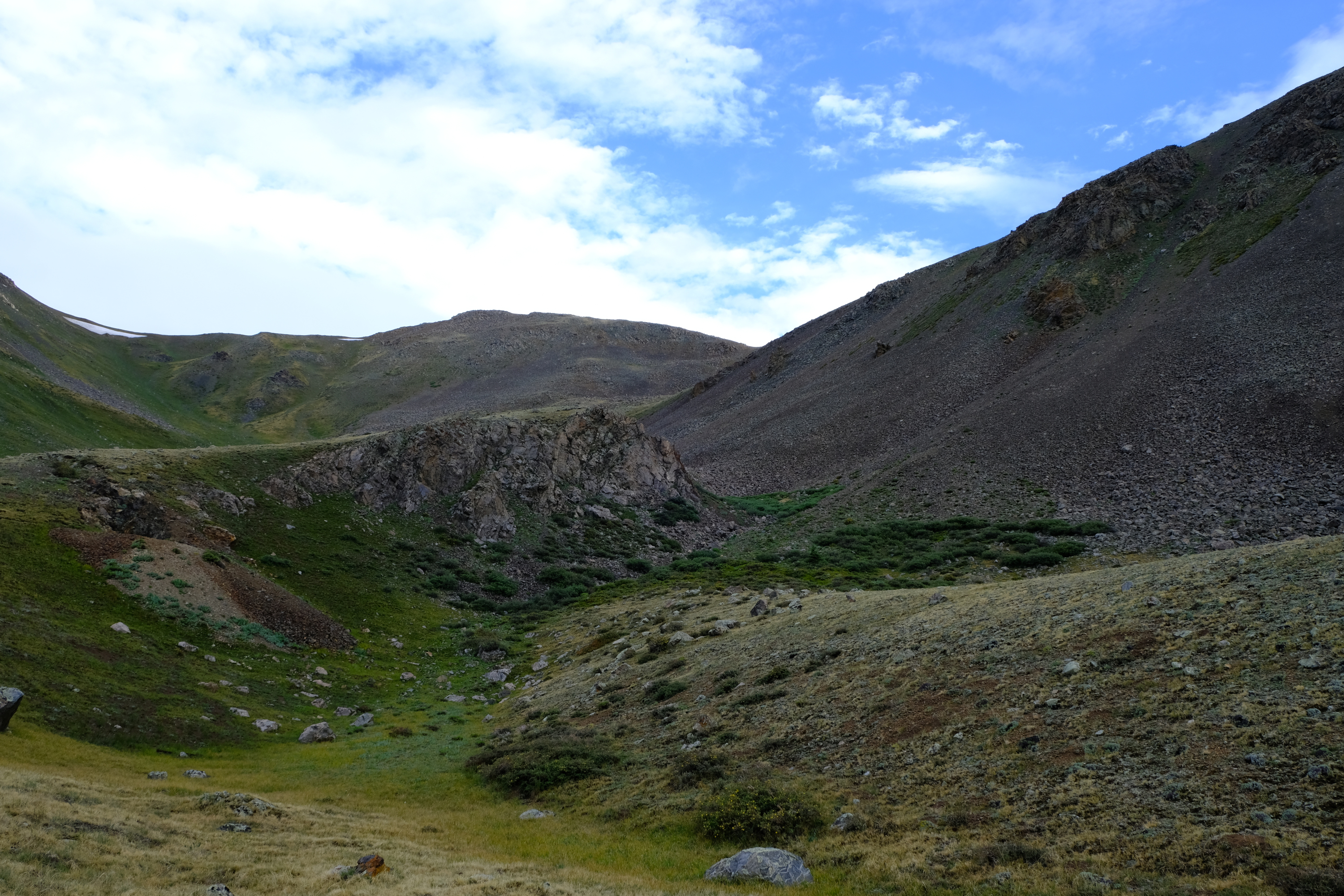
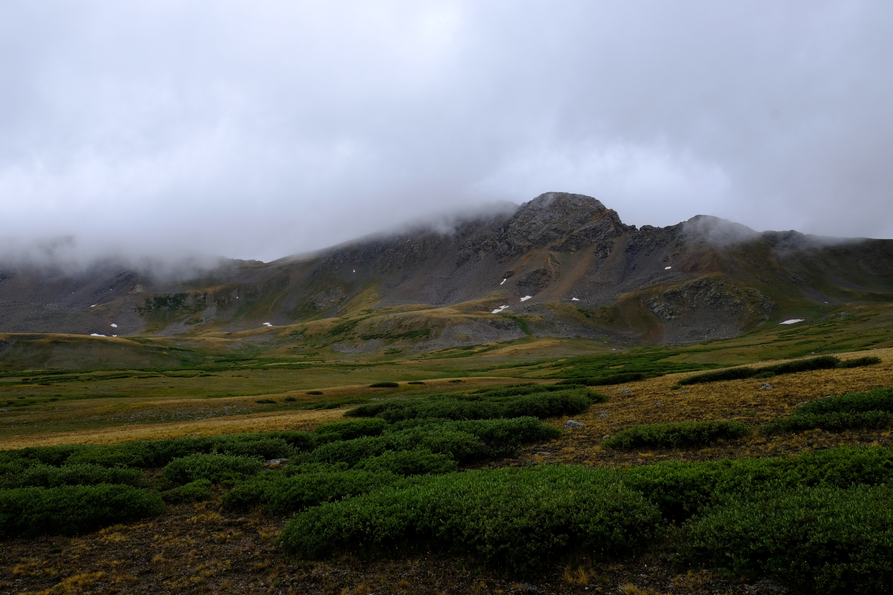
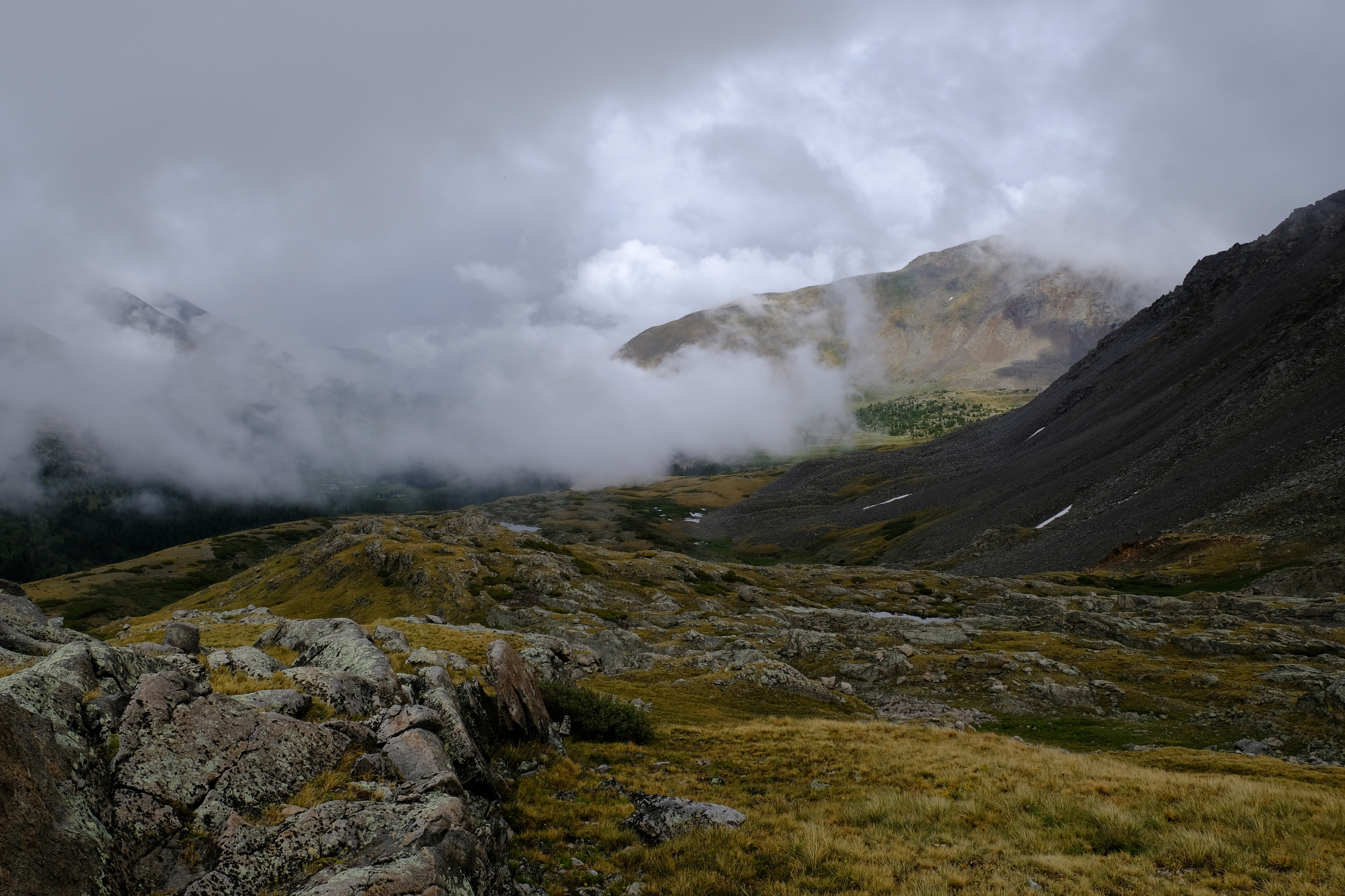
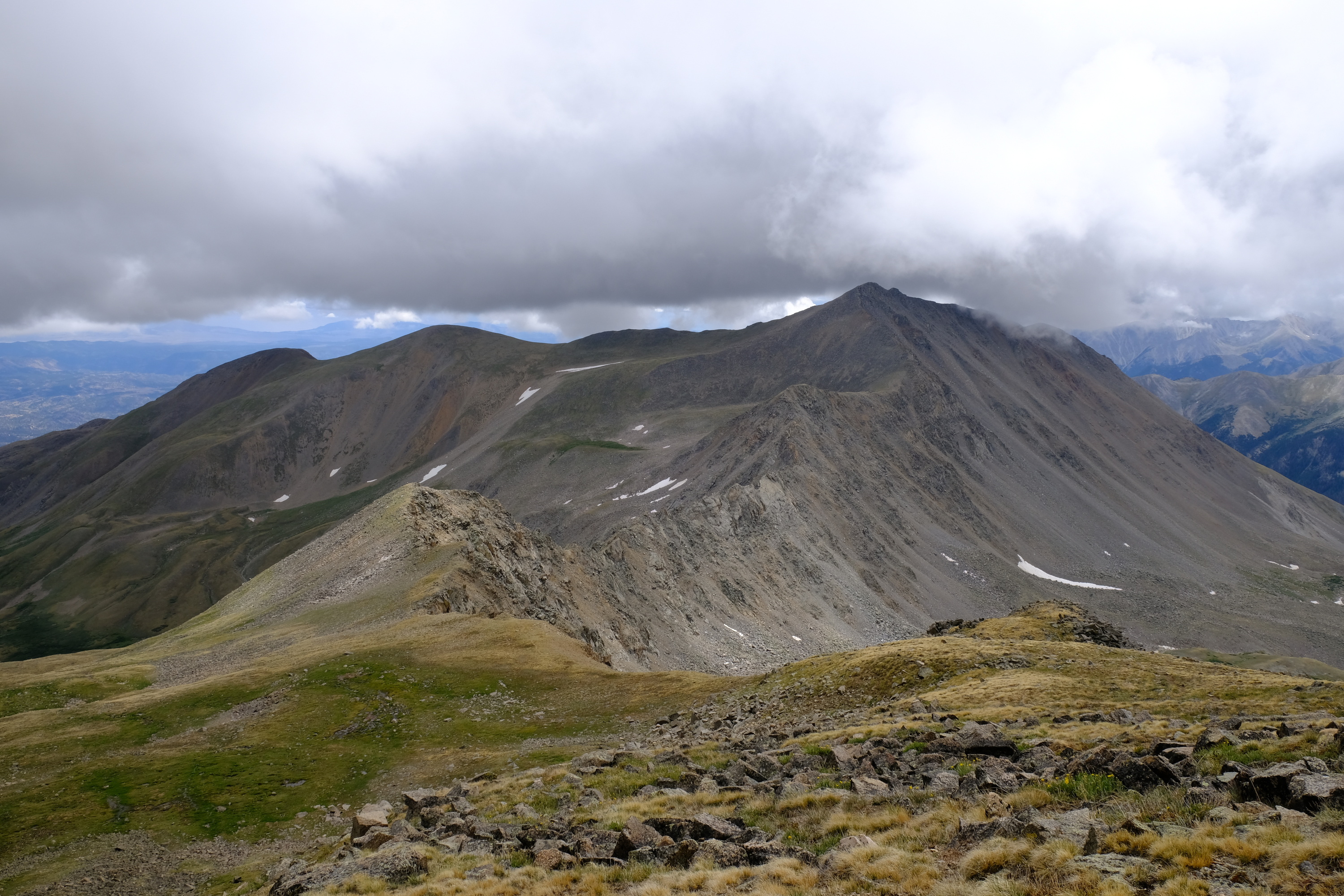
My plan was to continue on to Missouri Mountain if the weather allowed. At this point staying on the peaks was just asking for trouble, so from Elkhead pass I headed down. As seen here, much of Missouri Mountain was hidden in the clouds. Well, I have climbed it once before, and may go back some other day.
Having skipped Missouri Mountain I had a bit of extra time and hiked up Pine Creek. Seen here are Twin Lakes. I don't know how many lakes are named that, but a lot of them.
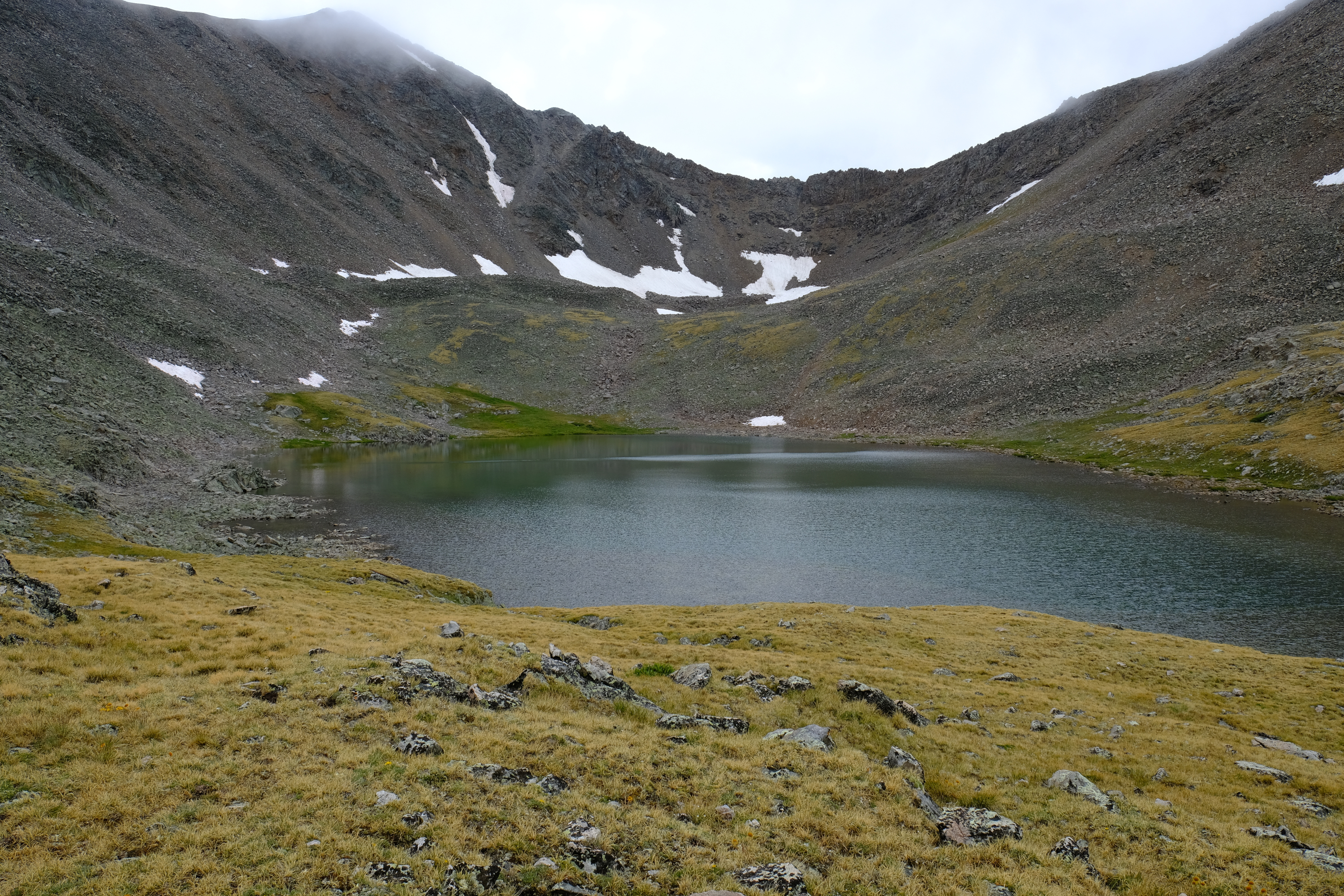
At the top of Pine Creek is Sliver King lake (elevation 12,634). A beautiful lake, probably named by some miner with a lot more ambition than his mine justified.
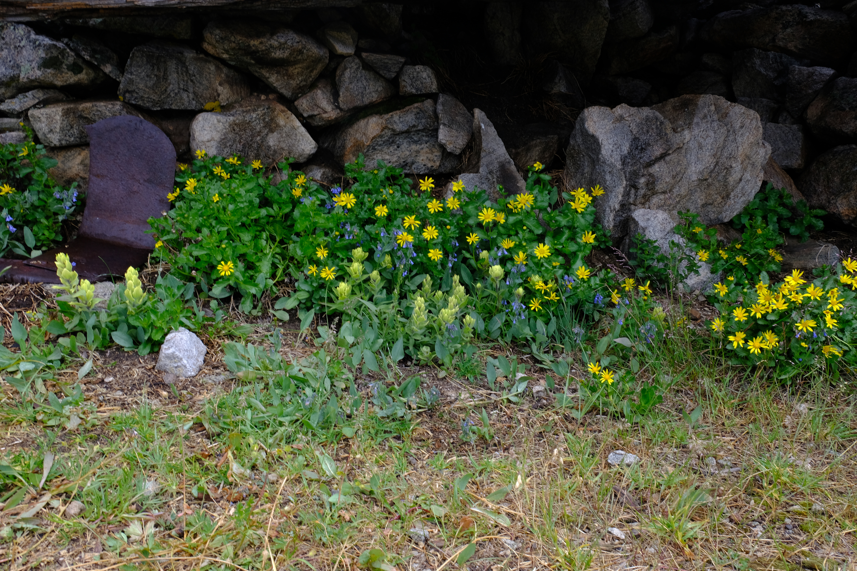
What is left of the old mine cabin.
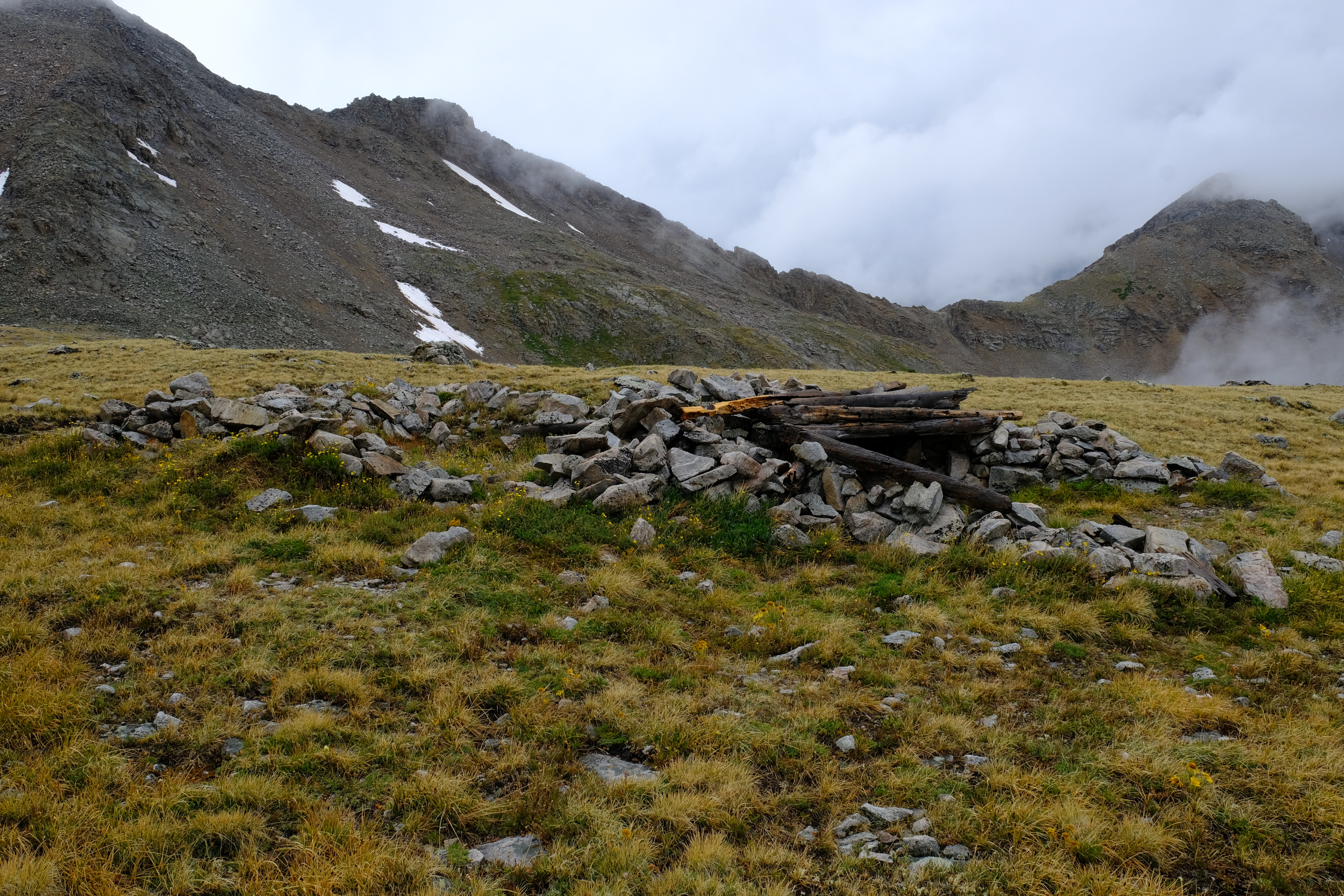
The miner might not have had a good mine, but he had a great view.
Some flowers moved into the old mine cabin.
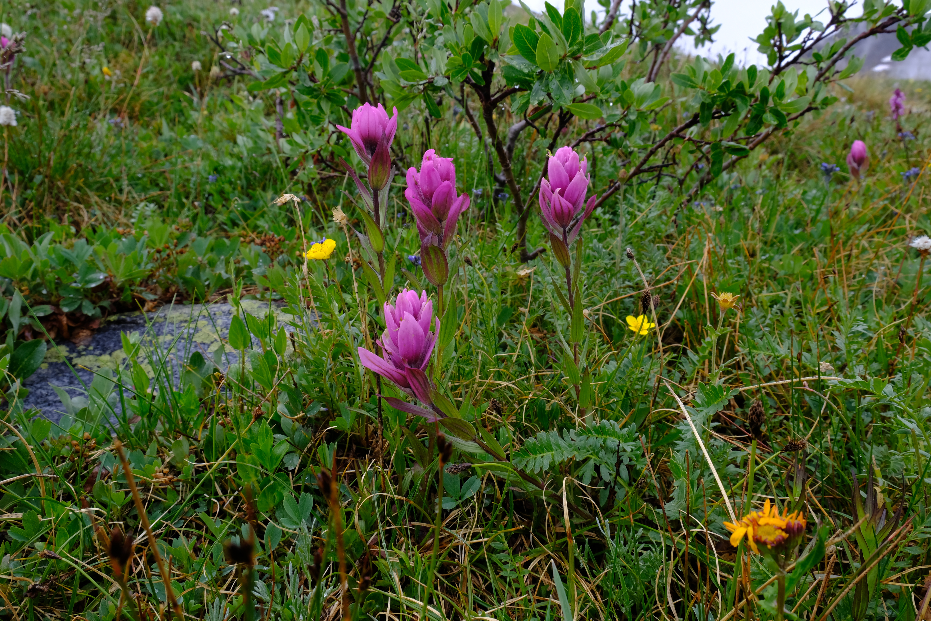
Indian paintbrush, on the way back down Pine Creek.
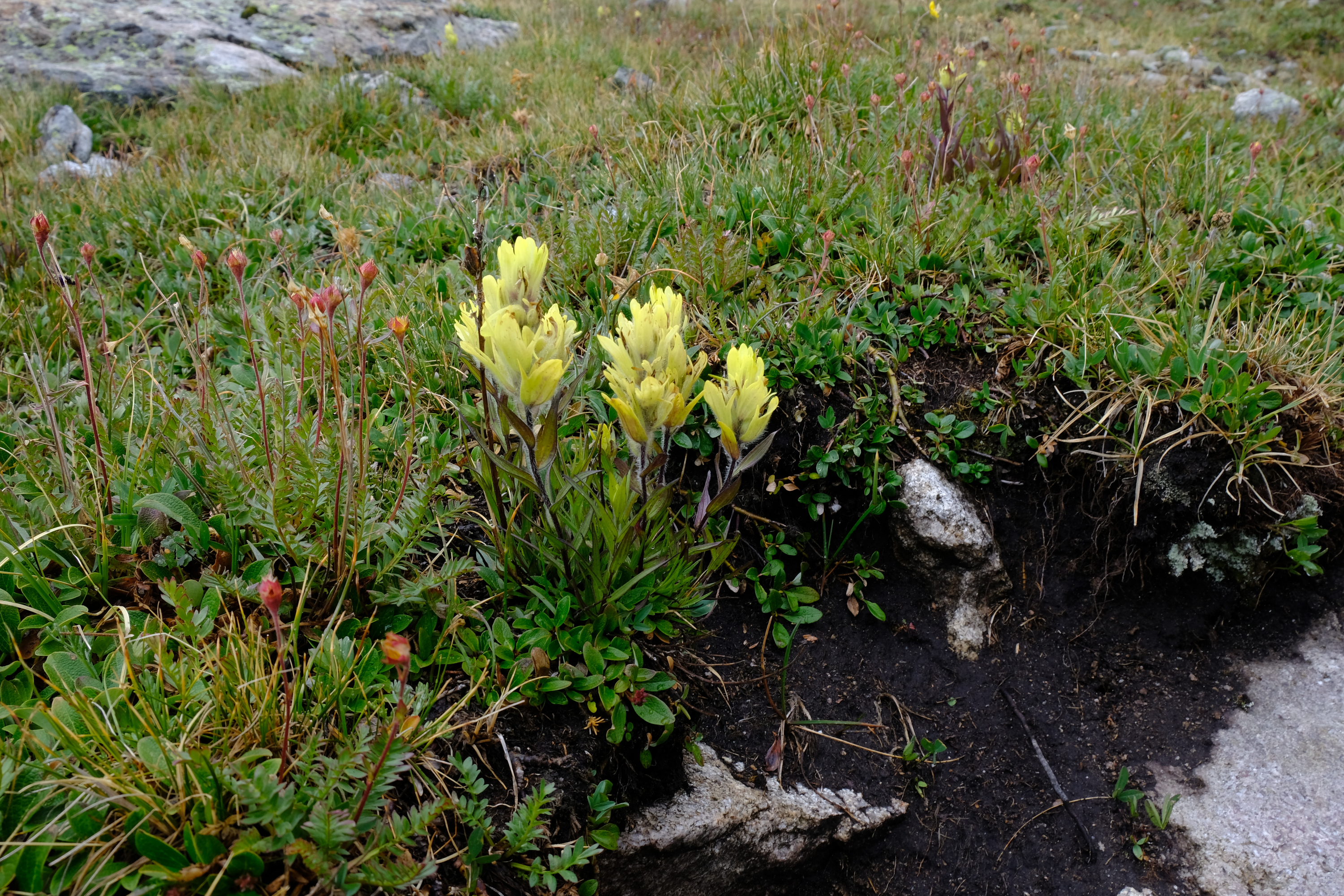
More Indian paintbrush.
After visiting Silver King lake I headed back to camp. The weather finally decided to thunder around 4:30PM, when I was well on the way down the valley.
The following day I headed up Mt. Harvard. The trail went almost straight up the ridge. Looks like it was an old mine trail, and the miner didn't believe in switchbacks.
I assume this was the start of some mine workings, based on the small mine nearby.
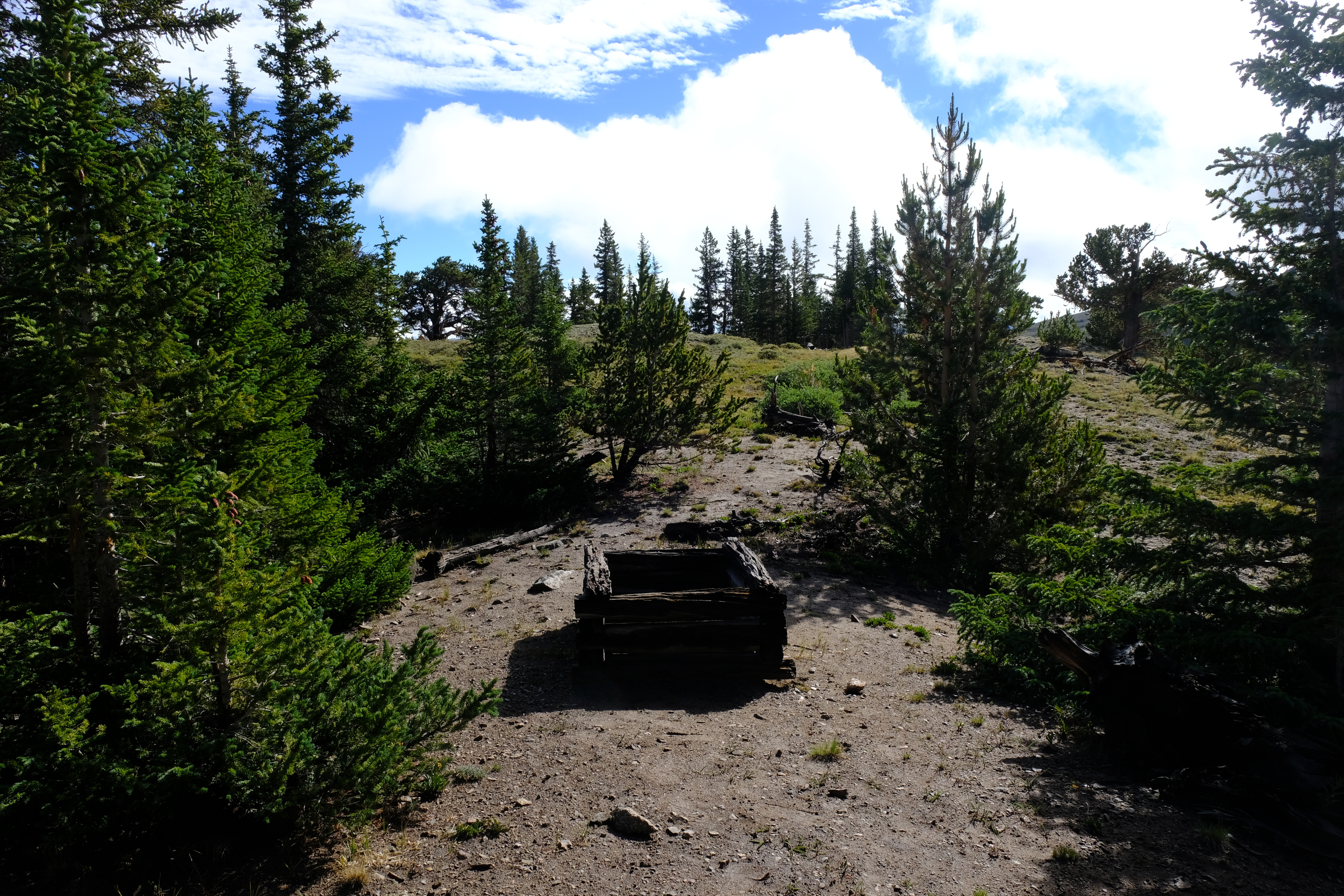
Whatever it was, they seem to have given up.
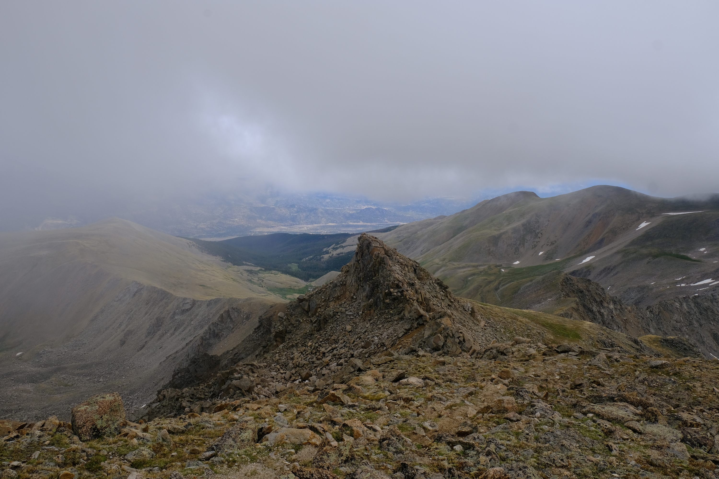
Looking over at Oxford and Belford from Harvard. The weather was not great today, either.
Looking back at the route I took up Mt. Harvard.
Finally on the summit of Mt. Harvard (elevation 14,414). This is the view up Pine Creek. Twin Lakes are visible; Silver King lake is just out of sight.
Looking south toward Bear Lake. This is the standard route up Mt. Harvard.
The Continental Divide passes by Bear Lake and follows the ridge to the west (right) of the summit above Bear Lake.
Time to head down; I don't like the looks of those clouds.
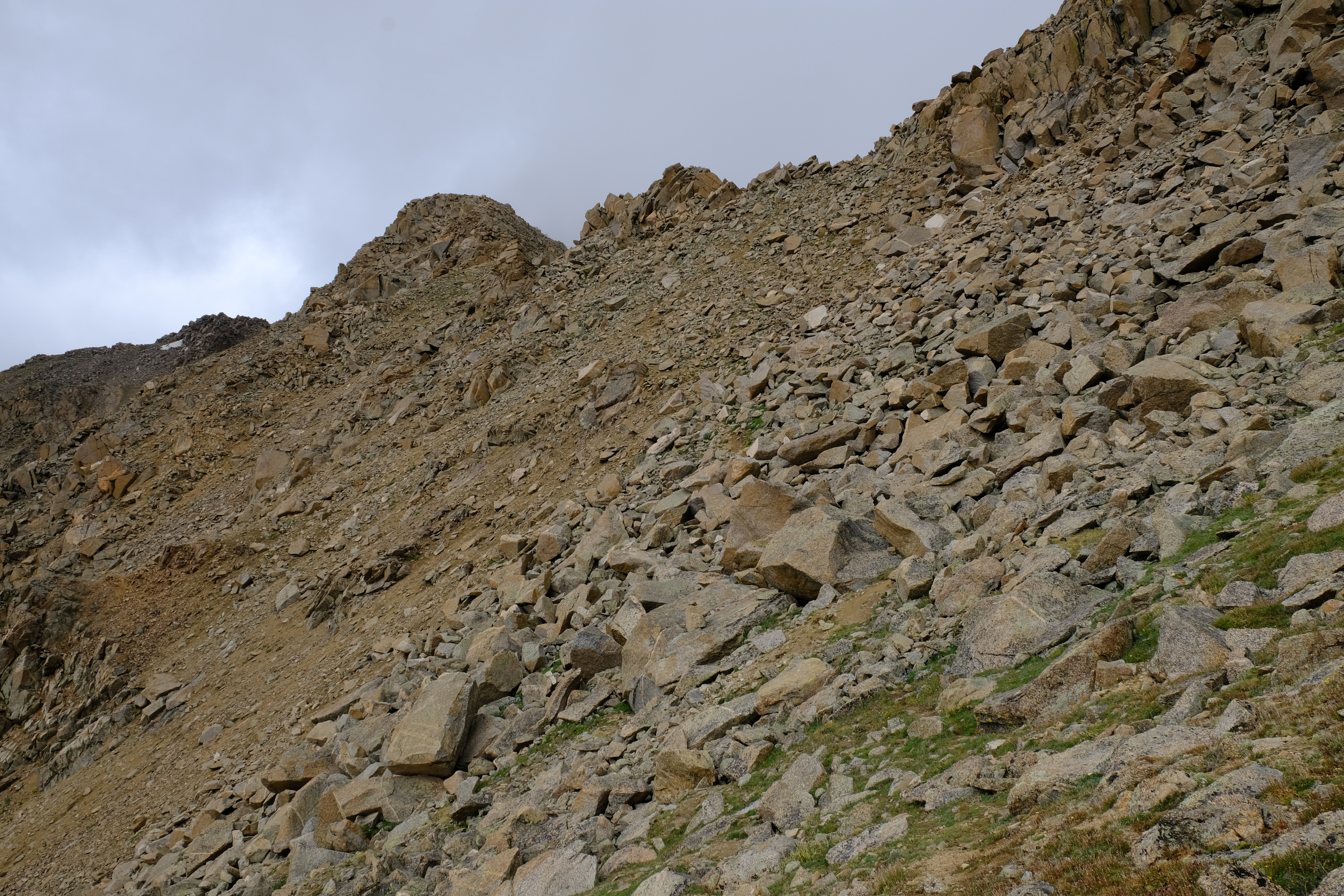
I headed for Frenchman Creek. Sometime it is easier to go over the bumps on a mountain ridge, and sometimes it is easier to go around. I went around this one.
Not that going around was super easy, but it wasn't too bad.
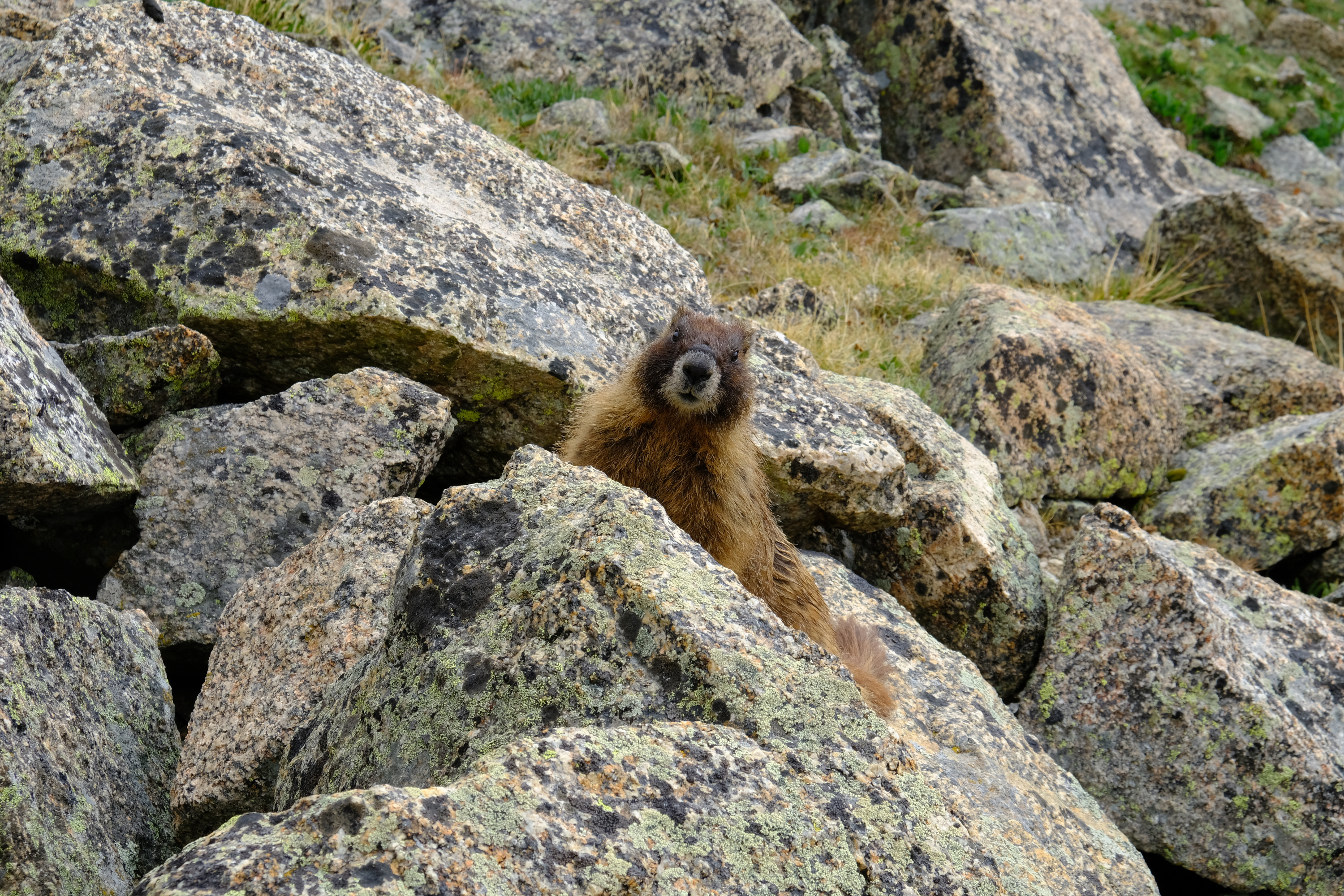
A marmot. Marmots are large ground squirrels. At least in Colorado, they are found mostly at high altitude, they spend all summer eating and eating to get fat, and then they then hibernate all winter. Come spring they repeat the process.
While headed for Frenchman Creek I good look at the traverse to Mt. Columbia. But that is a climb for some other time. And yes, I have already climbed Mt. Columbia, too.
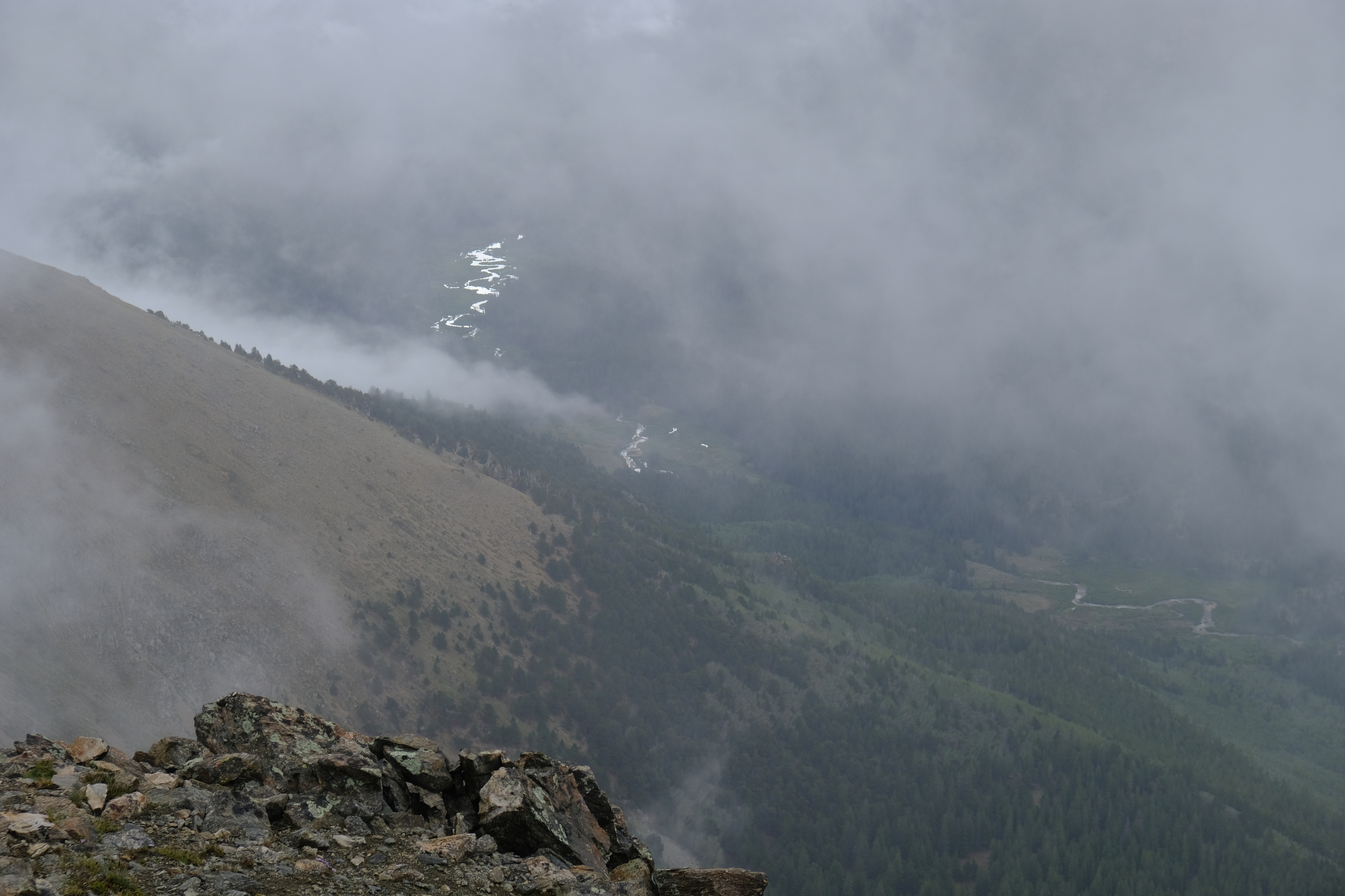
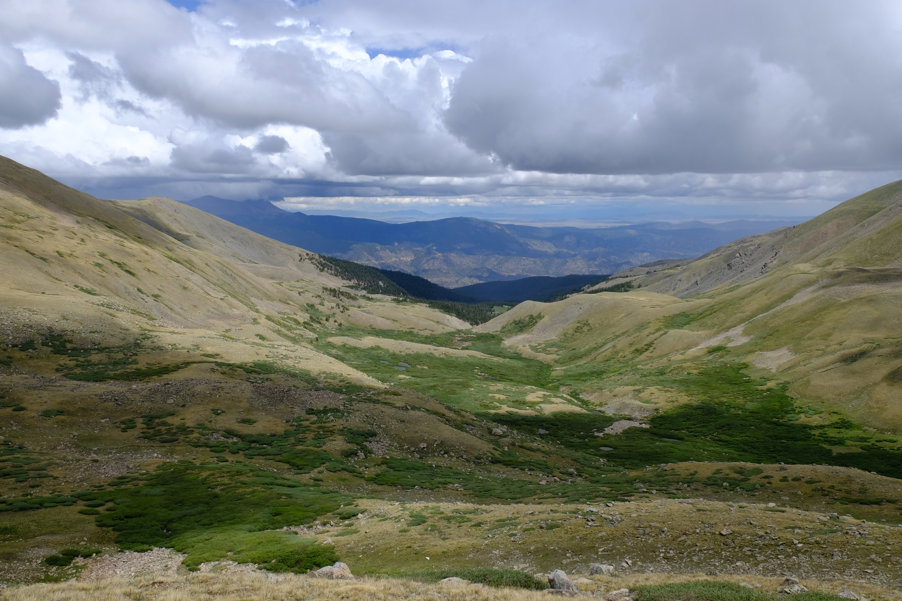
View down Frenchman Creek to the upper Arkansas valley.
Once I hiking down Frenchman Creek trail the weather finally caught up to me. A giant thundershower turned the trail into a small creek. At least I was safe from the lightning.

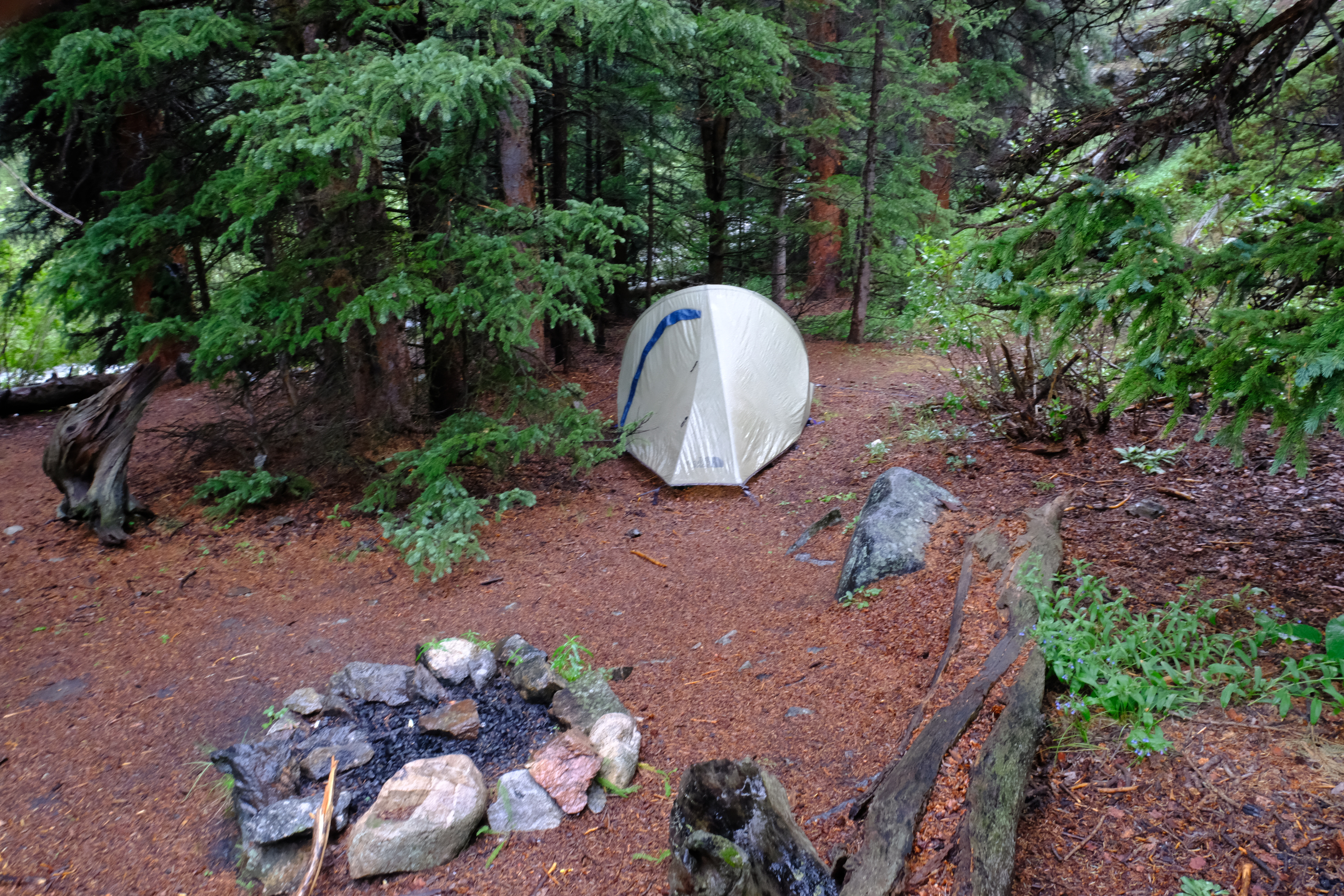
Finally back to camp. A very damp camp. I fired up the camp stove, had a hot meal, and got to bed.
The next morning I packed up camp and headed out
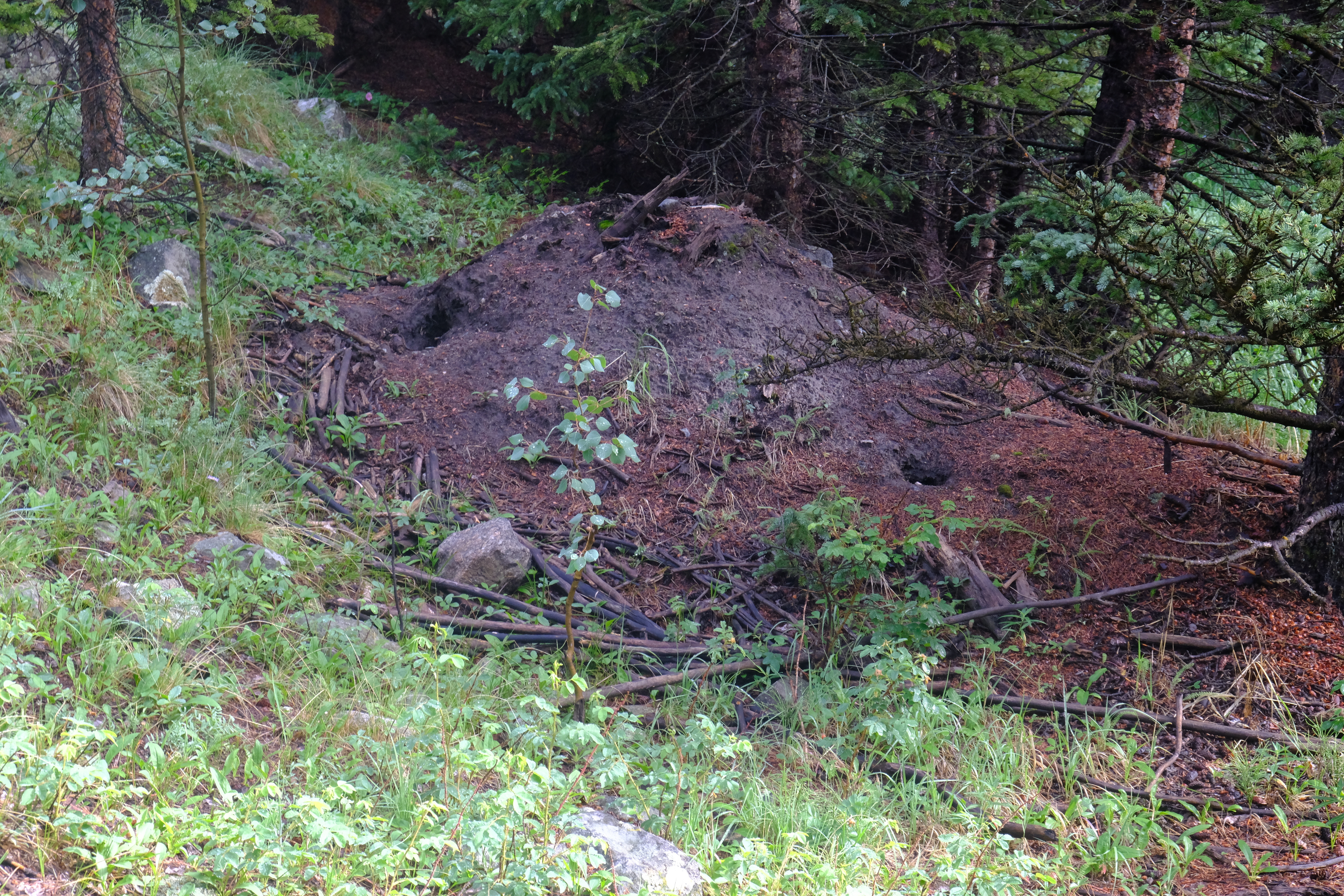
An old beaver pond near where I camped. I don't know quite how old, but it looked to be more dirt than logs.
The beaver lodge at that pond was little more than a dirt mound. Enough wood remained that there seemed to be a hollow spot inside, but it was in pretty bad shape. The beaver was long gone.
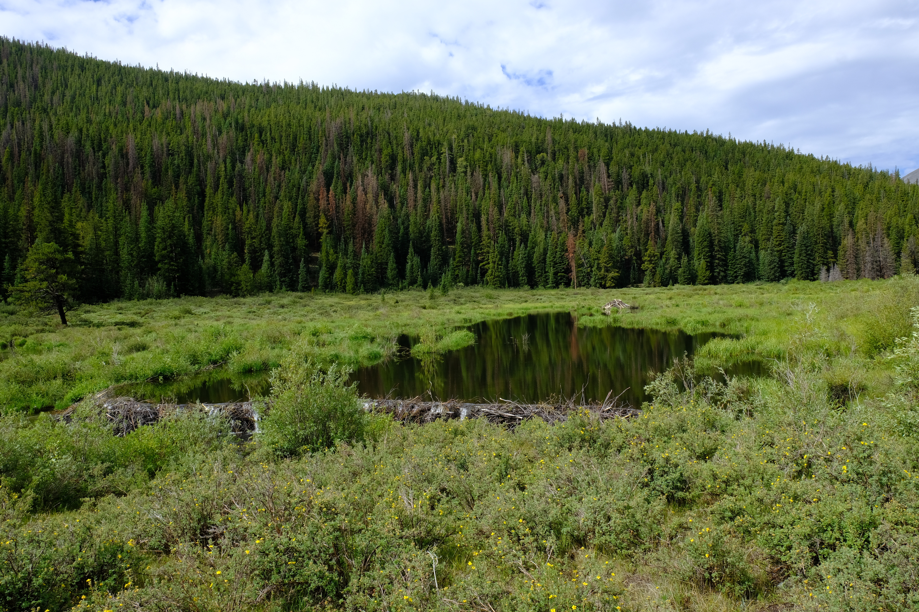
A bit down creek from where I camped was a newer, much more intact beaver dam and lodge.
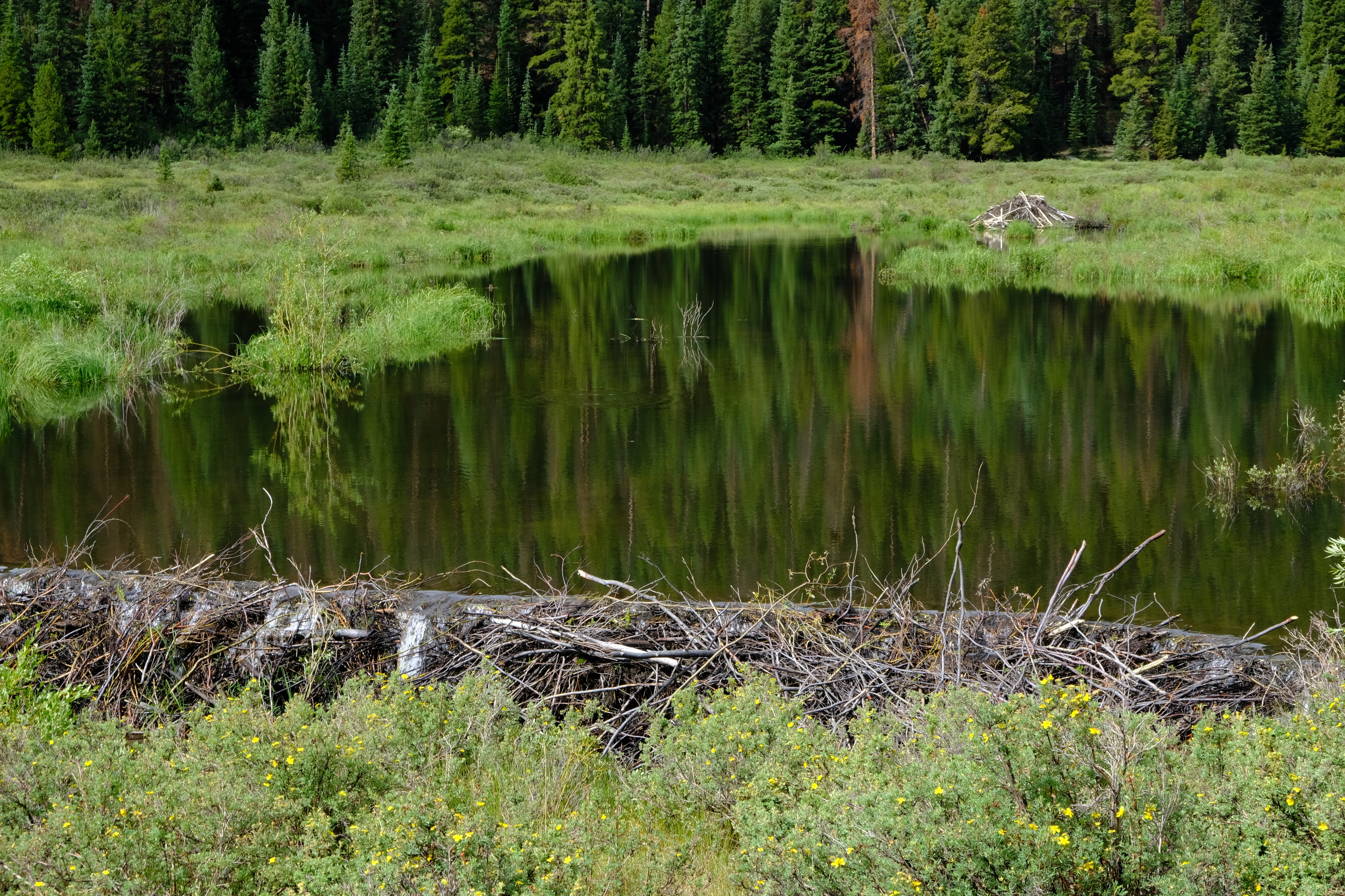
The dam looked to be in good shape.
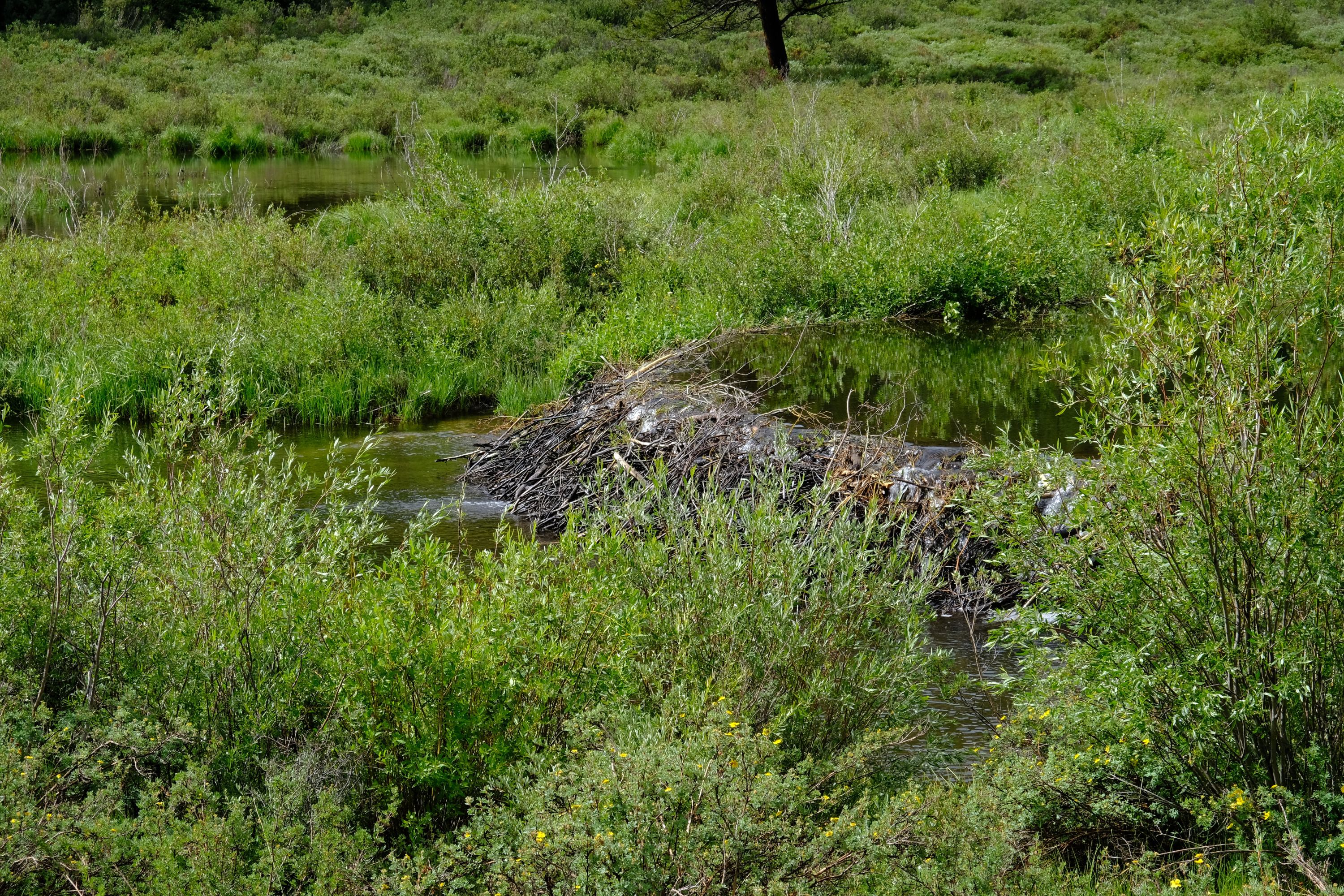
Beaver dams make for great scenery, bad camping, and extra mosquitoes.
Never leave your trail parked too close to the creek...
After a good few days I made it back out and headed home.
Last Updated: Aug 2020; Original Posting.
© David C. Hunter, 2020
fb {at) dragonsdawn (dot] org
![]()
